53801 Austin Dr Bridgeport, OH 43912
Estimated Value: $297,000 - $421,995
4
Beds
2
Baths
1,755
Sq Ft
$203/Sq Ft
Est. Value
About This Home
This home is located at 53801 Austin Dr, Bridgeport, OH 43912 and is currently estimated at $355,499, approximately $202 per square foot. 53801 Austin Dr is a home with nearby schools including Anna Marie Ayers Elementary School, Martins Ferry Middle School, and Martins Ferry High School.
Ownership History
Date
Name
Owned For
Owner Type
Purchase Details
Closed on
Aug 31, 2006
Sold by
Mullen Judith A
Bought by
Mullen Thomas W
Current Estimated Value
Purchase Details
Closed on
Sep 4, 2003
Sold by
Mullen Thomas W and Mullen Judith
Bought by
Mullen Thomas W and Mullen Judith
Purchase Details
Closed on
Jul 27, 1999
Bought by
Ok Masonry Inc
Purchase Details
Closed on
Jan 1, 1986
Bought by
Ok Masonry Inc
Create a Home Valuation Report for This Property
The Home Valuation Report is an in-depth analysis detailing your home's value as well as a comparison with similar homes in the area
Home Values in the Area
Average Home Value in this Area
Purchase History
| Date | Buyer | Sale Price | Title Company |
|---|---|---|---|
| Mullen Thomas W | -- | Attorney | |
| Mullen Thomas W | $20,000 | -- | |
| Ok Masonry Inc | -- | -- | |
| Ok Masonry Inc | -- | -- |
Source: Public Records
Tax History Compared to Growth
Tax History
| Year | Tax Paid | Tax Assessment Tax Assessment Total Assessment is a certain percentage of the fair market value that is determined by local assessors to be the total taxable value of land and additions on the property. | Land | Improvement |
|---|---|---|---|---|
| 2024 | $4,479 | $125,020 | $13,070 | $111,950 |
| 2023 | $4,349 | $113,110 | $11,150 | $101,960 |
| 2022 | $4,346 | $113,112 | $11,154 | $101,958 |
| 2021 | $4,328 | $113,120 | $11,154 | $101,966 |
| 2020 | $3,982 | $98,370 | $9,700 | $88,670 |
| 2019 | $4,124 | $97,110 | $8,440 | $88,670 |
| 2018 | $2,247 | $97,110 | $8,440 | $88,670 |
| 2017 | $471 | $10,550 | $10,550 | $0 |
| 2016 | $471 | $10,550 | $10,550 | $0 |
| 2015 | $481 | $10,550 | $10,550 | $0 |
| 2014 | $437 | $9,590 | $9,590 | $0 |
| 2013 | -- | $9,590 | $9,590 | $0 |
Source: Public Records
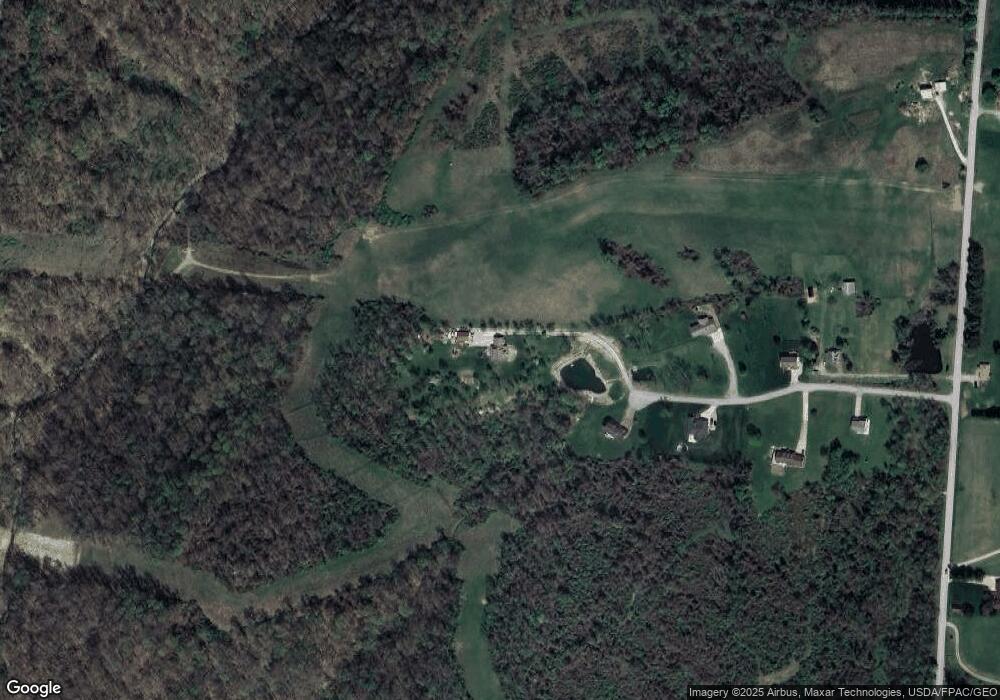
Map
Nearby Homes
- 69657 Chermont Rd
- 70571 Pine Hollow Rd
- 70610 Chermont Rd
- 53760 Farmington Rd
- 68960 Pine Terrace Rd
- 70540 Colerain Rd
- 54980 Maple Ave
- 68133 Blaine Chermont Rd
- 70392 Barton Rd
- 53979 Colerain Pike
- 69895 Woods Rd
- 71850 Colerain Rd
- 71900 Cope St
- 53679 Quimby Ave
- 55273 Poplar Ave
- 67867 Crosley Rd
- 68511 Liston Ave
- 0 Poplar Dr Unit 4491238
- 55480 National Rd
- 55490 National Rd
- 53800 Austin Dr
- 53851 Austin Dr
- 53850 Austin Dr
- 53901 Austin Dr
- 53900 Austin Dr
- 53990 Austin Dr
- 69995 Chermont Rd
- 70421 Swingle Rd
- 70287 Swingle Rd
- 70135 Swingle Rd
- 69899 Chermont Rd
- 70115 Chermont Rd
- 70200 Swingle Rd
- 69811 Chermont Rd
- 69805 Lansing Chermont Rd
- 70338 Swingle Rd
- 70370 Pine Hollow Rd
- 69800 Swingle Rd
- 69661 Blaine Chermont Rd
- 54240 Krob Ln