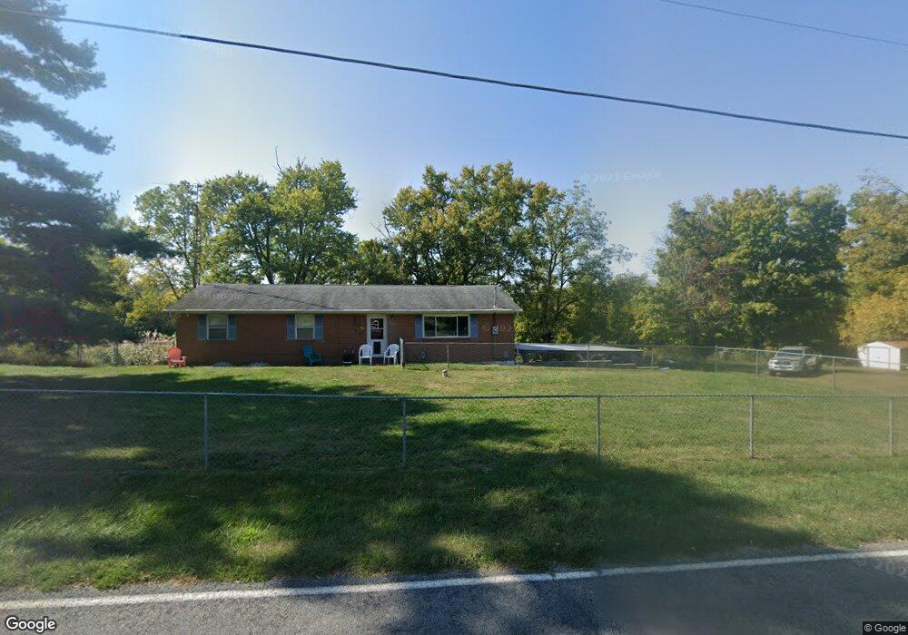
5381 Willowdale Rd Springfield, OH 45502
Estimated Value: $263,372 - $306,000
3
Beds
2
Baths
1,431
Sq Ft
$197/Sq Ft
Est. Value
About This Home
This home is located at 5381 Willowdale Rd, Springfield, OH 45502 and is currently estimated at $281,843, approximately $196 per square foot. 5381 Willowdale Rd is a home located in Clark County with nearby schools including Northwestern Elementary School and Northwestern Junior/Senior High School.
Ownership History
Date
Name
Owned For
Owner Type
Purchase Details
Closed on
Mar 28, 2001
Sold by
Frost Brian D and Murphy Linda M
Bought by
Bullard Donald G and Ragan Bullard Sandra J
Current Estimated Value
Home Financials for this Owner
Home Financials are based on the most recent Mortgage that was taken out on this home.
Original Mortgage
$119,450
Outstanding Balance
$45,606
Interest Rate
7.5%
Mortgage Type
VA
Estimated Equity
$236,237
Purchase Details
Closed on
Jul 21, 1992
Create a Home Valuation Report for This Property
The Home Valuation Report is an in-depth analysis detailing your home's value as well as a comparison with similar homes in the area
Home Values in the Area
Average Home Value in this Area
Purchase History
| Date | Buyer | Sale Price | Title Company |
|---|---|---|---|
| Bullard Donald G | $116,000 | First Title Ins Agency Inc | |
| -- | -- | -- |
Source: Public Records
Mortgage History
| Date | Status | Borrower | Loan Amount |
|---|---|---|---|
| Open | Bullard Donald G | $119,450 |
Source: Public Records
Tax History Compared to Growth
Tax History
| Year | Tax Paid | Tax Assessment Tax Assessment Total Assessment is a certain percentage of the fair market value that is determined by local assessors to be the total taxable value of land and additions on the property. | Land | Improvement |
|---|---|---|---|---|
| 2024 | $3,174 | $69,480 | $12,600 | $56,880 |
| 2023 | $3,174 | $69,480 | $12,600 | $56,880 |
| 2022 | $3,261 | $69,480 | $12,600 | $56,880 |
| 2021 | $2,811 | $53,220 | $9,620 | $43,600 |
| 2020 | $2,839 | $53,220 | $9,620 | $43,600 |
| 2019 | $2,813 | $53,220 | $9,620 | $43,600 |
| 2018 | $2,394 | $44,520 | $8,750 | $35,770 |
| 2017 | $2,395 | $44,514 | $8,747 | $35,767 |
| 2016 | $2,348 | $44,514 | $8,747 | $35,767 |
| 2015 | $2,309 | $43,821 | $8,747 | $35,074 |
| 2014 | $2,308 | $43,821 | $8,747 | $35,074 |
| 2013 | $2,292 | $43,821 | $8,747 | $35,074 |
Source: Public Records
Map
Nearby Homes
- 3800 Crescent Hill Rd
- 6250 Willowdale Rd
- 4211 Grey Stone Crossing
- 4100 Troy Rd Unit 12
- 3802 Lawrenceville Dr
- 4328 Pine Tree Place
- 4970 Troy Rd
- 5889 Troy Rd
- 2639 Anita Dr
- 2558 Stoney Creek St
- 2601 Ballentine Pike
- 5770 Storms Creek Rd
- 5886 State Route 55
- 2137 Manhattan Blvd
- 3888 Folk Ream Rd
- 2100 Manhattan Blvd
- 2036 Troy Rd
- 5325 Willowdale Rd
- 5412 Willowdale Rd
- 5310 Willowdale Rd
- 5277 Willowdale Rd
- 5275 Willowdale Rd
- 5250 Willowdale Rd
- 5220 Willowdale Rd
- 5498 Willowdale Rd
- 3350 Haven Hill Rd
- 3631 Crescent Hill Rd
- 5201 Willow Dale Rd
- 3524 Crescent Hill Rd
- 3550 Crescent Hill Rd
- 5196 Willowdale Rd
- 5195 Willowdale Rd
- 3665 Crescent Hill Rd
- 3610 Crescent Hill Rd
- 3310 Haven Hill Rd
- 5559 Willowdale Rd
- 3658 Crescent Hill Rd