5383 E 700 N Ossian, IN 46777
Estimated Value: $252,000 - $332,579
4
Beds
2
Baths
2,219
Sq Ft
$138/Sq Ft
Est. Value
About This Home
This home is located at 5383 E 700 N, Ossian, IN 46777 and is currently estimated at $305,145, approximately $137 per square foot. 5383 E 700 N is a home located in Wells County with nearby schools including Norwell High School and Bethlehem Lutheran School.
Ownership History
Date
Name
Owned For
Owner Type
Purchase Details
Closed on
Sep 29, 2017
Sold by
Fiechter Chad M
Bought by
Maple Llc
Current Estimated Value
Purchase Details
Closed on
Jul 12, 2012
Sold by
Maple Creek Pork Llc
Bought by
Fiechter Chad M and Fiechter Christen L
Purchase Details
Closed on
Sep 7, 2007
Sold by
Malfait Keith L and Malfait Janeil E
Bought by
Maple Creek Pork Llc C/O Fiechter
Create a Home Valuation Report for This Property
The Home Valuation Report is an in-depth analysis detailing your home's value as well as a comparison with similar homes in the area
Purchase History
| Date | Buyer | Sale Price | Title Company |
|---|---|---|---|
| Maple Llc | $163,000 | -- | |
| Maple Creek Pork Llc | $163,000 | Wells County Land Title Co Inc | |
| Fiechter Chad M | -- | None Available | |
| Maple Creek Pork Llc C/O Fiechter | $145,000 | -- |
Source: Public Records
Tax History
| Year | Tax Paid | Tax Assessment Tax Assessment Total Assessment is a certain percentage of the fair market value that is determined by local assessors to be the total taxable value of land and additions on the property. | Land | Improvement |
|---|---|---|---|---|
| 2024 | $3,431 | $272,100 | $67,700 | $204,400 |
| 2023 | $3,345 | $256,900 | $67,700 | $189,200 |
| 2022 | $2,536 | $202,100 | $45,900 | $156,200 |
| 2021 | $2,269 | $188,100 | $45,900 | $142,200 |
| 2020 | $2,020 | $174,800 | $45,900 | $128,900 |
| 2019 | $1,979 | $169,200 | $45,900 | $123,300 |
| 2018 | $1,648 | $142,600 | $35,000 | $107,600 |
| 2017 | $580 | $139,400 | $35,000 | $104,400 |
| 2016 | $568 | $136,400 | $33,100 | $103,300 |
| 2014 | $650 | $145,000 | $34,800 | $110,200 |
| 2013 | $613 | $145,800 | $33,200 | $112,600 |
Source: Public Records
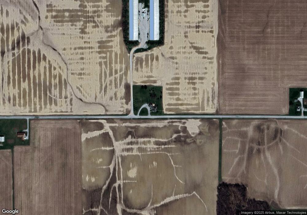
Map
Nearby Homes
- 6936 N State Road 1
- 408 Ridge Ct
- TBD N State Road 1
- Harmony Plan at Crosswind Lakes
- Chatham Plan at Crosswind Lakes
- Aldridge Plan at Crosswind Lakes
- 313 Piper Ct
- 305 Piper Ct
- TBD 850 N
- 10221 Indiana 1
- 711 Sandalwood Dr
- 205 E Craig St
- 808 Heatherwood Ln
- 3703 E 1000 N
- 405 Morton Ln
- 705 Maxine Dr
- 411 Countryside Dr
- 705 Zurcher Ln
- 701 Egber St
- 618 Ingle Dr
Your Personal Tour Guide
Ask me questions while you tour the home.