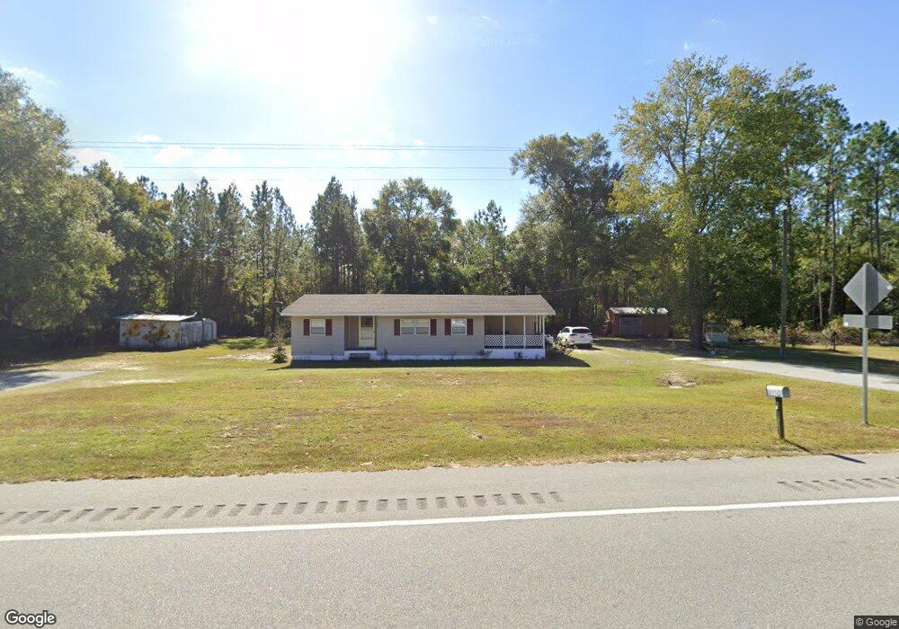
5385 Valdosta Hwy Waycross, GA 31503
Estimated Value: $111,045 - $199,000
--
Bed
1
Bath
1,210
Sq Ft
$130/Sq Ft
Est. Value
About This Home
This home is located at 5385 Valdosta Hwy, Waycross, GA 31503 and is currently estimated at $157,261, approximately $129 per square foot. 5385 Valdosta Hwy is a home located in Ware County with nearby schools including Ruskin Elementary School, Ware County Middle School, and Ware County High School.
Ownership History
Date
Name
Owned For
Owner Type
Purchase Details
Closed on
May 25, 2022
Sold by
Griffin Judy E
Bought by
Hodges Andrew T
Current Estimated Value
Purchase Details
Closed on
Sep 23, 2021
Sold by
Lee Debra Ann
Bought by
Griffin Judith E
Purchase Details
Closed on
Sep 11, 2007
Sold by
White Annie Mae
Bought by
Lee Debra Ann
Purchase Details
Closed on
Jan 15, 2004
Sold by
White Warren D and Annie Ma
Bought by
White Annie Ma
Purchase Details
Closed on
Mar 24, 1976
Sold by
Mcdaniel Roy R
Bought by
White Warren D and Annie Ma
Create a Home Valuation Report for This Property
The Home Valuation Report is an in-depth analysis detailing your home's value as well as a comparison with similar homes in the area
Home Values in the Area
Average Home Value in this Area
Purchase History
| Date | Buyer | Sale Price | Title Company |
|---|---|---|---|
| Hodges Andrew T | -- | -- | |
| Griffin Judith E | -- | -- | |
| Lee Debra Ann | -- | -- | |
| White Annie Ma | -- | -- | |
| White Warren D | $4,800 | -- | |
| White Warren Desso | $4,800 | -- |
Source: Public Records
Tax History Compared to Growth
Tax History
| Year | Tax Paid | Tax Assessment Tax Assessment Total Assessment is a certain percentage of the fair market value that is determined by local assessors to be the total taxable value of land and additions on the property. | Land | Improvement |
|---|---|---|---|---|
| 2024 | $145 | $42,584 | $1,152 | $41,432 |
| 2023 | $148 | $27,234 | $1,072 | $26,162 |
| 2022 | $786 | $27,234 | $1,072 | $26,162 |
| 2021 | $308 | $9,831 | $824 | $9,007 |
| 2020 | $299 | $9,439 | $824 | $8,615 |
| 2019 | $293 | $9,048 | $824 | $8,224 |
| 2018 | $217 | $8,656 | $824 | $7,832 |
| 2017 | $217 | $8,656 | $824 | $7,832 |
| 2016 | $217 | $8,656 | $824 | $7,832 |
| 2015 | $225 | $8,840 | $1,008 | $7,832 |
| 2014 | $238 | $9,464 | $1,632 | $7,832 |
| 2013 | -- | $8,498 | $666 | $7,832 |
Source: Public Records
Map
Nearby Homes
- 0 Fire Tower Rd
- 0 (Lot 3) Corbitt Rd
- 0 (Lot 2) Corbitt Rd
- 0 (Lot 6) Corbitt Rd
- Lot 4 Henderson Dr
- Lot 8 Stovall Ln
- 4446 S Manor Millwood
- 4108 Buck Griffin Rd
- 121 Farms Edge Rd
- 465 Oe McDonald Rd
- 82 Old 122 Hwy E
- 0 Odum Rd
- 0 Perch Creek Trail Unit 10600480
- 3222 Bertran Trail
- 6176 Perch Creek Trail
- 1690 Smith Rd
- 1125 Barn Owl Ln
- 1602 Smith Rd
- 3207 Bertran Trail
- 0 Grey Hawk Rd