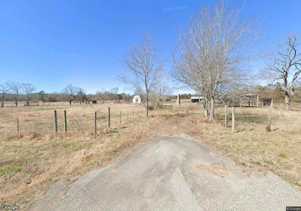
5386 Highway 9 W Clinton, AR 72031
Estimated Value: $140,391 - $245,000
3
Beds
1
Bath
1,200
Sq Ft
$152/Sq Ft
Est. Value
About This Home
This home is located at 5386 Highway 9 W, Clinton, AR 72031 and is currently estimated at $182,848, approximately $152 per square foot. 5386 Highway 9 W is a home located in Van Buren County with nearby schools including Clinton Elementary School, Clinton Junior High School, and Clinton High School.
Ownership History
Date
Name
Owned For
Owner Type
Purchase Details
Closed on
Sep 18, 2020
Sold by
Bailey Peggy and Bailey Kenneth
Bought by
Kirkland Michael
Current Estimated Value
Home Financials for this Owner
Home Financials are based on the most recent Mortgage that was taken out on this home.
Original Mortgage
$127,500
Interest Rate
2.9%
Mortgage Type
Commercial
Purchase Details
Closed on
Apr 25, 2002
Bought by
Overstreet
Purchase Details
Closed on
Dec 21, 1999
Bought by
Dunham
Purchase Details
Closed on
Mar 22, 1988
Bought by
Doyle
Create a Home Valuation Report for This Property
The Home Valuation Report is an in-depth analysis detailing your home's value as well as a comparison with similar homes in the area
Home Values in the Area
Average Home Value in this Area
Purchase History
| Date | Buyer | Sale Price | Title Company |
|---|---|---|---|
| Kirkland Michael | $150,000 | None Available | |
| Overstreet | $120,000 | -- | |
| Dunham | $98,000 | -- | |
| Doyle | -- | -- |
Source: Public Records
Mortgage History
| Date | Status | Borrower | Loan Amount |
|---|---|---|---|
| Closed | Kirkland Michael | $127,500 |
Source: Public Records
Tax History Compared to Growth
Tax History
| Year | Tax Paid | Tax Assessment Tax Assessment Total Assessment is a certain percentage of the fair market value that is determined by local assessors to be the total taxable value of land and additions on the property. | Land | Improvement |
|---|---|---|---|---|
| 2024 | $700 | $15,880 | $1,370 | $14,510 |
| 2023 | $745 | $15,880 | $1,370 | $14,510 |
| 2022 | $745 | $15,880 | $1,370 | $14,510 |
| 2021 | $745 | $15,880 | $1,370 | $14,510 |
| 2020 | $745 | $15,880 | $1,370 | $14,510 |
| 2019 | $708 | $15,030 | $1,300 | $13,730 |
| 2018 | $708 | $15,030 | $1,300 | $13,730 |
| 2017 | $601 | $13,750 | $1,300 | $12,450 |
| 2015 | -- | $13,750 | $1,080 | $12,670 |
| 2014 | -- | $13,750 | $1,080 | $12,670 |
| 2013 | -- | $13,750 | $1,080 | $12,670 |
Source: Public Records
Map
Nearby Homes
- 433 Cody Dr
- 625 Bens Cir
- 0 Round Spring Rd Unit 25030586
- Lot 13 Bens Cir
- 6939 Highway 336 W
- 7429 Hwy 336 W
- 198 Rue Dr
- 313 Bobbits Ln
- Tract 10 Harmony Mountain Rd
- Tract 8 Harmony Mountain Rd
- Tract 6 Harmony Mountain Rd
- Tract 5 Harmony Mountain Rd
- Tract 3 Harmony Mountain Rd
- Tract 2 Harmony Mountain Rd
- Tract 1 Harmony Mountain Rd
- 6880 Arkansas 9
- 000 Merryman Rd
- 6846 Highway 9
- 441 Holly Leaf Rd
- 00 Buena Vista Rd
- 5488 Highway 9 W
- 5453 Highway 9 W
- 5357 Highway 9 W
- 5499 Highway 9 W
- 5212 Highway 9 W
- 265 Hill Point Rd
- 000 Hill Point Rd
- 951 Hill Point Rd
- 671 Hill Point Rd
- 909 Hill Point Rd
- 5680 Highway 9 W
- 611 Hill Point Rd
- 1049 Hill Point Rd
- 989 Hill Point Rd
- 1087 Hill Point Rd
- 427 Hill Point Rd
- 5052 Highway 9 W
- 279 Buckeye Ln
- 498 Buckeye Ln
- 5757 Highway 9 W