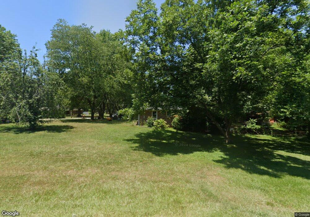
5386 Light Cir Norcross, GA 30071
Estimated Value: $382,000 - $400,698
4
Beds
2
Baths
1,678
Sq Ft
$234/Sq Ft
Est. Value
About This Home
This home is located at 5386 Light Cir, Norcross, GA 30071 and is currently estimated at $391,925, approximately $233 per square foot. 5386 Light Cir is a home located in Gwinnett County with nearby schools including Norcross Elementary School, Summerour Middle School, and Norcross High School.
Ownership History
Date
Name
Owned For
Owner Type
Purchase Details
Closed on
Oct 19, 2018
Sold by
Lay Gabriel Hall
Bought by
Hall Lay Gabriel and Lay Andrea M
Current Estimated Value
Purchase Details
Closed on
Sep 30, 2016
Sold by
King Graydon D
Bought by
Lay Gabriel Hall
Home Financials for this Owner
Home Financials are based on the most recent Mortgage that was taken out on this home.
Original Mortgage
$82,450
Interest Rate
3.46%
Purchase Details
Closed on
Sep 26, 2016
Sold by
Glenn Warren
Bought by
King Graydon Douglas
Home Financials for this Owner
Home Financials are based on the most recent Mortgage that was taken out on this home.
Original Mortgage
$82,450
Interest Rate
3.46%
Create a Home Valuation Report for This Property
The Home Valuation Report is an in-depth analysis detailing your home's value as well as a comparison with similar homes in the area
Home Values in the Area
Average Home Value in this Area
Purchase History
| Date | Buyer | Sale Price | Title Company |
|---|---|---|---|
| Hall Lay Gabriel | -- | -- | |
| Lay Gabriel Hall | $85,000 | -- | |
| King Graydon Douglas | $85,000 | -- |
Source: Public Records
Mortgage History
| Date | Status | Borrower | Loan Amount |
|---|---|---|---|
| Previous Owner | Lay Gabriel Hall | $82,450 |
Source: Public Records
Tax History Compared to Growth
Tax History
| Year | Tax Paid | Tax Assessment Tax Assessment Total Assessment is a certain percentage of the fair market value that is determined by local assessors to be the total taxable value of land and additions on the property. | Land | Improvement |
|---|---|---|---|---|
| 2025 | $4,072 | $150,600 | $25,840 | $124,760 |
| 2024 | $3,686 | $125,320 | $25,600 | $99,720 |
| 2023 | $3,686 | $125,320 | $25,600 | $99,720 |
| 2022 | $3,442 | $115,440 | $23,200 | $92,240 |
| 2021 | $2,765 | $80,800 | $18,400 | $62,400 |
| 2020 | $2,776 | $80,480 | $16,000 | $64,480 |
| 2019 | $2,701 | $80,480 | $16,000 | $64,480 |
| 2018 | $2,495 | $71,000 | $13,600 | $57,400 |
| 2016 | $2,403 | $58,440 | $11,200 | $47,240 |
| 2015 | $2,001 | $46,320 | $8,000 | $38,320 |
| 2014 | $1,816 | $40,880 | $8,000 | $32,880 |
Source: Public Records
Map
Nearby Homes
- 5639 Chatham Cir
- 608 Summer Place
- 622 Summer Place
- 2468 Whistle Stop Dr
- 2472 Westhill Ct
- 2472 Westhill Ct NW
- 5257 Westhill Dr
- 5357 Beaver Branch
- 5358 Beaver Branch
- 5364 Hickory Knoll
- 5167 Conductor Ct
- 5206 Westhill Dr NW
- 5479 Windy Creek Ln
- 5477 Windy Creek Ln
- 5596 Buford Hwy
- 63 Born St NW
- 53 Born St
- 2340 Beaver Ruin Rd Unit 26
- 2340 Beaver Ruin Rd Unit 41
- 2340 Beaver Ruin Rd
- 5377 Light Dr
- 5392 Light Cir
- 5366 Light Cir
- 5388 Light Dr
- 0 Davidson Dr NW Unit 3246221
- 604 Davidson Dr
- 606 Davidson Dr
- 586 Davidson Dr
- 5365 Light Cir
- 2580 Beaver Ruin Rd
- 552 Davidson Dr
- 597 Davidson Dr
- 2590 Beaver Ruin Rd
- 518 Davidson Dr
- 581 Davidson Dr
- 573 Davidson Dr
- 5345 Light Cir
- 2575 Beaver Ruin Rd
- 2595 Alston Trace
- 2595 Alston Trace Unit P