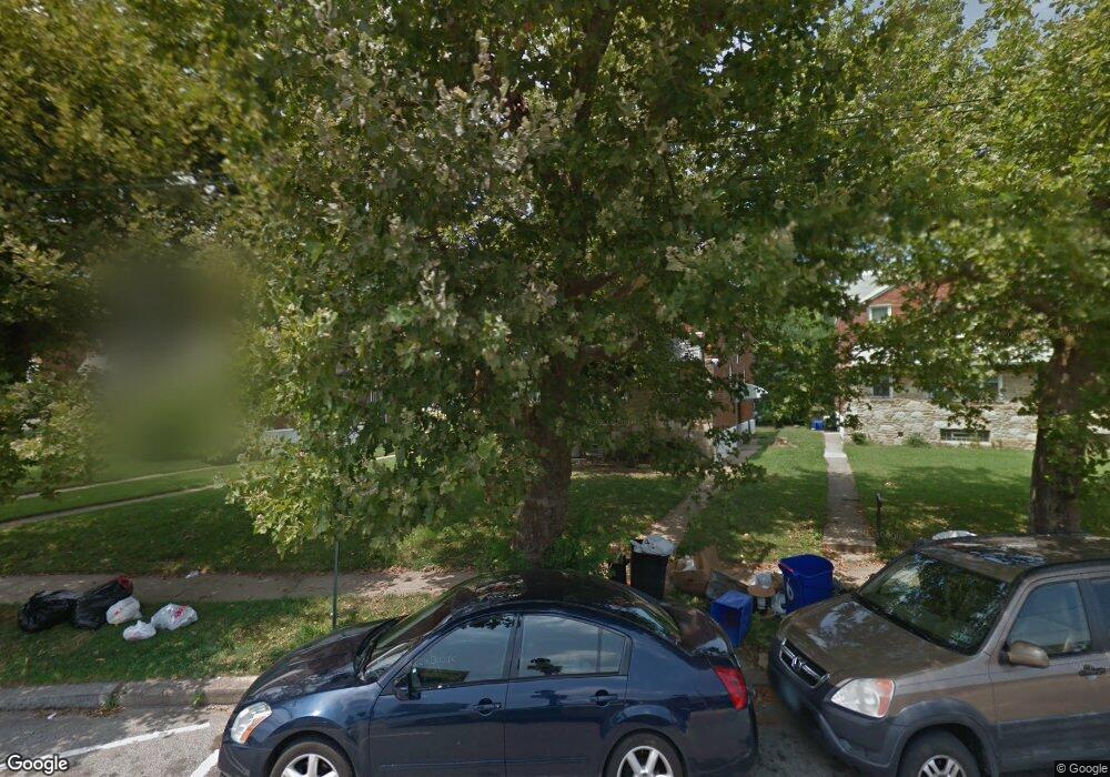
5386 Oxford Ave Philadelphia, PA 19124
Frankford NeighborhoodEstimated Value: $258,000 - $481,194
--
Bed
--
Bath
1,800
Sq Ft
$186/Sq Ft
Est. Value
About This Home
This home is located at 5386 Oxford Ave, Philadelphia, PA 19124 and is currently estimated at $334,398, approximately $185 per square foot. 5386 Oxford Ave is a home located in Philadelphia County with nearby schools including Frankford High School, The Philadelphia Charter School for the Arts & Sciences, and St Martin Of Tours Catholic School.
Ownership History
Date
Name
Owned For
Owner Type
Purchase Details
Closed on
Mar 23, 2012
Sold by
Chacko Oommen
Bought by
Chacko Oommen and Chacko Lena
Current Estimated Value
Home Financials for this Owner
Home Financials are based on the most recent Mortgage that was taken out on this home.
Original Mortgage
$100,000
Outstanding Balance
$12,139
Interest Rate
3.91%
Mortgage Type
Commercial
Estimated Equity
$322,259
Purchase Details
Closed on
Apr 15, 2003
Sold by
Delarosa Claire E
Bought by
Chacko Oommen
Home Financials for this Owner
Home Financials are based on the most recent Mortgage that was taken out on this home.
Original Mortgage
$104,000
Interest Rate
5.82%
Mortgage Type
Commercial
Create a Home Valuation Report for This Property
The Home Valuation Report is an in-depth analysis detailing your home's value as well as a comparison with similar homes in the area
Home Values in the Area
Average Home Value in this Area
Purchase History
| Date | Buyer | Sale Price | Title Company |
|---|---|---|---|
| Chacko Oommen | -- | Old Republic National Title | |
| Chacko Oommen | $130,000 | Lawyers Title Insurance Corp |
Source: Public Records
Mortgage History
| Date | Status | Borrower | Loan Amount |
|---|---|---|---|
| Open | Chacko Oommen | $100,000 | |
| Closed | Chacko Oommen | $104,000 |
Source: Public Records
Tax History Compared to Growth
Tax History
| Year | Tax Paid | Tax Assessment Tax Assessment Total Assessment is a certain percentage of the fair market value that is determined by local assessors to be the total taxable value of land and additions on the property. | Land | Improvement |
|---|---|---|---|---|
| 2026 | $2,545 | $295,800 | $59,160 | $236,640 |
| 2025 | $2,545 | $295,800 | $59,160 | $236,640 |
| 2024 | $2,545 | $295,800 | $59,160 | $236,640 |
| 2023 | $2,545 | $181,800 | $36,300 | $145,500 |
| 2022 | $1,961 | $181,800 | $36,300 | $145,500 |
| 2021 | $1,961 | $0 | $0 | $0 |
| 2020 | $1,961 | $0 | $0 | $0 |
| 2019 | $1,881 | $0 | $0 | $0 |
| 2018 | $1,831 | $0 | $0 | $0 |
| 2017 | $1,831 | $0 | $0 | $0 |
| 2016 | $1,831 | $0 | $0 | $0 |
| 2015 | $1,753 | $0 | $0 | $0 |
| 2014 | -- | $130,800 | $65,229 | $65,571 |
| 2012 | -- | $26,528 | $3,663 | $22,865 |
Source: Public Records
Map
Nearby Homes
- 1048 Bridge St
- 5661 Miriam Rd
- 5659 Miriam Rd
- 1137 Bridge St
- 5640 Miriam Rd
- 996 Anchor St
- 991 Carver St
- 1209 E Sanger St
- 1431 Rosalie St
- 972 Bridge St
- 5902 E Roosevelt Blvd
- 1225 E Cheltenham Ave
- 5347 Sylvester St
- 1244 E Sanger St
- 1211 E Cheltenham Ave
- 934 Brill St
- 5505 Loretto Ave
- 1204 Pratt St
- 5900 Loretto Ave
- 1218 Pratt St
- 5388 Oxford Ave Unit 1ST FLOOR
- 5384 Oxford Ave
- 5318 Rutland St
- 5390 Oxford Ave
- 5316 Rutland St
- 5392 Oxford Ave
- 5314 Rutland St
- 5394 Oxford Ave
- 5321 Castor Ave
- 5312 Rutland St
- 5325 Castor Ave
- 5396 Oxford Ave
- 5323 Castor Ave
- 5327 Castor Ave
- 5319 Castor Ave
- 5329 Castor Ave
- 5315 Castor Ave
- 5398 Oxford Ave
- 5331 Castor Ave
- 5313 Castor Ave