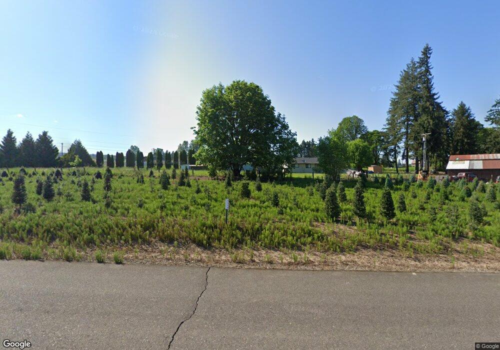
53879 Mckay Dr Scappoose, OR 97056
Estimated Value: $422,846
4
Beds
2
Baths
1,680
Sq Ft
$252/Sq Ft
Est. Value
About This Home
This home is located at 53879 Mckay Dr, Scappoose, OR 97056 and is currently estimated at $422,846, approximately $251 per square foot. 53879 Mckay Dr is a home located in Columbia County with nearby schools including Scappoose High School, South Columbia Family School, and Scappoose Adventist School.
Ownership History
Date
Name
Owned For
Owner Type
Purchase Details
Closed on
Dec 11, 2023
Sold by
Roth Carl Michael
Bought by
Cm Roth Trust and Roth
Current Estimated Value
Purchase Details
Closed on
Nov 23, 2011
Sold by
Fannie Mae
Bought by
Roth Carl Michael
Home Financials for this Owner
Home Financials are based on the most recent Mortgage that was taken out on this home.
Original Mortgage
$92,000
Interest Rate
4.06%
Mortgage Type
New Conventional
Create a Home Valuation Report for This Property
The Home Valuation Report is an in-depth analysis detailing your home's value as well as a comparison with similar homes in the area
Home Values in the Area
Average Home Value in this Area
Purchase History
| Date | Buyer | Sale Price | Title Company |
|---|---|---|---|
| Cm Roth Trust | -- | None Listed On Document | |
| Roth Carl Michael | $115,000 | Ticor Title |
Source: Public Records
Mortgage History
| Date | Status | Borrower | Loan Amount |
|---|---|---|---|
| Previous Owner | Roth Carl Michael | $92,000 |
Source: Public Records
Tax History Compared to Growth
Tax History
| Year | Tax Paid | Tax Assessment Tax Assessment Total Assessment is a certain percentage of the fair market value that is determined by local assessors to be the total taxable value of land and additions on the property. | Land | Improvement |
|---|---|---|---|---|
| 2025 | $2,897 | $218,810 | $117,760 | $101,050 |
| 2024 | $2,817 | $212,440 | $114,330 | $98,110 |
| 2023 | $2,805 | $206,260 | $120,520 | $85,740 |
| 2022 | $2,678 | $200,260 | $116,330 | $83,930 |
| 2021 | $2,602 | $194,430 | $108,170 | $86,260 |
| 2020 | $2,386 | $188,770 | $99,490 | $89,280 |
| 2019 | $2,325 | $183,280 | $95,310 | $87,970 |
| 2016 | $2,209 | $167,740 | $107,410 | $60,330 |
| 2015 | $2,085 | $162,860 | $90,300 | $72,560 |
| 2014 | $2,036 | $158,120 | $73,820 | $84,300 |
Source: Public Records
Map
Nearby Homes
- 53194 Columbia River Hwy
- 33062 Bellcrest Rd
- 52866 NE 2nd St
- 33374 Wickstrom Dr
- 33399 NW Ej Smith Rd
- 32952 NW Ridge Dr
- 54886 Fullerton Rd
- 32904 NW View Terrace Place
- 55051 Fullerton Rd
- 51587 SE Oak St
- 51425 SE Oak St Unit 65
- 52256 SE 6th Ct
- 52269 SE Tyler St
- 52238 Teakwood Dr
- 52171 Casswell Dr
- 32898 SW Keys Landing Way
- 52407 NE 14th St
- 52144 SE 8th St
- 32005 Scappoose Vernonia Hwy
- 32373 Jp West Rd
- 53877 Mckay Dr
- 53831 Mckay Dr
- 53706 Mckay Dr Unit 53708
- 33643 Jeffries Rd
- 53752 Mckay Dr
- 53805 Columbia River Hwy
- 53708 Mckay Dr
- 53755 Columbia River Hwy
- 53901 Arbor Way
- 53698 Mckay Dr
- 53680 Mckay Dr
- 33703 Jeffries Rd
- 53985 Columbia River Hwy
- 53977 Mckay Dr Unit 54047
- 54047 W Lane Rd
- 53683 Columbia River Hwy
- 53717 Columbia River Hwy
- 53635 Columbia River Hwy
- 53612 Mckay Dr Unit 53608
- 33376 Wikstrom Dr