Estimated Value: $176,000 - $244,000
3
Beds
2
Baths
1,232
Sq Ft
$177/Sq Ft
Est. Value
About This Home
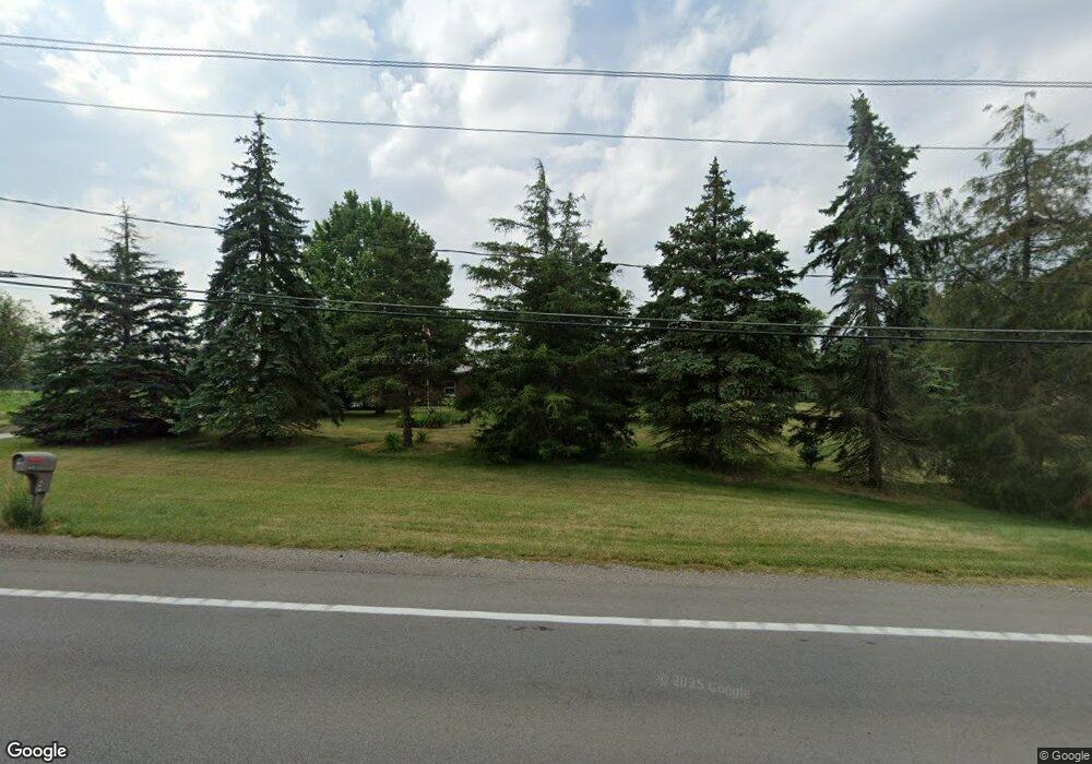
This home is located at 5389 Us Highway 20a, Delta, OH 43515 and is currently estimated at $218,096, approximately $177 per square foot. 5389 Us Highway 20a is a home located in Fulton County with nearby schools including Delta Elementary School, Pike-Delta-York Middle School, and Pike-Delta-York High School.
Ownership History
Date
Name
Owned For
Owner Type
Purchase Details
Closed on
Nov 28, 2018
Sold by
Smith Sharon L
Bought by
Smith Scott J and Smith Susan D
Current Estimated Value
Home Financials for this Owner
Home Financials are based on the most recent Mortgage that was taken out on this home.
Original Mortgage
$132,800
Outstanding Balance
$117,000
Interest Rate
4.8%
Mortgage Type
Purchase Money Mortgage
Estimated Equity
$101,096
Purchase Details
Closed on
Nov 7, 2006
Sold by
Zielinski Rita B
Bought by
Smith Sharon L and Van Pelt Steve J
Home Financials for this Owner
Home Financials are based on the most recent Mortgage that was taken out on this home.
Original Mortgage
$50,000
Interest Rate
6.38%
Mortgage Type
Purchase Money Mortgage
Create a Home Valuation Report for This Property
The Home Valuation Report is an in-depth analysis detailing your home's value as well as a comparison with similar homes in the area
Home Values in the Area
Average Home Value in this Area
Purchase History
| Date | Buyer | Sale Price | Title Company |
|---|---|---|---|
| Smith Scott J | $166,000 | None Available | |
| Smith Sharon L | -- | None Available |
Source: Public Records
Mortgage History
| Date | Status | Borrower | Loan Amount |
|---|---|---|---|
| Open | Smith Scott J | $132,800 | |
| Previous Owner | Smith Sharon L | $50,000 |
Source: Public Records
Tax History Compared to Growth
Tax History
| Year | Tax Paid | Tax Assessment Tax Assessment Total Assessment is a certain percentage of the fair market value that is determined by local assessors to be the total taxable value of land and additions on the property. | Land | Improvement |
|---|---|---|---|---|
| 2024 | $2,930 | $73,190 | $10,260 | $62,930 |
| 2023 | $2,930 | $73,190 | $10,260 | $62,930 |
| 2022 | $2,799 | $55,160 | $8,540 | $46,620 |
| 2021 | $2,848 | $55,160 | $8,540 | $46,620 |
| 2020 | $2,889 | $55,160 | $8,540 | $46,620 |
| 2019 | $2,102 | $41,730 | $8,160 | $33,570 |
| 2018 | $1,553 | $41,730 | $8,160 | $33,570 |
| 2017 | $1,482 | $40,150 | $8,160 | $31,990 |
| 2016 | $1,472 | $38,020 | $8,160 | $29,860 |
| 2015 | $1,401 | $38,020 | $8,160 | $29,860 |
| 2014 | $1,412 | $38,020 | $8,160 | $29,860 |
| 2013 | $1,576 | $41,340 | $8,680 | $32,660 |
Source: Public Records
Map
Nearby Homes
- 929 Linwood Ave
- 11 Meadow Lane Dr
- 703 Linwood Ave
- 701 Palmwood St
- 518 Providence St
- 600 Fernwood St
- 305 Mckinley St
- 421 Providence St
- 413 Fernwood St
- 500 Sandalwood Ln
- 308 Monroe St
- 434 Monroe St
- 452 Monroe St
- 6854 County Road 3
- 3121 County Road Ef
- 5390 County Road D
- 7893 County Road 2
- 4265 County Road 3
- 2076 County Rd E
- 9163 County Road F
- 5388 Us Highway 20a
- 5320 Us Highway 20a
- 0 Co Road 5-2 County Rd Unit 6044766
- 0 Co Road 5-2 County Rd Unit 6044765
- 0 Co Road 5-2 County Rd Unit 6044763
- 5529 Us Highway 20a
- 5270 Us Highway 20a
- 6931 County Road E Unit 5-2
- 5332 US Highway 20a
- 7053 Co Rd 5-2
- 7053 County Road 5 2 Unit 4
- 5181 Us Highway 20a
- 5618 Us Highway 20a
- 5618 Us Highway 20a
- 5618 U S 20a
- 5100 U S 20 Alternate
- 5720 Us Highway 20a
- 7330 County Road 5 2
- 5750 County Road G
- 5810 County Road G Unit 6-3