Estimated Value: $242,000 - $331,000
2
Beds
1
Bath
2,040
Sq Ft
$132/Sq Ft
Est. Value
About This Home
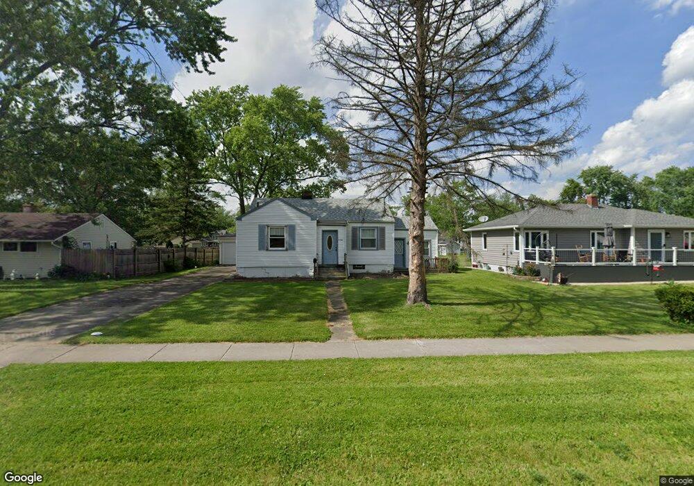
This home is located at 539 213th St, Dyer, IN 46311 and is currently estimated at $270,029, approximately $132 per square foot. 539 213th St is a home located in Lake County with nearby schools including Protsman Elementary School, Kahler Middle School, and Lake Central High School.
Ownership History
Date
Name
Owned For
Owner Type
Purchase Details
Closed on
Feb 25, 2005
Sold by
Rostankovski John
Bought by
Szpejnowski Pamela
Current Estimated Value
Home Financials for this Owner
Home Financials are based on the most recent Mortgage that was taken out on this home.
Original Mortgage
$123,400
Outstanding Balance
$61,663
Interest Rate
5.8%
Mortgage Type
Fannie Mae Freddie Mac
Estimated Equity
$208,366
Create a Home Valuation Report for This Property
The Home Valuation Report is an in-depth analysis detailing your home's value as well as a comparison with similar homes in the area
Home Values in the Area
Average Home Value in this Area
Purchase History
| Date | Buyer | Sale Price | Title Company |
|---|---|---|---|
| Szpejnowski Pamela | -- | Community Title Company |
Source: Public Records
Mortgage History
| Date | Status | Borrower | Loan Amount |
|---|---|---|---|
| Open | Szpejnowski Pamela | $123,400 |
Source: Public Records
Tax History
| Year | Tax Paid | Tax Assessment Tax Assessment Total Assessment is a certain percentage of the fair market value that is determined by local assessors to be the total taxable value of land and additions on the property. | Land | Improvement |
|---|---|---|---|---|
| 2025 | $2,290 | $250,500 | $73,200 | $177,300 |
| 2024 | $5,587 | $221,000 | $73,200 | $147,800 |
| 2023 | $2,273 | $219,700 | $73,200 | $146,500 |
| 2022 | $2,273 | $202,300 | $73,200 | $129,100 |
| 2021 | $1,980 | $185,600 | $73,200 | $112,400 |
| 2020 | $2,084 | $188,400 | $59,300 | $129,100 |
| 2019 | $1,721 | $158,400 | $26,300 | $132,100 |
| 2018 | $1,385 | $139,700 | $26,300 | $113,400 |
| 2017 | $1,221 | $134,600 | $26,300 | $108,300 |
| 2016 | $1,233 | $134,100 | $26,300 | $107,800 |
| 2014 | $1,104 | $130,800 | $26,300 | $104,500 |
| 2013 | $1,091 | $128,600 | $26,300 | $102,300 |
Source: Public Records
Map
Nearby Homes
- 601 Berkley Dr
- 1416 Sheffield Ave
- 1341 Capri Ln
- 917 Perthshire Ln
- 510 Belden Dr
- T-1415 Adler Plan at Parkside
- 6208 Lakewood Ave
- T-1647 Wren Plan at Parkside
- 824 Polk Ave
- 370 Linda Ln
- 901 Robin Ct
- 458 Alanna Ln Unit 458
- 483 Linda Ln Unit 483
- 431 Alanna Ln
- 297 Pattie Ln
- 1025 Windsor Ln
- 24 Chillon Dr
- 54 Bernina Ct
- 287 Geneva Dr Unit 287
- 828 Royal Dublin Ln
Your Personal Tour Guide
Ask me questions while you tour the home.