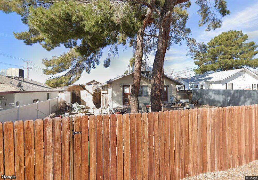
539 Avenue L Boulder City, NV 89005
Estimated Value: $342,000 - $407,000
3
Beds
1
Bath
1,092
Sq Ft
$343/Sq Ft
Est. Value
About This Home
This home is located at 539 Avenue L, Boulder City, NV 89005 and is currently estimated at $374,143, approximately $342 per square foot. 539 Avenue L is a home with nearby schools including Andrew Mitchell Elementary School, Martha P. King Elementary School, and Elton M. & Madelaine E. Garrett Junior High School.
Ownership History
Date
Name
Owned For
Owner Type
Purchase Details
Closed on
Dec 9, 2015
Sold by
Mcroberts Daniel H and Mcroberts Janice M
Bought by
Ocasio Leslie D
Current Estimated Value
Home Financials for this Owner
Home Financials are based on the most recent Mortgage that was taken out on this home.
Original Mortgage
$136,472
Outstanding Balance
$107,492
Interest Rate
3.75%
Mortgage Type
FHA
Estimated Equity
$266,651
Purchase Details
Closed on
Dec 20, 1993
Sold by
Mcroberts Daniel B and Mcroberts Janice H
Bought by
Mcroberts Daniel B and Mcroberts Janice H
Home Financials for this Owner
Home Financials are based on the most recent Mortgage that was taken out on this home.
Original Mortgage
$67,000
Interest Rate
7.2%
Create a Home Valuation Report for This Property
The Home Valuation Report is an in-depth analysis detailing your home's value as well as a comparison with similar homes in the area
Home Values in the Area
Average Home Value in this Area
Purchase History
| Date | Buyer | Sale Price | Title Company |
|---|---|---|---|
| Ocasio Leslie D | $139,000 | Nevada Title Las Vegas | |
| Mcroberts Daniel B | -- | Nevada Title Company |
Source: Public Records
Mortgage History
| Date | Status | Borrower | Loan Amount |
|---|---|---|---|
| Open | Ocasio Leslie D | $136,472 | |
| Previous Owner | Mcroberts Daniel B | $67,000 |
Source: Public Records
Tax History Compared to Growth
Tax History
| Year | Tax Paid | Tax Assessment Tax Assessment Total Assessment is a certain percentage of the fair market value that is determined by local assessors to be the total taxable value of land and additions on the property. | Land | Improvement |
|---|---|---|---|---|
| 2025 | $816 | $60,457 | $46,550 | $13,907 |
| 2024 | $792 | $60,457 | $46,550 | $13,907 |
| 2023 | $639 | $47,513 | $34,913 | $12,600 |
| 2022 | $769 | $44,466 | $33,250 | $11,216 |
| 2021 | $747 | $40,900 | $30,450 | $10,450 |
| 2020 | $725 | $38,878 | $28,700 | $10,178 |
| 2019 | $716 | $36,020 | $26,250 | $9,770 |
| 2018 | $683 | $31,920 | $22,750 | $9,170 |
| 2017 | $786 | $30,087 | $21,000 | $9,087 |
| 2016 | $639 | $24,618 | $15,750 | $8,868 |
| 2015 | $638 | $24,338 | $15,750 | $8,588 |
| 2014 | $627 | $23,529 | $15,750 | $7,779 |
Source: Public Records
Map
Nearby Homes
- 394 Arizona St
- Windsor Plan at Heritage Peak
- Somerset Plan at Heritage Peak
- 650 Arizona St
- 511 Northridge Dr
- 639 I Ave
- 524 5th St
- 620 Avenue H
- 531 New Mexico St
- 624 Avenue H
- 517 5th St
- 701 Park Place
- 627 Don Vincente Dr
- 633 5th St
- 639 F
- 557 6th St
- 1095 Endora Way
- 617 6th St
- 1104 Endora Way
- 623 California Ave