539 Breezy Cir Banning, CA 92220
Estimated Value: $354,000 - $486,000
About This Home
This home is located at 539 Breezy Cir, Banning, CA 92220 and is currently estimated at $391,390, approximately $265 per square foot. 539 Breezy Cir is a home located in Riverside County with nearby schools including Banning High School, Young Scholar Education Center, and Calvary Christian School.
Ownership History
We collect this data history from publicly available records. To have your information removed, we recommend requesting removal directly through your county’s website.
Purchase Details
Purchase Details
Home Financials for this Owner
Home Financials are based on the most recent Mortgage that was taken out on this home.Home Values in the Area
Average Home Value in this Area
Purchase History
We collect this data history from publicly available records. To have your information removed, we recommend requesting removal directly through your county’s website.
| Date | Buyer | Sale Price | Title Company |
|---|---|---|---|
| -- | None Listed On Document | ||
| $178,500 | First American Title Co |
Mortgage History
We collect this data history from publicly available records. To have your information removed, we recommend requesting removal directly through your county’s website.
| Date | Status | Borrower | Loan Amount |
|---|---|---|---|
| Closed | $189,500 | ||
| Closed | $183,750 | ||
| Closed | $164,109 | ||
| Closed | $114,379 | ||
| Closed | $248,000 | ||
| Closed | $62,000 | ||
| Closed | $239,000 | ||
| Closed | $16,000 | ||
| Closed | $220,000 | ||
| Closed | $142,500 |
Tax History
We collect this data history from publicly available records. To have your information removed, we recommend requesting removal directly through your county’s website.
| Year | Tax Paid | Tax Assessment Tax Assessment Total Assessment is a certain percentage of the fair market value that is determined by local assessors to be the total taxable value of land and additions on the property. | Land | Improvement |
|---|---|---|---|---|
| 2025 | $3,425 | $256,972 | $49,750 | $207,222 |
| 2023 | $3,425 | $246,995 | $47,819 | $199,176 |
| 2022 | $3,347 | $242,153 | $46,882 | $195,271 |
| 2021 | $3,281 | $237,406 | $45,963 | $191,443 |
| 2020 | $3,252 | $234,972 | $45,492 | $189,480 |
| 2019 | $3,199 | $230,365 | $44,600 | $185,765 |
| 2018 | $3,177 | $225,849 | $43,727 | $182,122 |
| 2017 | $2,974 | $211,000 | $41,000 | $170,000 |
| 2016 | $2,302 | $169,000 | $33,000 | $136,000 |
| 2015 | $2,247 | $165,000 | $32,000 | $133,000 |
| 2014 | $2,192 | $159,000 | $31,000 | $128,000 |
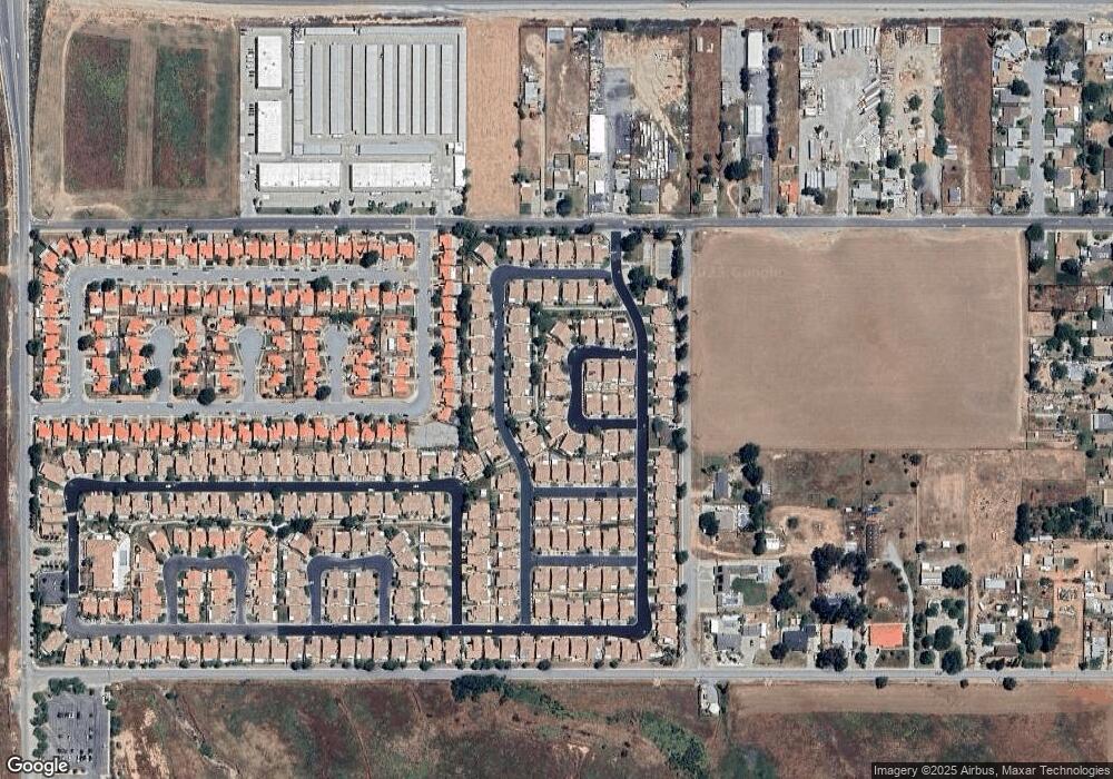
Map
- 469 Autumn Way
- 2857 Summer Set Cir
- 753 Amber Sky St
- 2906 Summer Set Cir
- 768 Moonlight Ct
- 733 Daybreak Way
- 612 S 22nd St
- 2879 W Williams St
- 1943 W Ramsey St
- 2735 W George St
- 0 N Sunset Ave
- 3800 W Jacinto View Rd
- 3820 W Jacinto View Rd Unit A
- 2200 W Wilson St Unit 82
- 2200 W Wilson St Unit 154
- 2200 W Wilson St Unit 178
- 2200 W Wilson St Unit 69
- 2200 W Wilson St Unit 78
- 3864 W Ramsey St
- 3024 W Wilson St
Ask me questions while you tour the home.