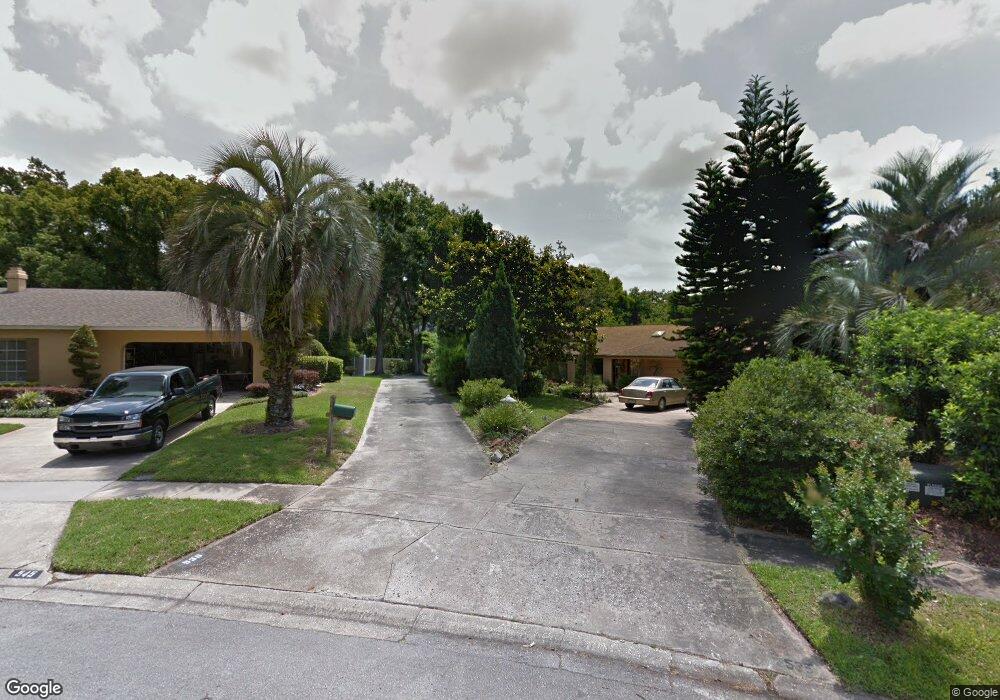
539 Brookside Cir Maitland, FL 32751
Estimated Value: $542,314 - $731,000
3
Beds
4
Baths
2,460
Sq Ft
$249/Sq Ft
Est. Value
About This Home
This home is located at 539 Brookside Cir, Maitland, FL 32751 and is currently estimated at $612,079, approximately $248 per square foot. 539 Brookside Cir is a home located in Seminole County with nearby schools including English Estates Elementary School, South Seminole Academy, and Lake Howell High School.
Ownership History
Date
Name
Owned For
Owner Type
Purchase Details
Closed on
Jan 1, 1993
Bought by
Amend Paul M and Amend Jeanne W
Current Estimated Value
Purchase Details
Closed on
Feb 1, 1984
Bought by
Amend Paul M and Amend Jeanne W
Purchase Details
Closed on
Mar 1, 1983
Bought by
Amend Paul M and Amend Jeanne W
Purchase Details
Closed on
Feb 1, 1979
Bought by
Amend Paul M and Amend Jeanne W
Purchase Details
Closed on
Jan 1, 1977
Bought by
Amend Paul M and Amend Jeanne W
Create a Home Valuation Report for This Property
The Home Valuation Report is an in-depth analysis detailing your home's value as well as a comparison with similar homes in the area
Purchase History
| Date | Buyer | Sale Price | Title Company |
|---|---|---|---|
| Amend Paul M | $137,000 | -- | |
| Amend Paul M | $115,000 | -- | |
| Amend Paul M | $25,000 | -- | |
| Amend Paul M | $16,500 | -- | |
| Amend Paul M | $10,000 | -- |
Source: Public Records
Tax History
| Year | Tax Paid | Tax Assessment Tax Assessment Total Assessment is a certain percentage of the fair market value that is determined by local assessors to be the total taxable value of land and additions on the property. | Land | Improvement |
|---|---|---|---|---|
| 2025 | $3,064 | $231,379 | -- | -- |
| 2024 | $2,870 | $224,858 | -- | -- |
| 2023 | $2,780 | $218,309 | $0 | $0 |
| 2021 | $2,636 | $205,777 | $0 | $0 |
| 2020 | $2,612 | $202,936 | $0 | $0 |
| 2019 | $2,585 | $198,373 | $0 | $0 |
| 2018 | $2,561 | $194,674 | $0 | $0 |
| 2017 | $2,544 | $190,670 | $0 | $0 |
| 2016 | $2,592 | $188,055 | $0 | $0 |
| 2015 | $2,278 | $185,450 | $0 | $0 |
| 2014 | $2,278 | $183,978 | $0 | $0 |
Source: Public Records
Map
Nearby Homes
- 1994 Kenaston Rd Unit 1994
- 572 Green Meadow Ct
- 2344 Sierra Ln
- 623 Green Meadow Ave
- 0 Lake Howell Rd Unit MFRO6346556
- 2642 Brookside Ct
- 2514 Tuscarora Trail
- 480 Banyon Tree Cir Unit 102
- 480 Banyon Tree Cir Unit 100
- 2338 Tuscarora Trail
- 778 Lake Howell Rd
- 2517 Caper Ln Unit 205
- 2423 Branch Way Unit 207
- 448 Banyon Tree Cir Unit 206
- 416 Banyon Tree Cir Unit 108
- 302 Lewfield Cir Unit 302
- 102 Lewfield Cir Unit 102
- 296 Lewfield Cir
- 1000 Kewannee Trail
- 151 Lewfield Cir Unit 4
- 535 Brookside Cir
- 545 Brookside Cir
- 511 Brookside Cir
- 555 Brookside Cir
- 556 Brookwood Ln
- 537 Brookwood Ln
- 509 Brookside Cir
- 544 Brookside Cir
- 565 Brookside Cir
- 547 Brookwood Ln
- 566 Brookwood Ln
- 1982 Kenaston Rd
- 1980 Kenaston Rd
- 1984 Kenaston Rd Unit 108
- 1986 Kenaston Rd Unit 107
- 1986 Kenaston Rd
- 1988 Kenaston Rd
- 1990 Kenaston Rd Unit 105
- 1992 Kenaston Rd
- 534 Brookside Cir
Your Personal Tour Guide
Ask me questions while you tour the home.