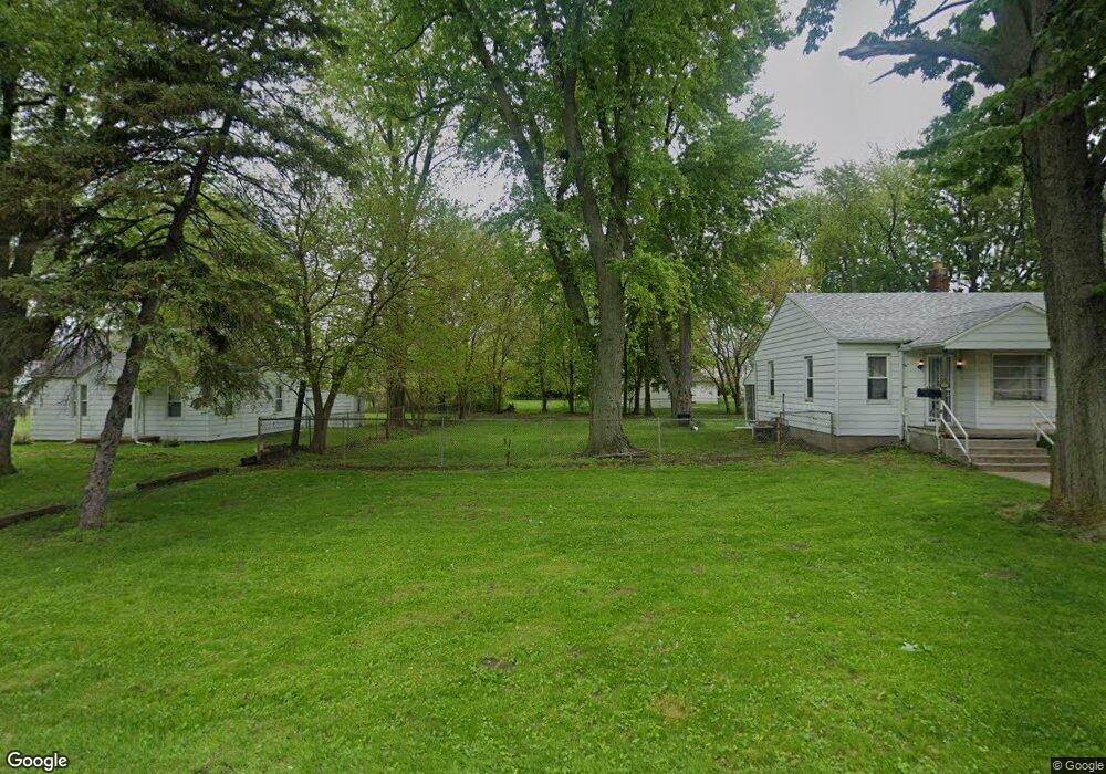
539 Brysen Ave Toledo, OH 43609
Southside NeighborhoodEstimated Value: $82,000
--
Bed
--
Bath
--
Sq Ft
6,490
Sq Ft Lot
About This Home
This home is located at 539 Brysen Ave, Toledo, OH 43609 and is currently estimated at $82,000. 539 Brysen Ave is a home located in Lucas County with nearby schools including Reynolds Elementary School, Rogers High School, and Explorers Academy of Science and Technology.
Ownership History
Date
Name
Owned For
Owner Type
Purchase Details
Closed on
Oct 17, 2011
Sold by
Curry C Douglas and Curry Dorothy Mae
Bought by
Kb Solid Ground Properties Llc
Current Estimated Value
Purchase Details
Closed on
Aug 16, 2001
Sold by
Tower Patsy J
Bought by
Dandino Patrick A
Home Financials for this Owner
Home Financials are based on the most recent Mortgage that was taken out on this home.
Original Mortgage
$64,490
Interest Rate
7.11%
Mortgage Type
FHA
Create a Home Valuation Report for This Property
The Home Valuation Report is an in-depth analysis detailing your home's value as well as a comparison with similar homes in the area
Home Values in the Area
Average Home Value in this Area
Purchase History
| Date | Buyer | Sale Price | Title Company |
|---|---|---|---|
| Kb Solid Ground Properties Llc | $190,000 | Portage Valley Title | |
| Dandino Patrick A | $65,000 | -- |
Source: Public Records
Mortgage History
| Date | Status | Borrower | Loan Amount |
|---|---|---|---|
| Previous Owner | Dandino Patrick A | $64,490 |
Source: Public Records
Tax History Compared to Growth
Tax History
| Year | Tax Paid | Tax Assessment Tax Assessment Total Assessment is a certain percentage of the fair market value that is determined by local assessors to be the total taxable value of land and additions on the property. | Land | Improvement |
|---|---|---|---|---|
| 2024 | $2,891 | $3,325 | $3,325 | -- |
| 2023 | $374 | $3,290 | $3,290 | $0 |
| 2022 | $359 | $3,290 | $3,290 | $0 |
| 2021 | $375 | $3,290 | $3,290 | $0 |
| 2020 | $392 | $2,730 | $2,730 | $0 |
| 2019 | $365 | $2,730 | $2,730 | $0 |
| 2018 | $470 | $2,730 | $2,730 | $0 |
| 2017 | $319 | $2,275 | $2,275 | $0 |
| 2016 | $344 | $6,500 | $6,500 | $0 |
| 2015 | $568 | $6,500 | $6,500 | $0 |
| 2014 | $147 | $2,280 | $2,280 | $0 |
| 2013 | $147 | $2,280 | $2,280 | $0 |
Source: Public Records
Map
Nearby Homes
- 546 Elmdale Rd
- 638 Foredale Ave
- 560 Williamsville Ave
- 728 Foredale Ave
- 2828 South Ave
- 552 Wyman St
- 710 Durango Dr
- 576 Bronx Dr
- 556 Apple Ave
- 1351 Bensch Dr
- 304 Mayberry St
- 2126 Airport Hwy
- 321 Mayberry St
- 620 Broer Ave
- 642 MacKow Dr
- 3546 Denise Dr
- 615 Cuthbert Rd
- 1302 E Beverly Hills Dr
- 440 Somerset St
- 732 Moran Ave
- 545 Brysen Ave
- 533 Brysen Ave
- 540 Elmdale Rd
- 555 Brysen Ave
- 534 Elmdale Rd
- 552 Elmdale Rd
- 528 Elmdale Rd
- 559 Brysen Ave
- 546 Brysen Ave
- 552 Brysen Ave
- 528 Brysen Ave
- 556 Brysen Ave
- 564 Elmdale Rd
- 560 Brysen Ave
- 603 Brysen Ave
- 564 Brysen Ave
- 602 Elmdale Rd
- 545 Foredale Ave
- 533 Foredale Ave
- 607 Brysen Ave