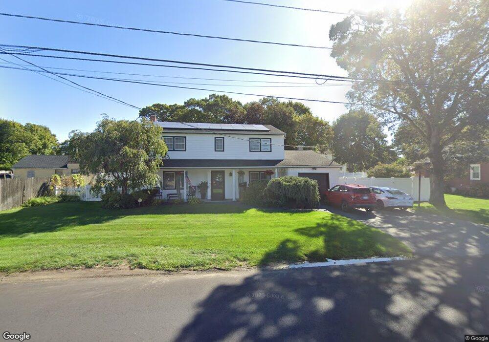
539 Carlls Path Deer Park, NY 11729
Deer Park NeighborhoodEstimated Value: $662,000 - $736,000
--
Bed
1
Bath
2,149
Sq Ft
$320/Sq Ft
Est. Value
About This Home
This home is located at 539 Carlls Path, Deer Park, NY 11729 and is currently estimated at $686,783, approximately $319 per square foot. 539 Carlls Path is a home located in Suffolk County with nearby schools including Robert Frost Middle School, Deer Park High School, and Upper Room Christian School.
Ownership History
Date
Name
Owned For
Owner Type
Purchase Details
Closed on
Jun 7, 2001
Sold by
Nazarian Michael and Nazarian Ellen
Bought by
Montanino Gerald and Montanino Maria
Current Estimated Value
Create a Home Valuation Report for This Property
The Home Valuation Report is an in-depth analysis detailing your home's value as well as a comparison with similar homes in the area
Home Values in the Area
Average Home Value in this Area
Purchase History
| Date | Buyer | Sale Price | Title Company |
|---|---|---|---|
| Montanino Gerald | $255,000 | Commonwealth Land Title Ins |
Source: Public Records
Tax History Compared to Growth
Tax History
| Year | Tax Paid | Tax Assessment Tax Assessment Total Assessment is a certain percentage of the fair market value that is determined by local assessors to be the total taxable value of land and additions on the property. | Land | Improvement |
|---|---|---|---|---|
| 2024 | $12,676 | $4,010 | $380 | $3,630 |
| 2023 | $12,676 | $4,010 | $380 | $3,630 |
| 2022 | $10,537 | $4,010 | $380 | $3,630 |
| 2021 | $10,537 | $4,010 | $380 | $3,630 |
| 2020 | $11,405 | $4,010 | $380 | $3,630 |
| 2019 | $11,405 | $0 | $0 | $0 |
| 2018 | $10,719 | $4,010 | $380 | $3,630 |
| 2017 | $10,719 | $4,010 | $380 | $3,630 |
| 2016 | $10,655 | $4,010 | $380 | $3,630 |
| 2015 | -- | $4,010 | $380 | $3,630 |
| 2014 | -- | $4,010 | $380 | $3,630 |
Source: Public Records
Map
Nearby Homes
- 11 Cayuga Ave
- 118 Wright Ave
- 207 Eastwood Ave
- 215 Eastwood Ave
- 467 Carlls Path
- 14 Osceola Ave
- 71 Irving Ave
- 123 Cayuga Ave
- 27 Leo Ln
- 640 Carlls Path
- 47 Prospect Place
- 11 Susan Ct
- 149 Osceola Ave
- 27 Taca Blvd
- 125 Burlington Ave
- 109 Westwood Ave
- 28 Glenda Dr
- 20 E 8th St
- 29 Oregon St
- 190 Burlington Ave
- 545 Carlls Path
- 533 Carlls Path
- 52 Livingston St
- 248 Liberty St
- 48 Livingston St
- 42 Livingston St
- 540 Carlls Path
- 240 Liberty St
- 58 Livingston St
- 538 Carlls Path
- 532 Carlls Path
- 234 Liberty St
- 551 Carlls Path
- 255 Liberty St
- 526 Carlls Path
- 137 Irving Ave
- 57 Livingston St
- 51 Livingston St
- 45 Livingston St
- 550 Carlls Path