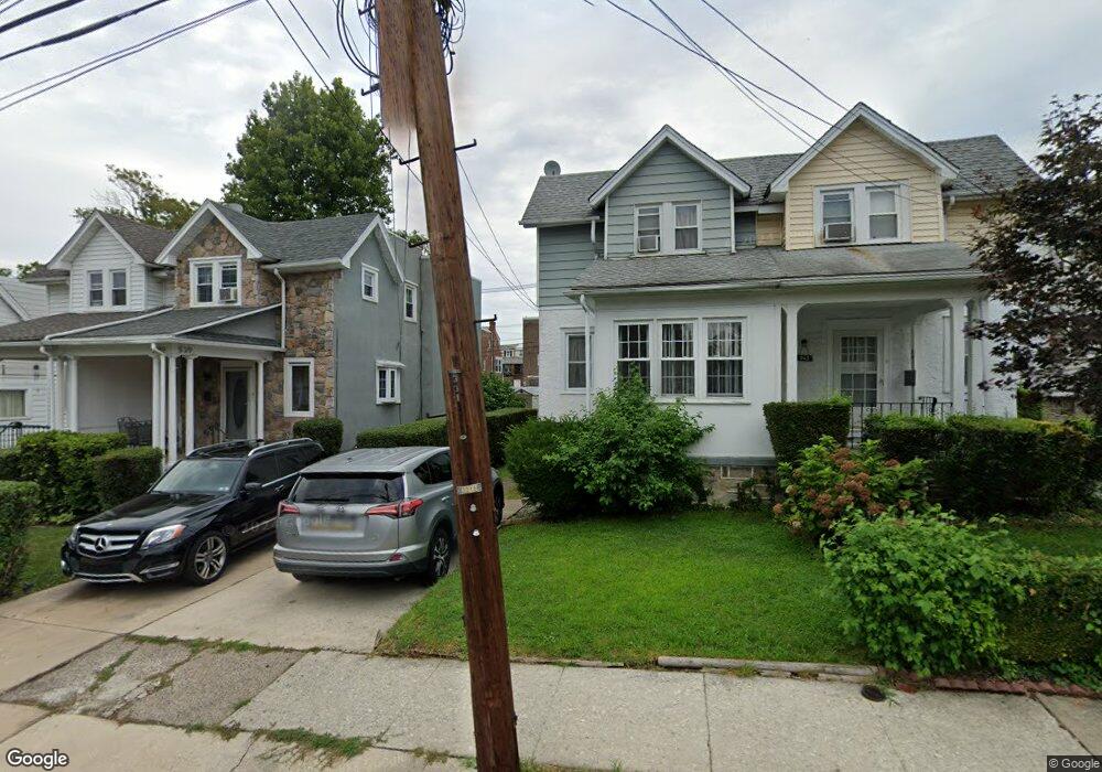
539 Cypress St Lansdowne, PA 19050
Estimated Value: $208,471 - $227,000
3
Beds
1
Bath
1,158
Sq Ft
$190/Sq Ft
Est. Value
About This Home
This home is located at 539 Cypress St, Lansdowne, PA 19050 and is currently estimated at $220,368, approximately $190 per square foot. 539 Cypress St is a home located in Delaware County with nearby schools including Evans Elementary School, Penn Wood Middle School, and Penn Wood High School - Cypress Street Campus.
Ownership History
Date
Name
Owned For
Owner Type
Purchase Details
Closed on
Oct 31, 1995
Sold by
Pintavalle Michael D and Pintavalle Carmella
Bought by
Dalton Brian N and Dalton Donna M
Current Estimated Value
Home Financials for this Owner
Home Financials are based on the most recent Mortgage that was taken out on this home.
Original Mortgage
$52,965
Outstanding Balance
$739
Interest Rate
7.58%
Mortgage Type
FHA
Estimated Equity
$219,629
Create a Home Valuation Report for This Property
The Home Valuation Report is an in-depth analysis detailing your home's value as well as a comparison with similar homes in the area
Home Values in the Area
Average Home Value in this Area
Purchase History
| Date | Buyer | Sale Price | Title Company |
|---|---|---|---|
| Dalton Brian N | $54,900 | -- |
Source: Public Records
Mortgage History
| Date | Status | Borrower | Loan Amount |
|---|---|---|---|
| Open | Dalton Brian N | $52,965 |
Source: Public Records
Tax History Compared to Growth
Tax History
| Year | Tax Paid | Tax Assessment Tax Assessment Total Assessment is a certain percentage of the fair market value that is determined by local assessors to be the total taxable value of land and additions on the property. | Land | Improvement |
|---|---|---|---|---|
| 2025 | $4,131 | $96,750 | $33,380 | $63,370 |
| 2024 | $4,131 | $96,750 | $33,380 | $63,370 |
| 2023 | $3,752 | $96,750 | $33,380 | $63,370 |
| 2022 | $3,578 | $96,750 | $33,380 | $63,370 |
| 2021 | $5,410 | $96,750 | $33,380 | $63,370 |
| 2020 | $3,801 | $60,870 | $19,260 | $41,610 |
| 2019 | $3,734 | $60,870 | $19,260 | $41,610 |
| 2018 | $3,683 | $60,870 | $0 | $0 |
| 2017 | $3,605 | $60,870 | $0 | $0 |
| 2016 | $334 | $60,870 | $0 | $0 |
| 2015 | $334 | $60,870 | $0 | $0 |
| 2014 | $334 | $60,870 | $0 | $0 |
Source: Public Records
Map
Nearby Homes
- 536 Cypress St
- 1016 Whitby Ave
- 702 Cedar Ave
- 503 Bonsall Ave
- 537 Orchard Ave
- 407 Church Ln
- 435 Bonsall Ave
- 711 Yeadon Ave Unit 1
- 740 Church Ln
- 530 Orchard Ave
- 722 Yeadon Ave
- 813 Arbor Rd
- 800 Bullock Ave
- 825 Laurel Rd
- 603 Penn St
- 6030 Cedarhurst St
- 1212 S Millick St
- 6013 Baltimore Ave
- 808 Serrill Ave
- 1214 S 60th St