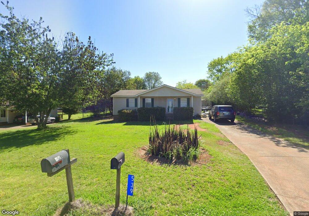
539 Dogwood Dr Thomaston, GA 30286
Estimated Value: $148,000 - $174,000
1
Bed
2
Baths
1,008
Sq Ft
$162/Sq Ft
Est. Value
About This Home
This home is located at 539 Dogwood Dr, Thomaston, GA 30286 and is currently estimated at $163,362, approximately $162 per square foot. 539 Dogwood Dr is a home located in Upson County with nearby schools including Upson-Lee South Elementary School, Upson-Lee North Elementary School, and Upson-Lee Middle School.
Ownership History
Date
Name
Owned For
Owner Type
Purchase Details
Closed on
Jan 3, 2006
Sold by
Not Provided
Bought by
Price Gabriel E
Current Estimated Value
Home Financials for this Owner
Home Financials are based on the most recent Mortgage that was taken out on this home.
Original Mortgage
$69,350
Outstanding Balance
$46,152
Interest Rate
9.6%
Mortgage Type
New Conventional
Estimated Equity
$117,211
Create a Home Valuation Report for This Property
The Home Valuation Report is an in-depth analysis detailing your home's value as well as a comparison with similar homes in the area
Home Values in the Area
Average Home Value in this Area
Purchase History
| Date | Buyer | Sale Price | Title Company |
|---|---|---|---|
| Price Gabriel E | $64,700 | -- |
Source: Public Records
Mortgage History
| Date | Status | Borrower | Loan Amount |
|---|---|---|---|
| Open | Price Gabriel E | $69,350 |
Source: Public Records
Tax History Compared to Growth
Tax History
| Year | Tax Paid | Tax Assessment Tax Assessment Total Assessment is a certain percentage of the fair market value that is determined by local assessors to be the total taxable value of land and additions on the property. | Land | Improvement |
|---|---|---|---|---|
| 2024 | $967 | $41,894 | $8,000 | $33,894 |
| 2023 | $969 | $40,559 | $8,000 | $32,559 |
| 2022 | $850 | $32,651 | $8,000 | $24,651 |
| 2021 | $710 | $28,961 | $8,000 | $20,961 |
| 2020 | $651 | $25,086 | $6,400 | $18,686 |
| 2019 | $622 | $22,316 | $4,000 | $18,316 |
| 2018 | $623 | $22,316 | $4,000 | $18,316 |
| 2017 | $517 | $17,392 | $3,200 | $14,192 |
| 2016 | $510 | $16,908 | $3,200 | $13,708 |
| 2015 | $510 | $16,908 | $3,200 | $13,708 |
| 2014 | $511 | $16,930 | $3,200 | $13,730 |
Source: Public Records
Map
Nearby Homes
- 556 Sunnyland Dr
- 524 Sunnyland Dr
- 216 E Moores Crossing Rd
- 0 W Moores Crossing Rd Unit 10605207
- 2615 Barnesville Hwy
- 1205 Shady Ln
- 657 Tom McKinley Rd
- 115 Hillside Dr
- 2724 Barnesville St
- 201 Creekside Manor Dr
- 101 Pineview Dr
- LOT 193 Morningside Ct
- LOT 195 Morningside Ct
- LOT 194 Morningside Ct
- 508 Heath Dr
- 114 C St NE
- 106 C St NE
- 458 E St
- 3006 Barnesville Hwy
- 113 Park Ln