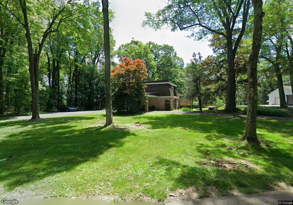
539 Forest Rd Somerset, PA 15501
Estimated Value: $217,000 - $313,000
3
Beds
2
Baths
1,728
Sq Ft
$145/Sq Ft
Est. Value
About This Home
This home is located at 539 Forest Rd, Somerset, PA 15501 and is currently estimated at $250,387, approximately $144 per square foot. 539 Forest Rd is a home located in Somerset County with nearby schools including Maple Ridge Elementary School, Eagle View Elementary School, and Somerset Area Junior/Senior High School.
Ownership History
Date
Name
Owned For
Owner Type
Purchase Details
Closed on
Sep 10, 2011
Sold by
West Richard J and West Keith H
Bought by
Blake Amanda and Blake William A
Current Estimated Value
Home Financials for this Owner
Home Financials are based on the most recent Mortgage that was taken out on this home.
Original Mortgage
$113,120
Outstanding Balance
$78,346
Interest Rate
4.5%
Mortgage Type
FHA
Estimated Equity
$172,041
Create a Home Valuation Report for This Property
The Home Valuation Report is an in-depth analysis detailing your home's value as well as a comparison with similar homes in the area
Home Values in the Area
Average Home Value in this Area
Purchase History
| Date | Buyer | Sale Price | Title Company |
|---|---|---|---|
| Blake Amanda | $12,500,000 | None Available |
Source: Public Records
Mortgage History
| Date | Status | Borrower | Loan Amount |
|---|---|---|---|
| Open | Blake Amanda | $113,120 |
Source: Public Records
Tax History Compared to Growth
Tax History
| Year | Tax Paid | Tax Assessment Tax Assessment Total Assessment is a certain percentage of the fair market value that is determined by local assessors to be the total taxable value of land and additions on the property. | Land | Improvement |
|---|---|---|---|---|
| 2025 | $3,438 | $43,210 | $0 | $0 |
| 2024 | $3,438 | $43,210 | $0 | $0 |
| 2023 | $3,363 | $43,210 | $0 | $0 |
| 2022 | $3,198 | $43,210 | $0 | $0 |
| 2021 | $3,131 | $43,210 | $0 | $0 |
| 2020 | $3,088 | $43,210 | $0 | $0 |
| 2019 | $3,088 | $43,210 | $0 | $0 |
| 2018 | $3,044 | $43,210 | $14,690 | $28,520 |
| 2017 | $3,022 | $43,210 | $14,690 | $28,520 |
| 2016 | -- | $43,210 | $14,690 | $28,520 |
| 2015 | -- | $43,200 | $14,685 | $28,515 |
| 2014 | -- | $43,200 | $14,685 | $28,515 |
Source: Public Records
Map
Nearby Homes
- 620 N Franklin Ave
- 629 Clover Hill Rd
- 678 W Main St
- 348 W Catherine St
- 506 Tayman Ave
- 331 W Main St
- 527 N Edgewood Ave
- 549 W Race St
- 878 Tayman Ave
- 949 Smith St
- 158 W Union St
- 120 W Catherine St
- 336 W Sanner St
- 127 W Main St
- 344 W Garrett St
- 129 Missoura St
- 213 Stoystown Rd
- 218 Missoura St
- 742 S Edgewood Ave (Rear)
- 539 Forest Ave
- 567 Forest Rd
- 503 N Franklin Ave
- 630 Mckinley Dr
- 640 Mckinley Dr
- 511 Forest Rd
- 504 N Franklin Ave
- 620 Mckinley Dr
- 625 N Franklin Ave
- 417 High St
- 506 N Franklin Ave
- 546 W Catherine St
- 625 Mckinley Dr
- 641 Mckinley Dr
- 420 N Franklin Ave
- 661 Mckinley Dr
- 514 N Franklin Ave
- 616 Mckinley Dr
- 630 Clover Hill Rd
- 660 Mckinley Dr