539 Gab Creek Farm Rd Dahlonega, GA 30533
Estimated Value: $1,010,000 - $1,347,943
--
Bed
4
Baths
4,230
Sq Ft
$279/Sq Ft
Est. Value
About This Home
This home is located at 539 Gab Creek Farm Rd, Dahlonega, GA 30533 and is currently estimated at $1,178,972, approximately $278 per square foot. 539 Gab Creek Farm Rd is a home located in Lumpkin County with nearby schools including Lumpkin County High School.
Ownership History
Date
Name
Owned For
Owner Type
Purchase Details
Closed on
Mar 24, 2023
Sold by
Hutcheson John Mosely
Bought by
Hutcheson John Mosely Trust and John Mosely Hutcheson Revocable Living T
Current Estimated Value
Purchase Details
Closed on
Jan 31, 2014
Sold by
Gab Creek Farm Fam Limi
Bought by
Hutcheson John M
Purchase Details
Closed on
Sep 28, 2006
Sold by
Not Provided
Bought by
Gab Creek Farm Fam Limited
Purchase Details
Closed on
Dec 7, 2004
Sold by
Hutcheson Joyce S
Bought by
Hutcheson John M and Hutcheson Joyce
Purchase Details
Closed on
Aug 13, 1998
Bought by
Hutcheson Joyce S
Create a Home Valuation Report for This Property
The Home Valuation Report is an in-depth analysis detailing your home's value as well as a comparison with similar homes in the area
Home Values in the Area
Average Home Value in this Area
Purchase History
| Date | Buyer | Sale Price | Title Company |
|---|---|---|---|
| Hutcheson John Mosely Trust | -- | -- | |
| Hutcheson John M | -- | -- | |
| Gab Creek Farm Fam Limited | -- | -- | |
| Hutcheson John M | -- | -- | |
| Hutcheson Joyce S | -- | -- |
Source: Public Records
Tax History Compared to Growth
Tax History
| Year | Tax Paid | Tax Assessment Tax Assessment Total Assessment is a certain percentage of the fair market value that is determined by local assessors to be the total taxable value of land and additions on the property. | Land | Improvement |
|---|---|---|---|---|
| 2024 | $2,894 | $450,188 | $263,260 | $186,928 |
| 2023 | $2,248 | $441,420 | $263,260 | $178,160 |
| 2022 | $2,585 | $408,255 | $239,328 | $168,927 |
| 2021 | $2,092 | $386,990 | $239,328 | $147,662 |
| 2020 | $2,096 | $384,439 | $239,328 | $145,111 |
| 2019 | $2,102 | $384,439 | $239,328 | $145,111 |
| 2018 | $2,078 | $370,958 | $239,328 | $131,630 |
| 2017 | $2,115 | $370,031 | $239,328 | $130,703 |
| 2016 | $2,042 | $359,240 | $239,328 | $119,912 |
| 2015 | $1,748 | $359,239 | $239,328 | $119,912 |
| 2014 | $1,748 | $447,937 | $336,770 | $111,167 |
| 2013 | -- | $449,063 | $336,769 | $112,294 |
Source: Public Records
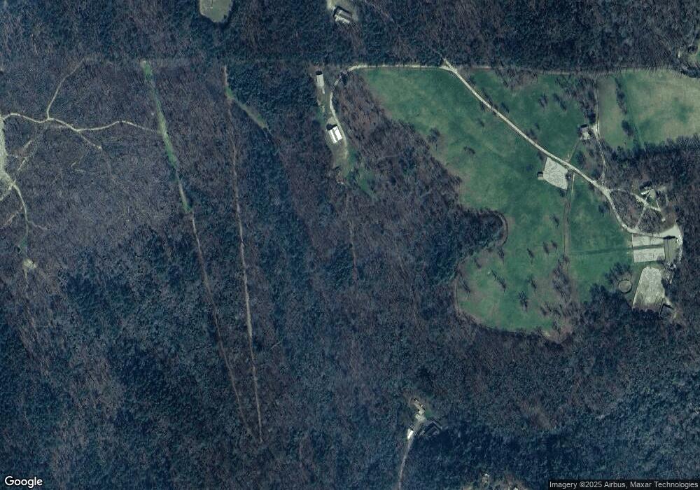
Map
Nearby Homes
- 256 Autumn Harvest Ln
- 2716 Bailey Waters Rd
- 0 Little Mountain Rd Unit 7474532
- 00 Chester Rd
- 115 Deer Trail
- 595 Ridge Rd
- 590 Ridge Rd
- 135 April Trace Rd
- 117 Joes Cove
- 0 Crane Rd Unit 10445403
- 30 Station Gap
- 0 Mccormick Dr Unit 10509566
- 0 Mccormick Dr Unit 7568882
- 117 Poplar Dr
- 564 Ridge Rd
- 748 Elm Ln
- 748 Elm Ln Unit 8A
- 38 &51 Mountain Crest Rd
- 111 Amicalola Dr
- 157 Lakota Dr
- 190 Guy Waters Rd
- 695 Guy Waters Rd
- 123 Guy Waters Rd
- 9366 Hwy 52 Unit LOT
- 9366 Highway 52 W
- 9364 Highway 52 W
- 9338 Highway 52 W
- 70 Guy Waters Rd
- 765 Guy Waters Rd
- 9368 Highway 52 W
- 9359 Highway 52 W
- 0 Dan Fowler Rd
- 0 Dan Fowler Rd Unit 7494430
- 0 Dan Fowler Rd Unit 7373419
- 0 Dan Fowler Rd Unit 7166377
- 0 Dan Fowler Rd Unit 8150733
- 0 Dan Fowler Rd Unit 8067346
- 0 Dan Fowler Rd Unit 8249700
- 8728 Highway 52 W
- 8680 Highway 52 W