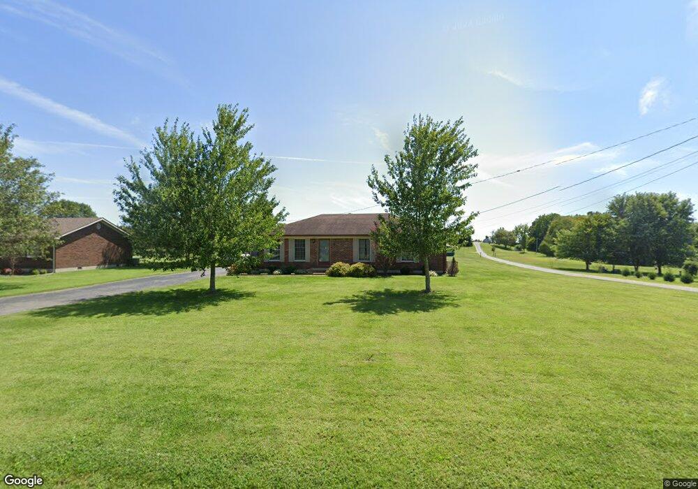
539 Greer Ln Bardstown, KY 40004
Estimated Value: $280,000 - $361,612
3
Beds
2
Baths
1,350
Sq Ft
$238/Sq Ft
Est. Value
About This Home
This home is located at 539 Greer Ln, Bardstown, KY 40004 and is currently estimated at $321,653, approximately $238 per square foot. 539 Greer Ln is a home located in Nelson County with nearby schools including Nelson County High School and Bluegrass Christian Academy.
Ownership History
Date
Name
Owned For
Owner Type
Purchase Details
Closed on
Jun 30, 2020
Sold by
Back Clyde and Back Tina M
Bought by
Pulliam Ernest S and Pulliam Brandy Jo
Current Estimated Value
Home Financials for this Owner
Home Financials are based on the most recent Mortgage that was taken out on this home.
Original Mortgage
$175,750
Outstanding Balance
$155,843
Interest Rate
3.1%
Mortgage Type
New Conventional
Estimated Equity
$165,810
Purchase Details
Closed on
Jun 22, 2005
Sold by
Blaine Sharon
Bought by
Back Clyde and Back Tina M
Create a Home Valuation Report for This Property
The Home Valuation Report is an in-depth analysis detailing your home's value as well as a comparison with similar homes in the area
Home Values in the Area
Average Home Value in this Area
Purchase History
| Date | Buyer | Sale Price | Title Company |
|---|---|---|---|
| Pulliam Ernest S | $185,000 | Bluegrass Land Title Llc | |
| Back Clyde | $135,300 | None Available |
Source: Public Records
Mortgage History
| Date | Status | Borrower | Loan Amount |
|---|---|---|---|
| Open | Pulliam Ernest S | $175,750 |
Source: Public Records
Tax History Compared to Growth
Tax History
| Year | Tax Paid | Tax Assessment Tax Assessment Total Assessment is a certain percentage of the fair market value that is determined by local assessors to be the total taxable value of land and additions on the property. | Land | Improvement |
|---|---|---|---|---|
| 2024 | $2,142 | $277,320 | $0 | $0 |
| 2023 | $2,142 | $197,850 | $0 | $0 |
| 2022 | $2,190 | $197,850 | $197,850 | $0 |
| 2021 | $2,217 | $197,850 | $197,850 | $0 |
| 2020 | $1,755 | $197,850 | $197,850 | $0 |
| 2019 | $1,839 | $197,850 | $197,850 | $0 |
| 2018 | $1,322 | $147,200 | $147,200 | $0 |
| 2017 | -- | $147,200 | $147,200 | $0 |
| 2016 | -- | $147,200 | $147,200 | $0 |
| 2015 | $1,516 | $147,200 | $147,200 | $0 |
| 2012 | $1,516 | $147,200 | $147,200 | $0 |
Source: Public Records
Map
Nearby Homes
- 61 Manton Rd
- 1206 Oak Knoll Dr
- 1017 Polley Dr
- 1018 Farmaway Dr
- 650 Poplar Flat Rd
- 4198 Springfield Rd
- 1003 Polley Dr
- 602 Briar Cliff Rd
- 132 Laurel Dr
- 175 Remington Dr
- 116 Waverly Dr
- 160 Remington Dr
- 156 Remington Dr
- Lot 1 Manor Dr
- Lot #239 Stevenson Ct
- Lot #234 Stevenson Ct
- Lot #231 Stevenson Ct
- Lot #229 Stevenson Ct
- Lot #202 Christine Ct
- 112 Poplar Wood Dr