539 Hawksnest Dr Unit 22 South Haven, MI 49090
Estimated Value: $571,960 - $766,000
3
Beds
3
Baths
3,504
Sq Ft
$188/Sq Ft
Est. Value
About This Home
This home is located at 539 Hawksnest Dr Unit 22, South Haven, MI 49090 and is currently estimated at $658,990, approximately $188 per square foot. 539 Hawksnest Dr Unit 22 is a home located in Allegan County with nearby schools including South Haven High School.
Ownership History
Date
Name
Owned For
Owner Type
Purchase Details
Closed on
Jul 2, 2003
Sold by
Ruppert Alfred
Bought by
Brill John C and Brill Nicole A
Current Estimated Value
Home Financials for this Owner
Home Financials are based on the most recent Mortgage that was taken out on this home.
Original Mortgage
$200,000
Outstanding Balance
$85,735
Interest Rate
5.37%
Mortgage Type
Unknown
Estimated Equity
$573,255
Create a Home Valuation Report for This Property
The Home Valuation Report is an in-depth analysis detailing your home's value as well as a comparison with similar homes in the area
Home Values in the Area
Average Home Value in this Area
Purchase History
| Date | Buyer | Sale Price | Title Company |
|---|---|---|---|
| Brill John C | $250,000 | Metropolitan Title Company |
Source: Public Records
Mortgage History
| Date | Status | Borrower | Loan Amount |
|---|---|---|---|
| Open | Brill John C | $200,000 |
Source: Public Records
Tax History Compared to Growth
Tax History
| Year | Tax Paid | Tax Assessment Tax Assessment Total Assessment is a certain percentage of the fair market value that is determined by local assessors to be the total taxable value of land and additions on the property. | Land | Improvement |
|---|---|---|---|---|
| 2025 | $5,946 | $263,200 | $29,400 | $233,800 |
| 2024 | -- | $267,600 | $31,400 | $236,200 |
| 2023 | -- | $279,000 | $31,400 | $247,600 |
| 2022 | $0 | $222,400 | $28,500 | $193,900 |
| 2021 | $2,699 | $213,500 | $28,500 | $185,000 |
| 2020 | $5,056 | $201,600 | $27,200 | $174,400 |
| 2019 | $0 | $179,300 | $27,200 | $152,100 |
| 2018 | $0 | $160,900 | $27,200 | $133,700 |
| 2017 | $0 | $169,900 | $27,200 | $142,700 |
| 2016 | $0 | $162,800 | $27,200 | $135,600 |
| 2015 | -- | $162,800 | $27,200 | $135,600 |
| 2014 | -- | $147,800 | $26,500 | $121,300 |
| 2013 | -- | $145,200 | $26,500 | $118,700 |
Source: Public Records
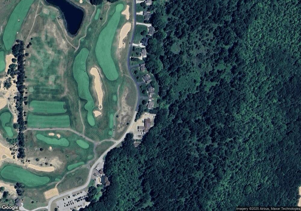
Map
Nearby Homes
- 02 Hawks Nest Dr
- 00 Hawks Nest Dr
- 531 71st St
- 4490 103rd Ave
- VL Highfield Beach Dr Unit Lot 6
- VL Highfield Beach Dr Unit 43
- 7230 Maple St
- 7241 A St
- V/L Miami Ave Unit Lots 21-24
- V/L Miami Ave
- VL Orchard Rd
- 507 A Ave
- 637 Lantern Watch Dr Unit 35
- 665 Lantern Watch Dr Unit 28
- 688 Waters Edge
- 688 Waters Edge Unit 15
- 684 Waters Edge Unit 14
- 7255 Miami Ave
- 6650 103rd Ave
- 500 Blue Star Hwy Unit 21 Acres
- 543 Hawksnest Dr
- 547 Hawksnest Dr Unit 20
- 551 Hawksnest Dr
- 0 Hawks Nest Dr Unit 69002813588
- 0 Hawks Nest Dr Unit 69012021539
- Lot 4 Hawks Nest Dr
- #8 Hawks Nest Dr
- LOT Hawks Nest Dr
- Lot 17 Hawks Nest Dr
- 0 Hawks Nest Dr Unit M13001729
- 0 Hawks Nest Dr Unit M13026899
- 0 Hawks Nest Dr Unit M13042154
- 0 Hawks Nest Dr Unit M15011471
- 0 Hawks Nest Dr Unit M17004908
- 0 Hawks Nest Dr Unit M17042539
- 0 Hawks Nest Dr Unit M18045851
- 0 Hawks Nest Dr Unit M19042520
- 0 Hawks Nest Dr Unit M21015833
- 0 Hawks Nest Dr Unit 71017040836
- 0 Hawks Nest Dr Unit 71017042539