539 Island Ave Peaks Island, ME 04108
Peaks Island NeighborhoodEstimated Value: $774,714 - $1,030,000
2
Beds
2
Baths
1,362
Sq Ft
$663/Sq Ft
Est. Value
About This Home
This home is located at 539 Island Ave, Peaks Island, ME 04108 and is currently estimated at $902,429, approximately $662 per square foot. 539 Island Ave is a home with nearby schools including Peaks Island School and King Middle School.
Ownership History
Date
Name
Owned For
Owner Type
Purchase Details
Closed on
May 21, 2012
Sold by
John A Macleod 2Nd Ret
Bought by
Burke Margaret E and Moors David A
Current Estimated Value
Home Financials for this Owner
Home Financials are based on the most recent Mortgage that was taken out on this home.
Original Mortgage
$357,600
Outstanding Balance
$249,038
Interest Rate
4.01%
Mortgage Type
Commercial
Estimated Equity
$653,391
Purchase Details
Closed on
Mar 19, 2012
Sold by
Macleod John A
Bought by
John A Macleod 2 Ret
Create a Home Valuation Report for This Property
The Home Valuation Report is an in-depth analysis detailing your home's value as well as a comparison with similar homes in the area
Home Values in the Area
Average Home Value in this Area
Purchase History
| Date | Buyer | Sale Price | Title Company |
|---|---|---|---|
| Burke Margaret E | -- | -- | |
| John A Macleod 2 Ret | -- | -- |
Source: Public Records
Mortgage History
| Date | Status | Borrower | Loan Amount |
|---|---|---|---|
| Open | Burke Margaret E | $357,600 |
Source: Public Records
Tax History Compared to Growth
Tax History
| Year | Tax Paid | Tax Assessment Tax Assessment Total Assessment is a certain percentage of the fair market value that is determined by local assessors to be the total taxable value of land and additions on the property. | Land | Improvement |
|---|---|---|---|---|
| 2024 | $7,814 | $520,600 | $211,400 | $309,200 |
| 2023 | $7,502 | $520,600 | $211,400 | $309,200 |
| 2022 | $7,085 | $520,600 | $211,400 | $309,200 |
| 2021 | $6,763 | $520,600 | $211,400 | $309,200 |
| 2020 | $10,949 | $469,700 | $374,500 | $95,200 |
| 2019 | $10,949 | $469,700 | $374,500 | $95,200 |
| 2018 | $10,559 | $469,700 | $374,500 | $95,200 |
| 2017 | $10,169 | $469,700 | $374,500 | $95,200 |
| 2016 | $9,915 | $469,700 | $374,500 | $95,200 |
| 2015 | $9,690 | $469,700 | $374,500 | $95,200 |
| 2014 | $9,394 | $469,700 | $374,500 | $95,200 |
Source: Public Records
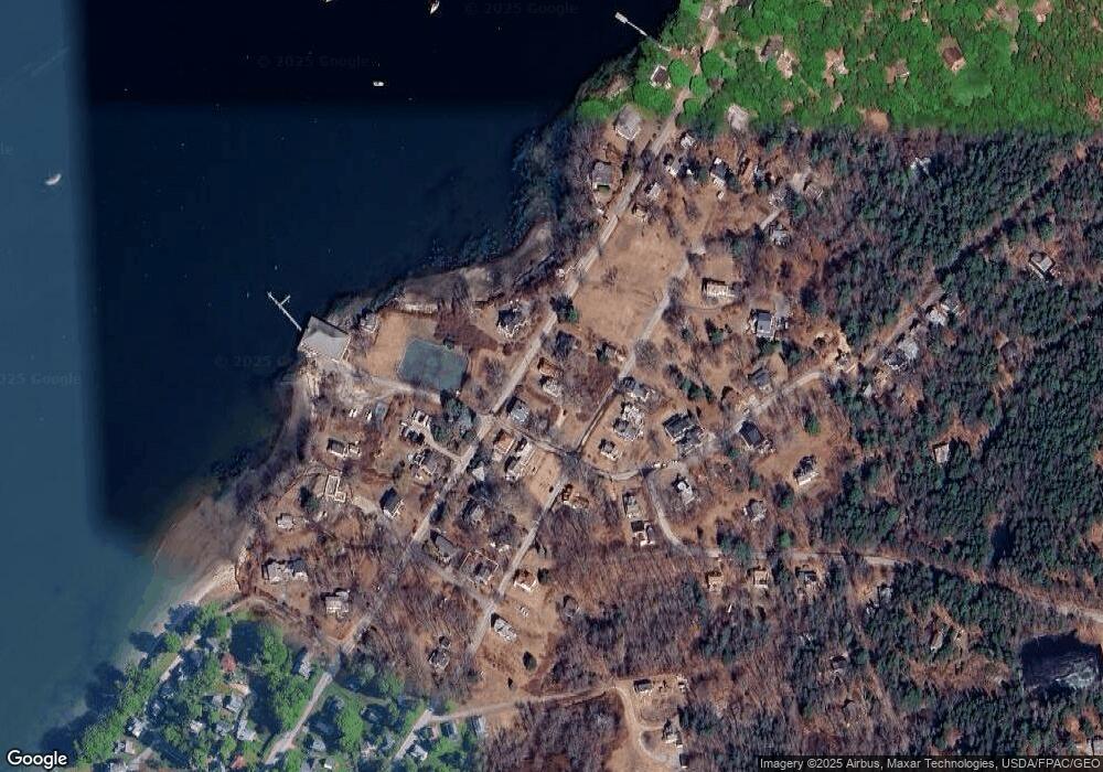
Map
Nearby Homes
- 20 Evergreen Landing
- 11 Ocean Spray Rd
- 109 Reed Ave
- 364 Island Ave
- 38 Ledgewood Rd
- 31 Elizabeth St
- 85 Upper A St
- 95 Herman Ave
- 151 Brackett Ave
- 159 Diamond Ave
- 4 Wiley St
- 22 Boathouse Way
- 39 Meridian St
- 6 Quartermaster Ct
- 111 Spruce Ave
- 46 Ryefield St
- 161 W Shore Dr
- 33 Island Ave
- 21 Beach Ave
- 79 Whitehead Ave
- 541 Island Ave
- 531 Island Ave
- 49 Trefethen Ave
- 525 Island Ave
- 548 Island Ave
- 291 Pleasant Ave
- 287 Pleasant Ave
- 517 Island Ave
- 522 Island Ave
- 265 Pleasant Ave
- 562 Island Ave
- 260 Pleasant Ave
- 90 Trefethen Ave
- 71 Trefethen Ave
- 258 Pleasant Ave
- 88 Trefethen Ave
- 91 B St
- 512 Island Ave
- 79 Trefethen Ave
- 98 Trefethen Ave