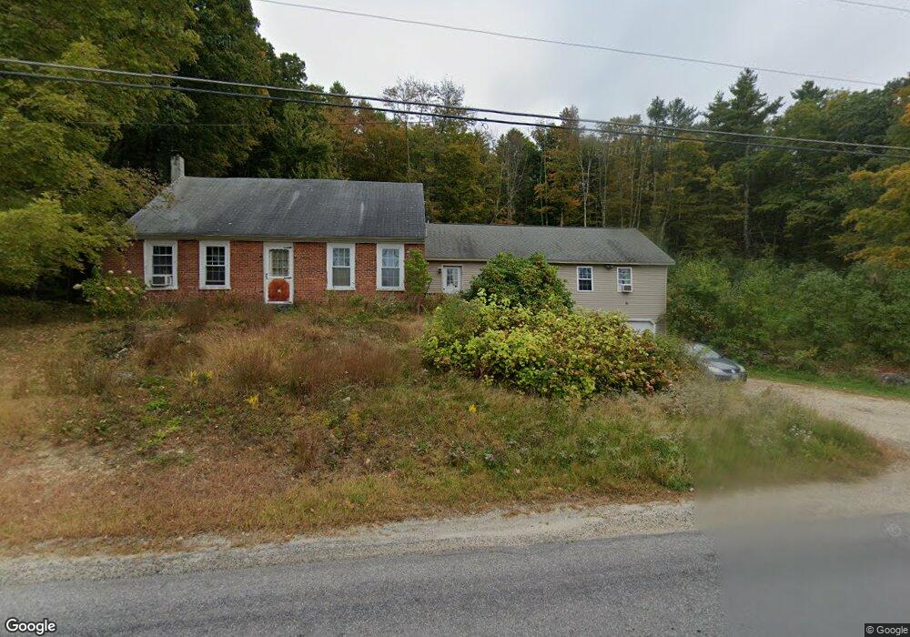
539 Lawrence Rd Pownal, ME 04069
Estimated Value: $581,386 - $889,000
Studio
--
Bath
2,216
Sq Ft
$316/Sq Ft
Est. Value
About This Home
This home is located at 539 Lawrence Rd, Pownal, ME 04069 and is currently estimated at $700,347, approximately $316 per square foot. 539 Lawrence Rd is a home with nearby schools including Freeport High School.
Ownership History
Date
Name
Owned For
Owner Type
Purchase Details
Closed on
May 9, 2007
Sold by
Tryon Constance E
Bought by
Tryon Andrew K and Aryon Melissa A
Current Estimated Value
Create a Home Valuation Report for This Property
The Home Valuation Report is an in-depth analysis detailing your home's value as well as a comparison with similar homes in the area
Home Values in the Area
Average Home Value in this Area
Purchase History
| Date | Buyer | Sale Price | Title Company |
|---|---|---|---|
| Tryon Andrew K | -- | -- | |
| Tryon Andrew K | -- | -- |
Source: Public Records
Mortgage History
| Date | Status | Borrower | Loan Amount |
|---|---|---|---|
| Open | Tryon Andrew K | $25,000 | |
| Open | Tryon Andrew K | $131,000 | |
| Closed | Tryon Andrew K | $20,000 |
Source: Public Records
Tax History
| Year | Tax Paid | Tax Assessment Tax Assessment Total Assessment is a certain percentage of the fair market value that is determined by local assessors to be the total taxable value of land and additions on the property. | Land | Improvement |
|---|---|---|---|---|
| 2024 | $6,110 | $359,400 | $103,700 | $255,700 |
| 2023 | $5,647 | $299,600 | $86,400 | $213,200 |
| 2022 | $5,393 | $299,600 | $86,400 | $213,200 |
| 2021 | $5,393 | $299,600 | $86,400 | $213,200 |
| 2020 | $5,393 | $299,600 | $86,400 | $213,200 |
| 2019 | $5,483 | $299,600 | $86,400 | $213,200 |
| 2018 | $5,393 | $299,600 | $86,400 | $213,200 |
| 2017 | $5,168 | $299,600 | $86,400 | $213,200 |
| 2016 | $4,943 | $299,600 | $86,400 | $213,200 |
| 2015 | $4,381 | $129,800 | $20,000 | $109,800 |
| 2014 | $4,478 | $129,800 | $20,000 | $109,800 |
| 2013 | $4,511 | $129,800 | $20,000 | $109,800 |
Source: Public Records
Map
Nearby Homes
- 850 Lawrence Rd
- 112 Leighton Rd
- 244 Allen Rd
- 026-01 Dow Ln
- 238 Hallowell Rd
- 25 Allen Rd
- 1523 North Rd
- 84 Town Farm Rd
- 92 Town Farm Rd
- 4 Harper's Trail
- 0 New Gloucester Rd
- 79 Birchwood Terrace
- 45 Beech Hill Rd
- 304 Pownal Rd
- 1 Mattie Ln
- 24 Mattie Ln
- 27 Bull Run
- 24 Hazel Ln Unit 24
- 143 Bragdon Rd
- 8 Statler Ln
Your Personal Tour Guide
Ask me questions while you tour the home.