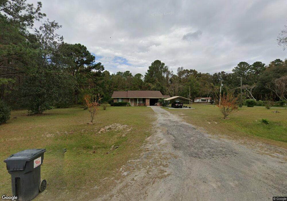
539 Lewis Frasier Rd Midway, GA 31320
Estimated Value: $176,101 - $248,000
3
Beds
2
Baths
1,096
Sq Ft
$193/Sq Ft
Est. Value
About This Home
This home is located at 539 Lewis Frasier Rd, Midway, GA 31320 and is currently estimated at $211,525, approximately $192 per square foot. 539 Lewis Frasier Rd is a home with nearby schools including Liberty Elementary School, Midway Middle School, and Liberty County High School.
Ownership History
Date
Name
Owned For
Owner Type
Purchase Details
Closed on
May 26, 2020
Sold by
Barrett Willie
Bought by
Barrett Doris
Current Estimated Value
Purchase Details
Closed on
Jan 30, 1992
Sold by
Aaa Bonding Agency
Bought by
Barrett Willie
Purchase Details
Closed on
Mar 21, 1989
Sold by
Aaa Bonding Agency
Bought by
Aaa Bonding Agency
Purchase Details
Closed on
Dec 1, 1982
Sold by
Barrett Willie
Bought by
Aaa Bonding Agency
Purchase Details
Closed on
Sep 1, 1980
Bought by
Barrett Willie
Create a Home Valuation Report for This Property
The Home Valuation Report is an in-depth analysis detailing your home's value as well as a comparison with similar homes in the area
Home Values in the Area
Average Home Value in this Area
Purchase History
| Date | Buyer | Sale Price | Title Company |
|---|---|---|---|
| Barrett Doris | -- | -- | |
| Barrett Willie | -- | -- | |
| Aaa Bonding Agency | -- | -- | |
| Aaa Bonding Agency | $4,000 | -- | |
| Barrett Willie | -- | -- |
Source: Public Records
Tax History Compared to Growth
Tax History
| Year | Tax Paid | Tax Assessment Tax Assessment Total Assessment is a certain percentage of the fair market value that is determined by local assessors to be the total taxable value of land and additions on the property. | Land | Improvement |
|---|---|---|---|---|
| 2024 | $818 | $43,030 | $6,184 | $36,846 |
| 2023 | $818 | $38,764 | $6,184 | $32,580 |
| 2022 | $686 | $32,968 | $6,184 | $26,784 |
| 2021 | $615 | $30,553 | $6,184 | $24,369 |
| 2020 | $1,239 | $30,931 | $6,184 | $24,747 |
| 2019 | $1,221 | $31,296 | $6,184 | $25,112 |
| 2018 | $1,294 | $33,650 | $6,184 | $27,466 |
| 2017 | $1,121 | $34,044 | $6,184 | $27,860 |
| 2016 | $1,156 | $34,056 | $6,184 | $27,872 |
| 2015 | $1,201 | $31,652 | $4,926 | $26,726 |
| 2014 | $1,201 | $33,102 | $4,926 | $28,176 |
| 2013 | -- | $29,233 | $3,728 | $25,504 |
Source: Public Records
Map
Nearby Homes
- 8701 E Oglethorpe Hwy
- 296 River Bend Dr
- 2 Acres Walthour Rd
- 327 River Bend Dr
- 364 River Bend Dr
- 0 E Oglethorpe Unit SA341930
- 0 E Oglethorpe Unit 153327
- 0 E Oglethorpe Unit 10592168
- 90 Charleston Ct
- 7337 E Oglethorpe Hwy
- 176 Dave Williams Rd
- 0000 E Oglethorpe Hwy
- 182 Gloucester Dr
- 1123 Stone Ct
- 984 Stone Ct
- 0 S Coastal Hwy
- 29 Sassafras Ln
- 670 Stone Ct
- 35 Hollis Ln
- 152 Holland Dr
- 503 Lewis Frasier Rd
- 289 Robinson St
- 685 Lewis Frasier Rd
- 219 Robinson Cir
- 146.81 Lewis Frasier Rd
- 8.22acre Lewis Frasier Rd
- 2581 Lewis Frasier Rd
- 197 Robinson Cir
- 229 Robinson St
- 669 Lewis Frasier Rd
- 185 Robinson Cir
- 13 Robinson Cir
- 244 Robinson Cir
- 385 Lewis Frasier Rd
- 384 Lewis Frasier Rd
- 179 Robinson Cir
- 143 Robinson St
- 344 Lewis Frasier Rd
- 24 Robinson Ln
- 58 Robinson Ln Unit 22C