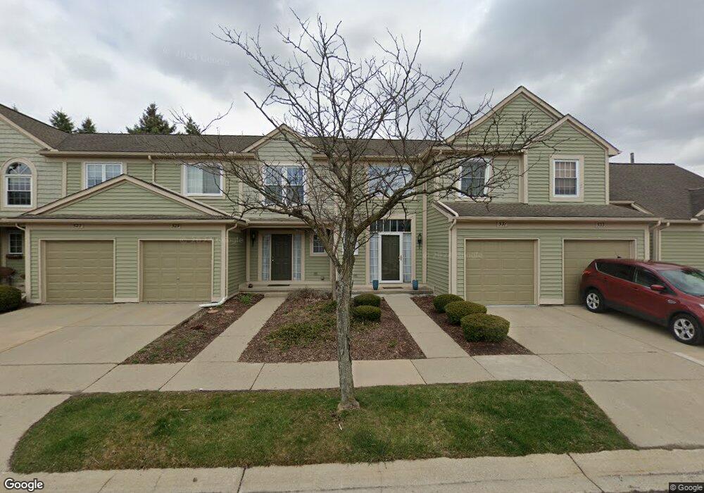
539 Liberty Pointe Dr Ann Arbor, MI 48103
Liberty Glen NeighborhoodEstimated Value: $413,000 - $456,000
3
Beds
2
Baths
2,044
Sq Ft
$213/Sq Ft
Est. Value
About This Home
This home is located at 539 Liberty Pointe Dr, Ann Arbor, MI 48103 and is currently estimated at $435,225, approximately $212 per square foot. 539 Liberty Pointe Dr is a home located in Washtenaw County with nearby schools including Lakewood Elementary School, Forsythe Middle School, and Skyline High School.
Ownership History
Date
Name
Owned For
Owner Type
Purchase Details
Closed on
Oct 31, 2019
Sold by
Jones Sidne1y N
Bought by
Jones Eric B
Current Estimated Value
Home Financials for this Owner
Home Financials are based on the most recent Mortgage that was taken out on this home.
Original Mortgage
$108,800
Outstanding Balance
$95,716
Interest Rate
3.6%
Mortgage Type
New Conventional
Estimated Equity
$339,509
Purchase Details
Closed on
May 20, 1999
Sold by
Chahal Harjap K
Bought by
Jones Sidney N
Create a Home Valuation Report for This Property
The Home Valuation Report is an in-depth analysis detailing your home's value as well as a comparison with similar homes in the area
Home Values in the Area
Average Home Value in this Area
Purchase History
| Date | Buyer | Sale Price | Title Company |
|---|---|---|---|
| Jones Eric B | $136,000 | None Available | |
| Jones Sidney N | $229,000 | -- |
Source: Public Records
Mortgage History
| Date | Status | Borrower | Loan Amount |
|---|---|---|---|
| Open | Jones Eric B | $108,800 |
Source: Public Records
Tax History Compared to Growth
Tax History
| Year | Tax Paid | Tax Assessment Tax Assessment Total Assessment is a certain percentage of the fair market value that is determined by local assessors to be the total taxable value of land and additions on the property. | Land | Improvement |
|---|---|---|---|---|
| 2025 | $5,684 | $218,200 | $0 | $0 |
| 2024 | $5,293 | $218,200 | $0 | $0 |
| 2023 | $4,881 | $207,900 | $0 | $0 |
| 2022 | $5,318 | $190,600 | $0 | $0 |
| 2021 | $5,193 | $181,200 | $0 | $0 |
| 2020 | $8,508 | $179,200 | $0 | $0 |
| 2019 | $4,842 | $164,800 | $164,800 | $0 |
| 2018 | $4,774 | $147,700 | $0 | $0 |
| 2017 | $4,644 | $144,100 | $0 | $0 |
| 2016 | $3,956 | $92,872 | $0 | $0 |
| 2015 | $4,267 | $92,595 | $0 | $0 |
| 2014 | $4,267 | $89,702 | $0 | $0 |
| 2013 | -- | $89,702 | $0 | $0 |
Source: Public Records
Map
Nearby Homes
- 609 Liberty Pointe Dr Unit 45
- 813 E Summerfield Glen Cir
- 2564 W Towne St
- 324 Highlake Ave
- 922 W Summerfield Glen Cir Unit 110
- 570 S Maple Rd
- 2509 W Liberty St
- 3177 Sunnywood Dr
- 1053 Bluestem Ln
- 3224 Lakewood Dr
- 2149 Fair St
- 1235 S Maple Rd Unit 202
- 1225 S Maple Rd Unit 307
- 2052 Liberty Heights
- 1265 S Maple Rd Unit 207
- 2107 Jackson Ave
- 2120 Pauline Blvd Unit 305
- 2104 Pauline Blvd Unit 305
- 105 Pleasant Place
- 115 Longman Ln
- 543 Liberty Pointe Dr
- 533 Liberty Pointe Dr
- 531 Liberty Pointe Dr Unit 68
- 545 Liberty Pointe Dr
- 529 Liberty Pointe Dr
- 527 Liberty Pointe Dr
- 561 Liberty Pointe Dr
- 561 Liberty Pointe Dr Unit 108
- 563 Liberty Pointe Dr
- 505 Liberty Pointe Dr Unit 95
- 565 Liberty Pointe Dr
- 565 Liberty Pointe Dr Unit 110
- 549 Liberty Pointe Dr
- 525 Liberty Pointe Dr
- 507 Liberty Pointe Dr Unit 96
- 581 Liberty Pointe Dr
- 503 Liberty Pointe Dr
- 509 Liberty Pointe Dr Unit 97
- 567 Liberty Pointe Dr Unit 111
- 551 Liberty Pointe Dr