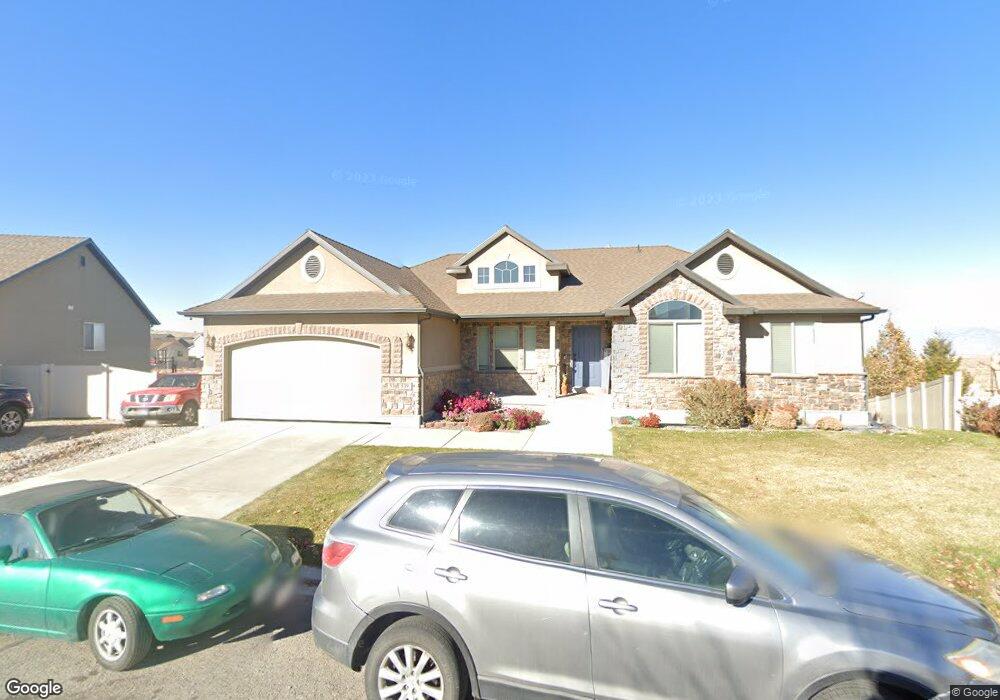
539 Little Rock Dr Santaquin, UT 84655
Estimated Value: $536,000 - $632,000
3
Beds
2
Baths
2,007
Sq Ft
$284/Sq Ft
Est. Value
About This Home
This home is located at 539 Little Rock Dr, Santaquin, UT 84655 and is currently estimated at $570,336, approximately $284 per square foot. 539 Little Rock Dr is a home with nearby schools including Santaquin Elementary School, Payson Junior High School, and Payson High School.
Ownership History
Date
Name
Owned For
Owner Type
Purchase Details
Closed on
Aug 31, 2009
Sold by
Ivory Homes Ltd
Bought by
Cook Aaron J and Cook Rachel
Current Estimated Value
Home Financials for this Owner
Home Financials are based on the most recent Mortgage that was taken out on this home.
Original Mortgage
$298,771
Outstanding Balance
$195,395
Interest Rate
5.19%
Mortgage Type
FHA
Estimated Equity
$374,941
Create a Home Valuation Report for This Property
The Home Valuation Report is an in-depth analysis detailing your home's value as well as a comparison with similar homes in the area
Home Values in the Area
Average Home Value in this Area
Purchase History
| Date | Buyer | Sale Price | Title Company |
|---|---|---|---|
| Cook Aaron J | -- | Cottonwood Title Insur |
Source: Public Records
Mortgage History
| Date | Status | Borrower | Loan Amount |
|---|---|---|---|
| Open | Cook Aaron J | $298,771 |
Source: Public Records
Tax History Compared to Growth
Tax History
| Year | Tax Paid | Tax Assessment Tax Assessment Total Assessment is a certain percentage of the fair market value that is determined by local assessors to be the total taxable value of land and additions on the property. | Land | Improvement |
|---|---|---|---|---|
| 2025 | $2,646 | $291,885 | $150,200 | $380,500 |
| 2024 | $2,646 | $263,450 | $0 | $0 |
| 2023 | $2,808 | $280,500 | $0 | $0 |
| 2022 | $2,863 | $294,965 | $0 | $0 |
| 2021 | $2,498 | $399,000 | $84,700 | $314,300 |
| 2020 | $2,409 | $372,800 | $70,600 | $302,200 |
| 2019 | $2,145 | $339,500 | $66,900 | $272,600 |
| 2018 | $2,069 | $312,200 | $59,400 | $252,800 |
| 2017 | $2,088 | $168,410 | $0 | $0 |
| 2016 | $2,012 | $159,005 | $0 | $0 |
| 2015 | $1,797 | $139,260 | $0 | $0 |
| 2014 | $1,801 | $139,260 | $0 | $0 |
Source: Public Records
Map
Nearby Homes
- 583 Sunset Dr
- 402 Topaz Dr
- 633 Little Rock Dr
- 926 S Tanner Rd
- 346 Red Rock Dr
- 1022 Vista Ridge Dr Unit 149
- 1202 W Hidden Spring Dr
- 1126 Valley View Dr
- 1144 Crest Dale Ln
- 1186 S Vista Ridge Dr
- 1245 Sageberry Dr
- 1263 Crest Dale Ln
- 1287 Cedar Pass Dr Unit 113
- 1858 W View Cove
- 1859 W View Cove
- 1851 W View Cove
- 1276 W View Dr
- 1302 W View Dr
- 1375 Oakdale Dr
- 1341 W View Dr
- 529 Little Rock Dr
- 541 Little Rock Dr
- 538 Little Rock Dr
- 545 Little Rock Dr Unit 43
- 545 Little Rock Dr Unit CONCOR
- 545 S Little Rock Sh W Unit NEBO
- 525 Little Rock Dr
- 528 Little Rock Dr Unit 114
- 552 Little Rock Cir
- 552 Little Rock Cir
- 549 Little Rock Dr
- 556 Little Rock Cir
- 521 Little Rock Dr
- 522 Little Rock Dr
- 613 S Little Rock Cir
- 564 Little Rock Cir Unit 110
- 564 Little Rock Cir
- 517 Little Rock Dr
- 557 Little Rock Dr
- 557 Little Rock Dr Unit 49