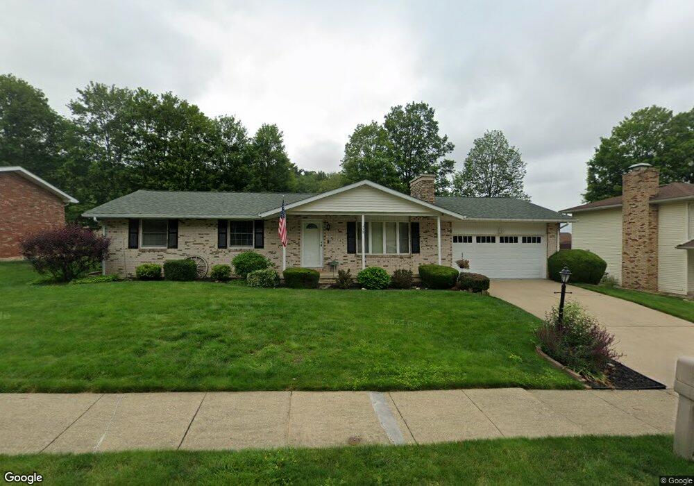
539 Lockport Ave SW New Philadelphia, OH 44663
Estimated Value: $223,000 - $274,926
3
Beds
2
Baths
1,222
Sq Ft
$206/Sq Ft
Est. Value
About This Home
This home is located at 539 Lockport Ave SW, New Philadelphia, OH 44663 and is currently estimated at $251,482, approximately $205 per square foot. 539 Lockport Ave SW is a home located in Tuscarawas County with nearby schools including New Philadelphia High School, Quaker Preparatory Academy, and Quaker Digital Academy.
Ownership History
Date
Name
Owned For
Owner Type
Purchase Details
Closed on
Dec 17, 1998
Sold by
Estate Of Virginia T Bair
Bought by
Bair Stephen B and Smith Judy C
Current Estimated Value
Create a Home Valuation Report for This Property
The Home Valuation Report is an in-depth analysis detailing your home's value as well as a comparison with similar homes in the area
Home Values in the Area
Average Home Value in this Area
Purchase History
| Date | Buyer | Sale Price | Title Company |
|---|---|---|---|
| Bair Stephen B | -- | -- |
Source: Public Records
Tax History Compared to Growth
Tax History
| Year | Tax Paid | Tax Assessment Tax Assessment Total Assessment is a certain percentage of the fair market value that is determined by local assessors to be the total taxable value of land and additions on the property. | Land | Improvement |
|---|---|---|---|---|
| 2024 | $2,442 | $63,440 | $10,830 | $52,610 |
| 2023 | $2,442 | $181,250 | $30,940 | $150,310 |
| 2022 | $2,458 | $63,438 | $10,829 | $52,609 |
| 2021 | $2,062 | $50,061 | $8,540 | $41,521 |
| 2020 | $2,176 | $50,061 | $8,540 | $41,521 |
| 2019 | $2,071 | $50,061 | $8,540 | $41,521 |
| 2018 | $1,907 | $43,640 | $7,440 | $36,200 |
| 2017 | $1,876 | $43,640 | $7,440 | $36,200 |
| 2016 | $192 | $43,640 | $7,440 | $36,200 |
| 2014 | $1,821 | $40,160 | $6,770 | $33,390 |
| 2013 | $1,502 | $40,160 | $6,770 | $33,390 |
Source: Public Records
Map
Nearby Homes
- 1024 Thomas Dr SW
- 471 Snazzy Cir SW
- 236 Myers Ave SW
- 1166 S Broadway St
- 1149 Jefferson St SE
- 161 York Dr SE
- 427 Sycamore Cir SE
- 1354 Independence Cir SE
- 1273 Concord Cir SE
- 1224 Goshen Ave SE
- 241 Saint Clair Ave SW
- 514 Front Ave SW
- 405 Front Ave SW
- 651 Front Ave SW
- 451 Mill Ave SE
- 902 W High Ave
- 344 Fair Ave NW
- 231 4th St SE
- 944 Grant Ave NW
- 239 E High Ave Unit A
- 547 Lockport Ave SW
- 528 Donald Dr SW
- 534 Donald Dr SW
- 523 Lockport Ave SW
- 534 Lockport Ave SW
- 557 Lockport Ave SW
- 522 Donald Dr SW
- 544 Lockport Ave SW
- 540 Donald Dr SW
- 526 Lockport Ave SW
- 516 Donald Dr SW
- 515 Lockport Ave SW
- 546 Donald Dr SW
- 569 Lockport Ave SW
- 545 Rankin Ct SW
- 516 Lockport Ave SW
- 510 Donald Dr SW
- 535 Rankin Ct SW
- 1005 Thomas Dr SW
- 525 Rankin Ct SW