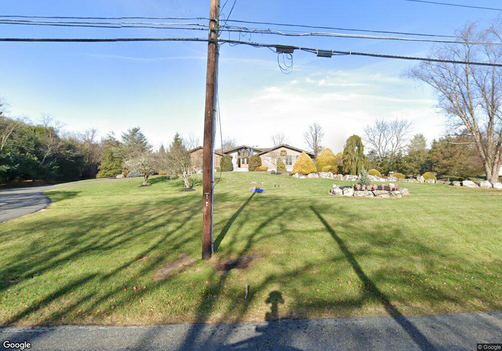
539 Locust Rd Flemington, NJ 08822
Estimated Value: $975,000 - $1,211,000
Studio
--
Bath
6,222
Sq Ft
$171/Sq Ft
Est. Value
About This Home
This home is located at 539 Locust Rd, Flemington, NJ 08822 and is currently estimated at $1,062,591, approximately $170 per square foot. 539 Locust Rd is a home located in Hunterdon County with nearby schools including Hunterdon Central Regional High School District.
Ownership History
Date
Name
Owned For
Owner Type
Purchase Details
Closed on
Dec 21, 2011
Sold by
Hawrylo John S and Hawrylo Candance A
Bought by
Danubio John A and Danubio Audrey J
Current Estimated Value
Home Financials for this Owner
Home Financials are based on the most recent Mortgage that was taken out on this home.
Original Mortgage
$419,900
Outstanding Balance
$287,102
Interest Rate
4%
Mortgage Type
New Conventional
Estimated Equity
$775,489
Purchase Details
Closed on
May 27, 1998
Sold by
Wilk Ignacy S
Bought by
Hawrylo John S
Create a Home Valuation Report for This Property
The Home Valuation Report is an in-depth analysis detailing your home's value as well as a comparison with similar homes in the area
Home Values in the Area
Average Home Value in this Area
Purchase History
| Date | Buyer | Sale Price | Title Company |
|---|---|---|---|
| Danubio John A | $699,900 | None Available | |
| Hawrylo John S | $150,000 | -- |
Source: Public Records
Mortgage History
| Date | Status | Borrower | Loan Amount |
|---|---|---|---|
| Open | Danubio John A | $419,900 |
Source: Public Records
Tax History
| Year | Tax Paid | Tax Assessment Tax Assessment Total Assessment is a certain percentage of the fair market value that is determined by local assessors to be the total taxable value of land and additions on the property. | Land | Improvement |
|---|---|---|---|---|
| 2025 | $16,835 | $642,300 | $109,400 | $532,900 |
| 2024 | $16,693 | $642,300 | $109,400 | $532,900 |
Source: Public Records
Map
Nearby Homes
- 2 Constitution Way
- 1072 Barley Sheaf Rd
- 29 Bressler Rd
- 1023 Barley Sheaf Rd
- 978 Rt523
- 113 Cole Rd
- 816 Rt 202
- 1062 County Road 523
- 10 Jacobus Ln
- 1025 523 Route
- 18 Wells Rd
- 11 Newell Rd
- 12 Barnett Rd
- 101 Dreahook Rd
- 91 Briar Way
- 37 Samuel Dr
- 121 Stanton Mountain Rd
- 10 Samuel Dr
- 83 Readington Rd
- 107 Readington Rd
- 541 Locust Rd
- 537 Locust Rd
- 2 Lazy Brook Rd
- 543 Locust Rd
- 1117 Barley Sheaf Rd
- 1121 Barley Sheaf Rd
- 5 Constitution Way
- 542 Locust Rd
- 4 Lazy Brook Rd
- 3 Lazy Brook Rd
- 3 Constitution Way
- 535 Locust Rd
- 538 Locust Rd
- 6 Lazy Brook Rd
- 5 Lazy Brook Rd
- 4 Constitution Way
- 1 Constitution Way
- 7 Constitution Way
- 30 Partridge Rd
- 533 Locust Rd