539 Monticello Cir Locust Grove, VA 22508
Estimated Value: $322,576 - $365,000
3
Beds
2
Baths
1,652
Sq Ft
$211/Sq Ft
Est. Value
About This Home
This home is located at 539 Monticello Cir, Locust Grove, VA 22508 and is currently estimated at $349,394, approximately $211 per square foot. 539 Monticello Cir is a home located in Orange County with nearby schools including Locust Grove Primary School, Locust Grove Elementary School, and Locust Grove Middle School.
Ownership History
Date
Name
Owned For
Owner Type
Purchase Details
Closed on
Apr 16, 2013
Sold by
Herron Philip and Herron Betty
Bought by
Herron Philip and Herron Betty
Current Estimated Value
Purchase Details
Closed on
Aug 1, 2011
Sold by
Federal Home Loan Mortgage Corporation
Bought by
Herron Philip and Herron Betty
Purchase Details
Closed on
Aug 31, 2010
Sold by
Swart Robert and Swart Rae Lynn
Bought by
Federal Home Loan Mortgage Corp
Create a Home Valuation Report for This Property
The Home Valuation Report is an in-depth analysis detailing your home's value as well as a comparison with similar homes in the area
Home Values in the Area
Average Home Value in this Area
Purchase History
| Date | Buyer | Sale Price | Title Company |
|---|---|---|---|
| Herron Philip | -- | None Available | |
| Herron Philip | $60,000 | None Available | |
| Federal Home Loan Mortgage Corp | $153,398 | None Available |
Source: Public Records
Tax History Compared to Growth
Tax History
| Year | Tax Paid | Tax Assessment Tax Assessment Total Assessment is a certain percentage of the fair market value that is determined by local assessors to be the total taxable value of land and additions on the property. | Land | Improvement |
|---|---|---|---|---|
| 2025 | $1,391 | $178,300 | $30,000 | $148,300 |
| 2024 | $1,391 | $178,300 | $30,000 | $148,300 |
| 2023 | $1,391 | $178,300 | $30,000 | $148,300 |
| 2022 | $1,391 | $178,300 | $30,000 | $148,300 |
| 2021 | $1,336 | $185,500 | $30,000 | $155,500 |
| 2020 | $1,336 | $185,500 | $30,000 | $155,500 |
| 2019 | $1,311 | $163,000 | $30,000 | $133,000 |
| 2018 | $1,311 | $163,000 | $30,000 | $133,000 |
| 2017 | $1,311 | $163,000 | $30,000 | $133,000 |
| 2016 | $1,311 | $163,000 | $30,000 | $133,000 |
| 2015 | $976 | $142,500 | $30,000 | $112,500 |
| 2014 | $976 | $142,500 | $30,000 | $112,500 |
Source: Public Records
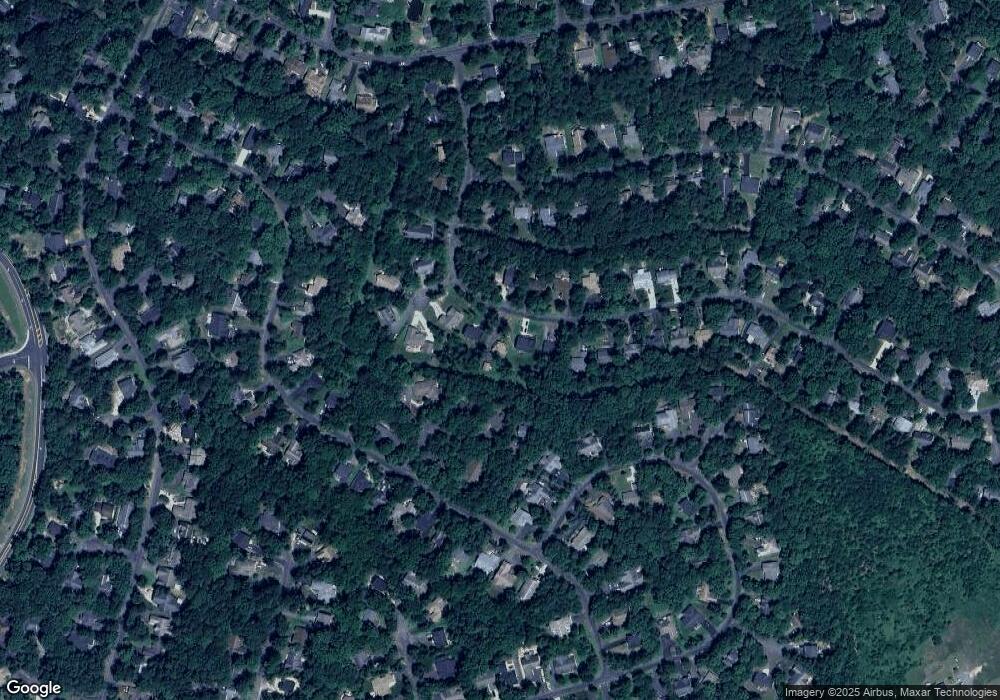
Map
Nearby Homes
- 537 Monticello Cir
- 203 Battlefield Rd
- 518 Monticello Cir
- 109 Aspen Ct
- 2606 Lakeview Pkwy
- 112 Butler Cir
- 108 Confederate Cir
- 111 Butler Cir
- 104 Butler Cir
- 502 Monticello Cir
- 118 Confederate Cir
- 102 Monroe St
- 101 Monticello Cir
- 135 Monticello Cir
- 308 Harrison Cir
- 0 Gold Dale Rd Unit VAOR2012618
- 3114 Lakeview Pkwy
- 405 Harrison Cir
- 604 Stratford Cir
- 323 Stratford Cir
- 541 Monticello Cir
- 535 Monticello Cir
- 104 Elm Ct
- 101 Dogwood Ct
- 536 Monticello Cir
- 540 Monticello Cir
- 533 Monticello Cir
- 1312 Confederate Dr
- 103 Dogwood Ct
- 534 Monticello Cir
- 105 Elm Ct
- 102 Elm Ct
- 600 Monticello Cir
- 100 Dogwood Ct
- 531 Monticello Cir
- 104 Dogwood Ct
- 532 Monticello Cir
- 1306 Confederate Dr
- 100 Elm Ct
- 1310 Confederate Dr