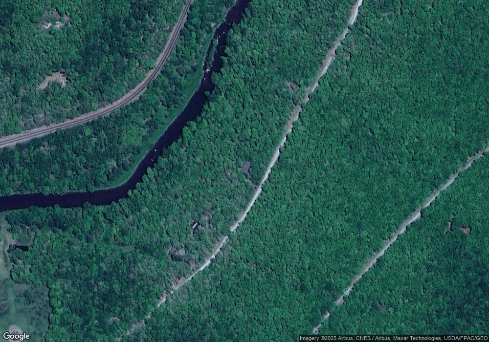
539 Pine Top Trail Oakland, MD 21550
Estimated Value: $616,000 - $941,000
--
Bed
--
Bath
2,976
Sq Ft
$257/Sq Ft
Est. Value
About This Home
This home is located at 539 Pine Top Trail, Oakland, MD 21550 and is currently estimated at $765,783, approximately $257 per square foot. 539 Pine Top Trail is a home located in Garrett County with nearby schools including Crellin Elementary School, Southern Middle School, and Southern Garrett High School.
Ownership History
Date
Name
Owned For
Owner Type
Purchase Details
Closed on
Sep 13, 2002
Sold by
Durrant Robert E and Durrant Sally H
Bought by
Strain Paul F and Strain Sharon H
Current Estimated Value
Purchase Details
Closed on
Jul 3, 1990
Sold by
Patten Corporation Mid Atlantic
Bought by
Durrant Robert E and Durrant Sally H
Home Financials for this Owner
Home Financials are based on the most recent Mortgage that was taken out on this home.
Original Mortgage
$31,500
Interest Rate
10.15%
Create a Home Valuation Report for This Property
The Home Valuation Report is an in-depth analysis detailing your home's value as well as a comparison with similar homes in the area
Home Values in the Area
Average Home Value in this Area
Purchase History
| Date | Buyer | Sale Price | Title Company |
|---|---|---|---|
| Strain Paul F | $40,000 | -- | |
| Durrant Robert E | $35,000 | -- |
Source: Public Records
Mortgage History
| Date | Status | Borrower | Loan Amount |
|---|---|---|---|
| Previous Owner | Durrant Robert E | $31,500 |
Source: Public Records
Tax History Compared to Growth
Tax History
| Year | Tax Paid | Tax Assessment Tax Assessment Total Assessment is a certain percentage of the fair market value that is determined by local assessors to be the total taxable value of land and additions on the property. | Land | Improvement |
|---|---|---|---|---|
| 2025 | $6,468 | $568,700 | $44,300 | $524,400 |
| 2024 | $6,264 | $533,733 | $0 | $0 |
| 2023 | $5,856 | $498,767 | $0 | $0 |
| 2022 | $5,447 | $463,800 | $41,200 | $422,600 |
| 2021 | $5,447 | $463,767 | $0 | $0 |
| 2020 | $5,416 | $463,733 | $0 | $0 |
| 2019 | $5,446 | $463,700 | $41,200 | $422,500 |
| 2018 | $5,140 | $463,700 | $41,200 | $422,500 |
| 2017 | $5,140 | $463,700 | $0 | $0 |
| 2016 | -- | $484,200 | $0 | $0 |
| 2015 | -- | $484,200 | $0 | $0 |
| 2014 | -- | $484,200 | $0 | $0 |
Source: Public Records
Map
Nearby Homes
- 104 Pine Top Trail
- 0 Yough View Dr Unit 12 MDGA2009840
- 5202 Hutton Rd
- 627 Hamill St
- 3893 Underwood Rd
- 0 Sam Snead Cir Unit 1 MDGA2010358
- 0 Crosby Dr Unit 64/65
- 697 Monte Vista Rd
- 503 E Alder St
- 511 E Green St
- 62 Crosby Dr
- 611 E Oak St
- 0 Sanders Ln Unit MDGA2009314
- 968 Hutton Rd
- 0 8th & Dennett Road St Unit MDGA2009886
- 315 Coolidge Ave
- 163 Mitchell Dr
- 1056 Sunrise Dr
- 163 Crestview Dr
- 11 Sunset Dr
- 0 Pine Top Trail
- 485 Pine Top Trail
- 709 Pine Top Trail
- 425 Pine Top Trail
- 157 Allegro Ln
- LOT 55 Tall Oaks Dr
- 383 Tall Oaks Dr
- 335 Pine Top Trail
- 164 Allegro Ln
- 85 Allegro Ln
- 350 Tall Oaks Dr
- 160 Allegro Ln
- 911 Pine Top Trail
- 658 Tall Oaks Dr
- 17 Allegro Ln
- 293 Pine Top Trail
- 951 Pine Top Trail
- 23 Allegro Ln
- 68 Allegro Ln
- 222 Tall Oaks Dr
