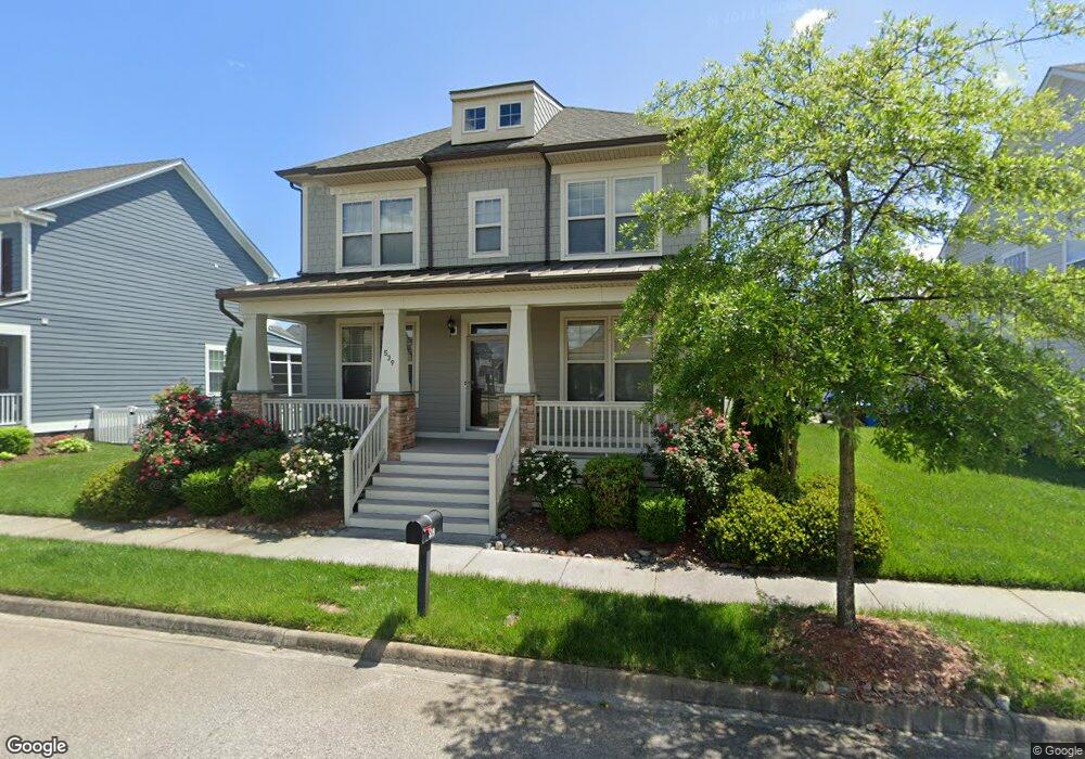
539 Robert Frost Rd Chesapeake, VA 23323
Culpepper Landing NeighborhoodEstimated Value: $644,034
5
Beds
4
Baths
2,793
Sq Ft
$231/Sq Ft
Est. Value
About This Home
This home is located at 539 Robert Frost Rd, Chesapeake, VA 23323 and is currently estimated at $644,034, approximately $230 per square foot. 539 Robert Frost Rd is a home located in Chesapeake City with nearby schools including Deep Creek Central Elementary School, Deep Creek Middle School, and Deep Creek High.
Ownership History
Date
Name
Owned For
Owner Type
Purchase Details
Closed on
Mar 21, 2014
Sold by
Hhhunt Homes Hampton Roads Llc
Bought by
Wiggins Robert M
Current Estimated Value
Home Financials for this Owner
Home Financials are based on the most recent Mortgage that was taken out on this home.
Original Mortgage
$349,830
Outstanding Balance
$264,452
Interest Rate
4.27%
Mortgage Type
VA
Estimated Equity
$379,582
Purchase Details
Closed on
Oct 17, 2013
Sold by
Culpepper Landing Lc
Bought by
Hhhunt Homes Hampton Roads Lc
Create a Home Valuation Report for This Property
The Home Valuation Report is an in-depth analysis detailing your home's value as well as a comparison with similar homes in the area
Home Values in the Area
Average Home Value in this Area
Purchase History
| Date | Buyer | Sale Price | Title Company |
|---|---|---|---|
| Wiggins Robert M | $349,830 | -- | |
| Hhhunt Homes Hampton Roads Lc | $85,000 | -- |
Source: Public Records
Mortgage History
| Date | Status | Borrower | Loan Amount |
|---|---|---|---|
| Open | Wiggins Robert M | $349,830 |
Source: Public Records
Tax History Compared to Growth
Tax History
| Year | Tax Paid | Tax Assessment Tax Assessment Total Assessment is a certain percentage of the fair market value that is determined by local assessors to be the total taxable value of land and additions on the property. | Land | Improvement |
|---|---|---|---|---|
| 2025 | -- | $545,300 | $150,000 | $395,300 |
| 2024 | -- | $535,700 | $150,000 | $385,700 |
| 2023 | -- | $523,600 | $140,000 | $383,600 |
| 2022 | -- | $496,200 | $130,000 | $366,200 |
| 2021 | -- | $429,300 | $110,000 | $319,300 |
| 2020 | $0 | $405,100 | $100,000 | $305,100 |
| 2019 | $3,676 | $405,100 | $100,000 | $305,100 |
| 2018 | $3,676 | $405,100 | $100,000 | $305,100 |
| 2017 | $3,676 | $350,100 | $85,000 | $265,100 |
| 2016 | $3,676 | $350,100 | $85,000 | $265,100 |
| 2015 | $3,812 | $363,000 | $85,000 | $278,000 |
| 2014 | $3,736 | $355,800 | $85,000 | $270,800 |
Source: Public Records
Map
Nearby Homes
- 3115 Conservancy Dr
- 3216 Meanley Dr
- 3308 Patrick Henry Dr
- 3111 Yuban St
- 3009 Patrick Henry Dr
- 709 Phalarope St
- 3122 Old Rock St
- 828 Olmstead St
- 3108 Old Rock St
- 958 Olmstead St
- 743 Arbuckle St
- 929 Skicoat St
- 3101 Holly Ridge Dr
- 212 Andiron Arch
- 421 Willow Bend Dr
- 253 George Washington Hwy S
- 3013 Bertram St
- 3520 Parr Ln
- 3613 Weiss Ln
- 185 George Washington Hwy S
- 541 Robert Frost Rd
- 543 Robert Frost Rd
- 537 Robert Frost Rd
- 552 Mill Creek Pkwy
- 554 Mill Creek Pkwy
- 533 Robert Frost Rd
- 548 Mill Creek Pkwy
- 540 Robert Frost Rd
- 542 Robert Frost Rd
- 536 Robert Frost Rd
- 544 Mill Creek Pkwy Unit Pkwy
- 544 Mill Creek Pkwy
- 601 Robert Frost Rd
- 542 Mill Creek Pkwy
- 532 Robert Frost Rd
- 600 Mill Creek Pkwy
- 3109 Mercantile St Unit COR
- 3109 Mercantile St
- 3105 Mercantile St
- 3216 Patrick Henry Dr