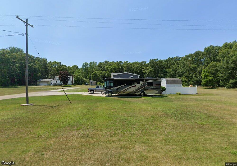
539 S Dangl Rd Muskegon, MI 49442
Estimated Value: $287,000 - $326,000
--
Bed
2
Baths
1,728
Sq Ft
$173/Sq Ft
Est. Value
About This Home
This home is located at 539 S Dangl Rd, Muskegon, MI 49442 and is currently estimated at $299,156, approximately $173 per square foot. 539 S Dangl Rd is a home located in Muskegon County with nearby schools including Orchard View Early Elementary School, Cardinal Elementary School, and Orchard View Middle School.
Ownership History
Date
Name
Owned For
Owner Type
Purchase Details
Closed on
Sep 30, 2025
Sold by
Hamilton Mildred and Hopson Frankie
Bought by
Fox Debbie
Current Estimated Value
Purchase Details
Closed on
Aug 9, 2023
Sold by
Briggs Gregory
Bought by
Hamilton Mildred E and Hopson Frankie L
Purchase Details
Closed on
Nov 8, 2011
Sold by
Briggs Gregory B
Bought by
Briggs Gregory B
Purchase Details
Closed on
Sep 2, 2011
Sold by
Briggs Cora T
Bought by
Briggs Gregory B
Create a Home Valuation Report for This Property
The Home Valuation Report is an in-depth analysis detailing your home's value as well as a comparison with similar homes in the area
Home Values in the Area
Average Home Value in this Area
Purchase History
| Date | Buyer | Sale Price | Title Company |
|---|---|---|---|
| Fox Debbie | -- | None Listed On Document | |
| Hamilton Mildred E | -- | None Listed On Document | |
| Hamilton Mildred E | -- | None Listed On Document | |
| Briggs Gregory B | -- | None Available | |
| Briggs Gregory B | -- | None Available |
Source: Public Records
Tax History Compared to Growth
Tax History
| Year | Tax Paid | Tax Assessment Tax Assessment Total Assessment is a certain percentage of the fair market value that is determined by local assessors to be the total taxable value of land and additions on the property. | Land | Improvement |
|---|---|---|---|---|
| 2025 | $4,017 | $135,300 | $0 | $0 |
| 2024 | $817 | $123,900 | $0 | $0 |
| 2023 | $781 | $105,600 | $0 | $0 |
| 2022 | $4,296 | $91,800 | $0 | $0 |
| 2021 | $4,158 | $82,300 | $0 | $0 |
| 2020 | $3,334 | $64,900 | $0 | $0 |
| 2019 | $3,344 | $55,900 | $0 | $0 |
| 2018 | $3,193 | $54,100 | $0 | $0 |
| 2017 | $2,182 | $53,300 | $0 | $0 |
| 2016 | $521 | $49,200 | $0 | $0 |
| 2015 | -- | $46,100 | $0 | $0 |
| 2014 | -- | $46,200 | $0 | $0 |
| 2013 | -- | $43,100 | $0 | $0 |
Source: Public Records
Map
Nearby Homes
- 3172 Hall Rd
- 2756 Marquette Ave
- 3186 E Apple Ave
- 2916 E Apple Ave
- 3110 Meyers Dr
- 110 Willow Wood Dr
- 415 S Densmore St
- 123 Darwin Dr
- 470 S Sheridan Dr
- 3861 Forest Edge Rd
- 16 S Densmore St
- 2369 James Ave
- 687 S Sheridan Dr
- 3884 E Apple Ave
- 2770 Macarthur Rd
- 30 S Sheridan Dr
- 3486 Polonaise Dr
- 170 S Brooks Rd
- 1476 Frost St
- 1525 S Dangl Rd