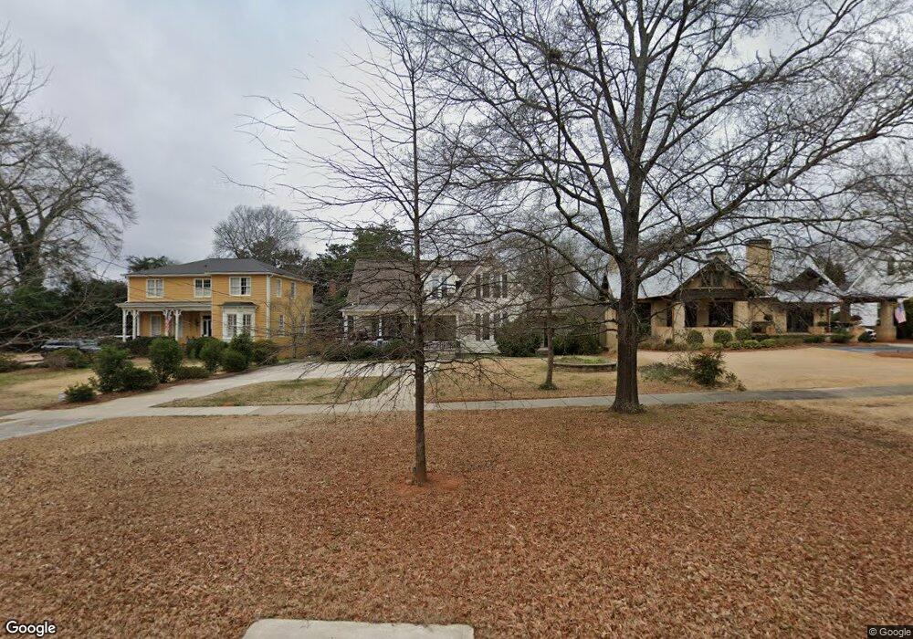
539 S Hill St Griffin, GA 30224
Spalding County NeighborhoodEstimated Value: $338,955 - $421,000
7
Beds
2
Baths
2,661
Sq Ft
$139/Sq Ft
Est. Value
About This Home
This home is located at 539 S Hill St, Griffin, GA 30224 and is currently estimated at $370,989, approximately $139 per square foot. 539 S Hill St is a home located in Spalding County with nearby schools including Crescent Road Elementary School, Rehoboth Road Middle School, and Griffin High School.
Ownership History
Date
Name
Owned For
Owner Type
Purchase Details
Closed on
Sep 4, 2020
Sold by
Statham Michael P
Bought by
Bauries Robert
Current Estimated Value
Purchase Details
Closed on
Mar 16, 1987
Sold by
Statham Richard E
Bought by
Statham Michael P
Purchase Details
Closed on
Sep 27, 1967
Sold by
Arnall Mrs Dollie H
Bought by
Statham Richard E
Purchase Details
Closed on
Oct 6, 1937
Bought by
Arnall Mrs Dollie H
Create a Home Valuation Report for This Property
The Home Valuation Report is an in-depth analysis detailing your home's value as well as a comparison with similar homes in the area
Home Values in the Area
Average Home Value in this Area
Purchase History
| Date | Buyer | Sale Price | Title Company |
|---|---|---|---|
| Bauries Robert | $55,000 | -- | |
| Statham Michael P | $15,000 | -- | |
| Statham Richard E | $15,400 | -- | |
| Arnall Mrs Dollie H | -- | -- |
Source: Public Records
Tax History Compared to Growth
Tax History
| Year | Tax Paid | Tax Assessment Tax Assessment Total Assessment is a certain percentage of the fair market value that is determined by local assessors to be the total taxable value of land and additions on the property. | Land | Improvement |
|---|---|---|---|---|
| 2024 | $4,265 | $111,692 | $16,000 | $95,692 |
| 2023 | $4,265 | $108,259 | $16,000 | $92,259 |
| 2022 | $3,866 | $96,749 | $16,000 | $80,749 |
| 2021 | $2,926 | $73,207 | $16,000 | $57,207 |
| 2020 | $2,522 | $73,016 | $16,000 | $57,016 |
| 2019 | $2,568 | $73,016 | $16,000 | $57,016 |
| 2018 | $1,105 | $31,940 | $8,000 | $23,940 |
| 2017 | $1,242 | $35,940 | $12,000 | $23,940 |
| 2016 | $1,261 | $35,940 | $12,000 | $23,940 |
| 2015 | $1,433 | $35,940 | $12,000 | $23,940 |
| 2014 | $1,476 | $35,940 | $12,000 | $23,940 |
Source: Public Records
Map
Nearby Homes
- 523 S 6th St
- 115 Kennelsman Dr Unit LOT FC 1
- 541 S 6th St
- 18 Terracedale Ct
- 134 Townsend Ct
- 650 S Hill St
- 40 Terrace St
- 320 S 12th St
- 304 Tilney Ave
- 102 N Hill St Unit 304
- 102 N Hill St Unit 303
- 706 Maple Dr
- 714 Maple Dr
- 406 E Solomon St
- 811 Westbrook St
- 754 Scales St
- 218 W Central Ave
- 731 Scales St
- 717 Scales St
- 216 N 6th St