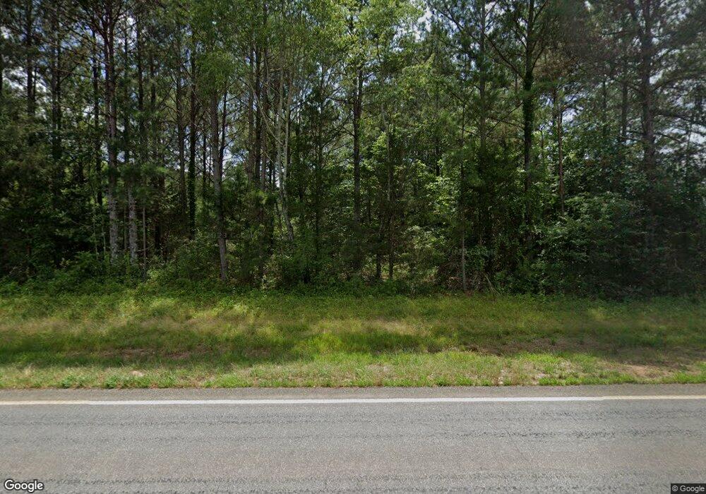
539 Shady Dale Rd Eatonton, GA 31024
Estimated Value: $81,138 - $222,000
3
Beds
2
Baths
1,456
Sq Ft
$99/Sq Ft
Est. Value
About This Home
This home is located at 539 Shady Dale Rd, Eatonton, GA 31024 and is currently estimated at $143,535, approximately $98 per square foot. 539 Shady Dale Rd is a home with nearby schools including Putnam County Primary School, Putnam County Elementary School, and Putnam County Middle School.
Ownership History
Date
Name
Owned For
Owner Type
Purchase Details
Closed on
Apr 14, 2015
Sold by
Smith Glynn K
Bought by
Griffith Johnny
Current Estimated Value
Home Financials for this Owner
Home Financials are based on the most recent Mortgage that was taken out on this home.
Original Mortgage
$21,826
Interest Rate
3.87%
Mortgage Type
New Conventional
Purchase Details
Closed on
May 25, 1981
Bought by
Smith J K
Create a Home Valuation Report for This Property
The Home Valuation Report is an in-depth analysis detailing your home's value as well as a comparison with similar homes in the area
Home Values in the Area
Average Home Value in this Area
Purchase History
| Date | Buyer | Sale Price | Title Company |
|---|---|---|---|
| Griffith Johnny | $20,000 | -- | |
| Smith Glynn K | -- | -- | |
| Smith J K | $4,000 | -- |
Source: Public Records
Mortgage History
| Date | Status | Borrower | Loan Amount |
|---|---|---|---|
| Closed | Smith Glynn K | $21,826 |
Source: Public Records
Tax History Compared to Growth
Tax History
| Year | Tax Paid | Tax Assessment Tax Assessment Total Assessment is a certain percentage of the fair market value that is determined by local assessors to be the total taxable value of land and additions on the property. | Land | Improvement |
|---|---|---|---|---|
| 2024 | $271 | $15,758 | $15,248 | $510 |
| 2023 | $271 | $26,517 | $0 | $26,517 |
| 2022 | $196 | $9,763 | $9,297 | $466 |
| 2021 | $301 | $13,199 | $12,733 | $466 |
| 2020 | $320 | $13,205 | $12,733 | $472 |
| 2019 | $253 | $10,282 | $8,608 | $1,674 |
| 2018 | $257 | $10,282 | $8,608 | $1,674 |
| 2017 | $232 | $10,282 | $8,608 | $1,674 |
| 2016 | $232 | $10,282 | $8,608 | $1,674 |
| 2015 | $121 | $5,562 | $4,608 | $954 |
| 2014 | -- | $5,562 | $4,608 | $954 |
Source: Public Records
Map
Nearby Homes
- 0 Shady Dale Rd NW Unit 23668137
- 0 Shady Dale Rd NW Unit 23668136
- 0 Aikenton Rd Unit 10602329
- LOT 18 Shady Farm Rd
- 6.04 ac Linchburg Rd NW
- 0 Wyatt Rd Unit 10602326
- 0 Apt-To-miss Unit 10617498
- 452 Aikenton Rd
- 202 Sage Ct
- 630 S Railroad St
- 0 Georgia 142 Unit B-1 (S-1)
- 0 Georgia 142 Unit B-2 (S-1)
- 22631 N Main St
- 162 Tuggle Rd
- 862 Monticello Rd
- 400 Wehunt Rd
- 0 Wehunt Rd Unit 10623935
- LOT 71 Monticello Rd
- 108 Cherry Ln
- 0 Monticello Rd Unit 52043
- 826 Glades Rd
- 524 Shady Dale Rd
- 549 Shady Dale Rd
- 520 Shady Dale Rd
- 836 Glades Rd
- 817 Glades Rd
- 842 Glades Rd
- 846 Glades Rd
- 497 Shady Dale Rd Unit 3
- 497 Shady Dale Rd
- 858 Glades Rd
- 843 Glades Rd
- 843 Glades Rd
- 843 Glades Rd
- 565 Shady Dale Rd
- 769 Glades Rd
- 463 Shady Dale Rd
- 479 Shady Dale Rd
- 869 Glades Rd
- 874 Glades Rd
