5390 Linmac Farm Rd Oakboro, NC 28129
Estimated Value: $340,000 - $1,507,190
2
Beds
1
Bath
1,120
Sq Ft
$825/Sq Ft
Est. Value
About This Home
This home is located at 5390 Linmac Farm Rd, Oakboro, NC 28129 and is currently estimated at $923,595, approximately $824 per square foot. 5390 Linmac Farm Rd is a home with nearby schools including Stanfield Elementary School, West Stanly Middle School, and West Stanly High School.
Ownership History
Date
Name
Owned For
Owner Type
Purchase Details
Closed on
May 18, 2016
Sold by
Mcintyre Luther B and Mcintyre Anne E
Bought by
Mcintyre Luther B and Mcintyre Anne E
Current Estimated Value
Purchase Details
Closed on
Sep 3, 2013
Sold by
S M Smith & Associates Llc
Bought by
Mullis Melinda S and Mullis Christopher M
Purchase Details
Closed on
Apr 12, 2013
Sold by
S M Smith & Associates Llc
Bought by
Smith Michael D and Smith Dana B
Purchase Details
Closed on
Sep 3, 2008
Sold by
S M Smith & Associates Llc
Bought by
Smith Philip Ashley
Home Financials for this Owner
Home Financials are based on the most recent Mortgage that was taken out on this home.
Original Mortgage
$211,000
Interest Rate
6.61%
Mortgage Type
Construction
Purchase Details
Closed on
Feb 21, 2006
Sold by
Suntrust Banks Inc
Bought by
S M Smith & Associates Llc
Create a Home Valuation Report for This Property
The Home Valuation Report is an in-depth analysis detailing your home's value as well as a comparison with similar homes in the area
Home Values in the Area
Average Home Value in this Area
Purchase History
| Date | Buyer | Sale Price | Title Company |
|---|---|---|---|
| Mcintyre Luther B | -- | Attorney | |
| Mcintyre Luther B | $1,500 | Attorney | |
| Mullis Melinda S | -- | None Available | |
| Smith Michael D | -- | None Available | |
| Smith Philip Ashley | -- | None Available | |
| S M Smith & Associates Llc | $935,000 | None Available |
Source: Public Records
Mortgage History
| Date | Status | Borrower | Loan Amount |
|---|---|---|---|
| Previous Owner | Smith Philip Ashley | $211,000 |
Source: Public Records
Tax History Compared to Growth
Tax History
| Year | Tax Paid | Tax Assessment Tax Assessment Total Assessment is a certain percentage of the fair market value that is determined by local assessors to be the total taxable value of land and additions on the property. | Land | Improvement |
|---|---|---|---|---|
| 2025 | $2,345 | $390,793 | $150,472 | $240,321 |
| 2024 | $2,245 | $320,644 | $134,108 | $186,536 |
| 2023 | $2,212 | $320,644 | $134,108 | $186,536 |
| 2022 | $2,245 | $320,644 | $134,108 | $186,536 |
| 2021 | $2,243 | $320,644 | $134,108 | $186,536 |
| 2020 | $1,912 | $252,266 | $119,299 | $132,967 |
| 2019 | $1,927 | $252,266 | $119,299 | $132,967 |
| 2018 | $1,318 | $252,266 | $119,299 | $132,967 |
| 2017 | $1,842 | $252,266 | $119,299 | $132,967 |
| 2016 | $1,658 | $227,095 | $117,982 | $109,113 |
| 2015 | $1,700 | $227,095 | $117,982 | $109,113 |
| 2014 | $1,780 | $227,095 | $117,982 | $109,113 |
Source: Public Records
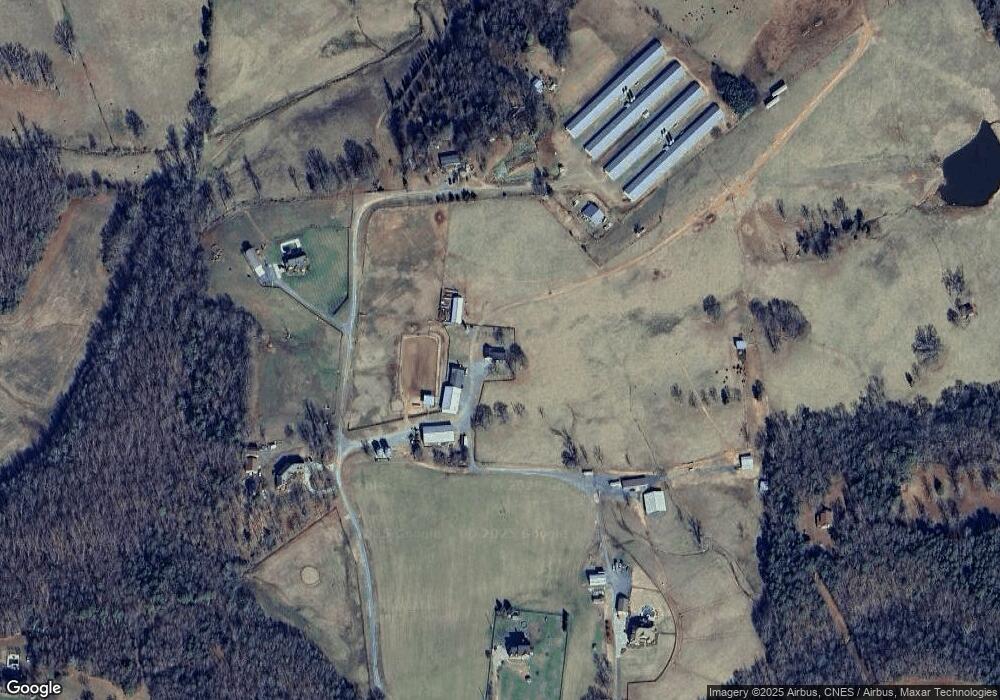
Map
Nearby Homes
- 7718 Pleasant Hill Church Rd
- 6244 Ra Austin Rd
- 155 James Rd
- 7308 Pleasant Hill Church Rd
- 213 Carrie Dr
- 9740 Richard Sandy Rd
- Vac Richard Sandy Rd
- 000 Alonzo Rd
- 0000 Silver Rd
- 8717 Swift Rd
- 13080 Philadelphia Church Rd
- 0 E 8th St Unit CAR4196632
- 15869 Silver Rd
- 646 Scarlet Leaf Ln
- 16433 Silver Rd Unit B
- 7502 Army Rd
- 307 Jaida Ln
- 426 E 10th St Unit 1
- 5401 Army Rd
- 5504 Army Rd
- 5431 Linmac Farm Rd
- 5377 Linmac Farm Rd
- 20229 Old Sandbar Rd
- 20253 Old Sandbar Rd
- 20403 Old Sandbar Rd
- 20191 Old Sandbar Rd
- 20216 Old Sandbar Rd
- 20230 Old Sandbar Rd
- 20321 Old Sandbar Rd
- 20299 Old Sandbar Rd
- 20095 Old Sandbar Rd
- 20254 Old Sandbar Rd
- 20300 Old Sandbar Rd
- 20316 Old Sandbar Rd
- 5344 Rocky River Rd
- 20346 Old Sandbar Rd
- 20449 Old Sandbar Rd
- 5402 Rocky River Rd
- 5390 Rocky River Rd
- 5331 Rocky River Rd