5390 Taylor Rd Norton, OH 44203
Estimated Value: $479,000 - $699,000
3
Beds
2
Baths
3,291
Sq Ft
$183/Sq Ft
Est. Value
About This Home
This home is located at 5390 Taylor Rd, Norton, OH 44203 and is currently estimated at $601,487, approximately $182 per square foot. 5390 Taylor Rd is a home located in Wayne County with nearby schools including Hazel Harvey Elementary School, Chippewa Intermediate School, and Chippewa Jr./Sr. High School.
Ownership History
Date
Name
Owned For
Owner Type
Purchase Details
Closed on
Jun 27, 2017
Sold by
Duncan Ray T & Joan F Trustees
Bought by
Duncan Joan F Trustee
Current Estimated Value
Purchase Details
Closed on
Oct 7, 1991
Sold by
Patrick Thomas A
Bought by
Duncan Ray T and Duncan Joan F
Purchase Details
Closed on
Dec 13, 1989
Sold by
Hedlund Robert H and Hedlund Barbar
Bought by
Patrick Thomas A
Create a Home Valuation Report for This Property
The Home Valuation Report is an in-depth analysis detailing your home's value as well as a comparison with similar homes in the area
Home Values in the Area
Average Home Value in this Area
Purchase History
| Date | Buyer | Sale Price | Title Company |
|---|---|---|---|
| Duncan Joan F Trustee | -- | -- | |
| Duncan Ray T | $23,000 | -- | |
| Patrick Thomas A | $15,000 | -- |
Source: Public Records
Tax History Compared to Growth
Tax History
| Year | Tax Paid | Tax Assessment Tax Assessment Total Assessment is a certain percentage of the fair market value that is determined by local assessors to be the total taxable value of land and additions on the property. | Land | Improvement |
|---|---|---|---|---|
| 2024 | $7,096 | $214,210 | $23,250 | $190,960 |
| 2023 | $7,096 | $214,210 | $23,250 | $190,960 |
| 2022 | $5,225 | $146,730 | $15,930 | $130,800 |
| 2021 | $5,236 | $146,730 | $15,930 | $130,800 |
| 2020 | $5,268 | $146,730 | $15,930 | $130,800 |
| 2019 | $5,210 | $140,450 | $14,510 | $125,940 |
| 2018 | $5,261 | $140,450 | $14,510 | $125,940 |
| 2017 | $5,217 | $140,450 | $14,510 | $125,940 |
| 2016 | $5,072 | $135,050 | $13,950 | $121,100 |
| 2015 | $5,082 | $135,050 | $13,950 | $121,100 |
| 2014 | $4,463 | $135,050 | $13,950 | $121,100 |
| 2013 | $4,476 | $131,780 | $13,330 | $118,450 |
Source: Public Records
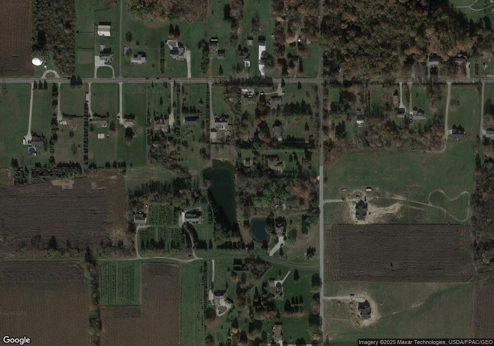
Map
Nearby Homes
- 5464 Taylor Rd
- 5264 Taylor Rd
- 404 31st St SW
- 1480 Maple St
- 266 35th St SW
- 14740 Oak Grove Dr Unit 41
- 000 Haynes Ave
- 1448 Noble Ave
- 132 31st St SW
- 100 Meadow Ct
- 15562 Portage St
- 3241 Grill Rd
- 1361 Prospect St
- V/L Benton
- 1371 Benton St
- 1216 Stratford St
- 1450 Wooster Rd W
- 18100 Grill Rd
- 4666 Roop Ave
- 4658 Krancz Dr
- 5410 Taylor Rd
- 5372 Taylor Rd
- 5432 Taylor Rd
- 3464 Eastern Rd
- 3414 Eastern Rd
- 5405 Taylor Rd
- 3400 Eastern Rd
- 5327 Taylor Rd
- 3443 Eastern Rd
- 5468 Taylor Rd
- 3388 Eastern Rd
- lot #95 Eastern Rd
- 3500 Eastern Rd
- 3469 Eastern Rd
- 5450 Taylor Rd
- 5316 Taylor Rd
- 3481 Eastern Rd
- 0 Eastern Rd Unit 3889401
- 0 Eastern Rd Unit 3896368
- 0 Eastern Rd Unit 4096940