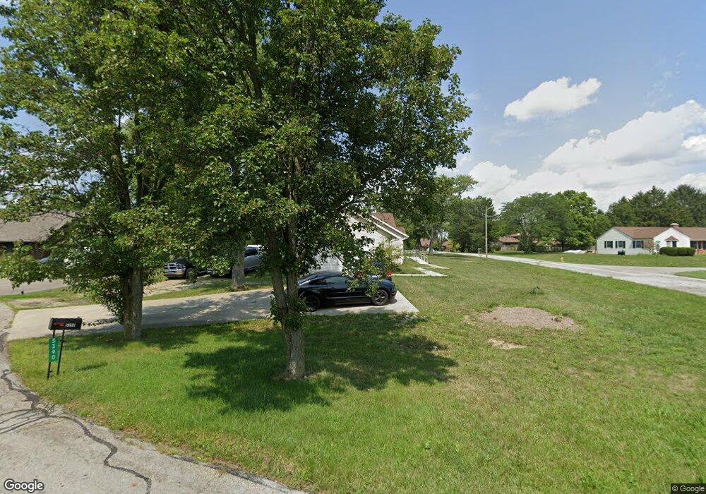
5390 Timberlake Cir Orient, OH 43146
Estimated Value: $379,000 - $415,000
4
Beds
4
Baths
1,986
Sq Ft
$198/Sq Ft
Est. Value
About This Home
This home is located at 5390 Timberlake Cir, Orient, OH 43146 and is currently estimated at $393,404, approximately $198 per square foot. 5390 Timberlake Cir is a home located in Franklin County with nearby schools including Darbydale Elementary School, Hayes Intermediate School, and Pleasant View Middle School.
Ownership History
Date
Name
Owned For
Owner Type
Purchase Details
Closed on
Apr 17, 2001
Sold by
Murib Radi
Bought by
Kelley Paul W
Current Estimated Value
Home Financials for this Owner
Home Financials are based on the most recent Mortgage that was taken out on this home.
Original Mortgage
$158,100
Outstanding Balance
$58,412
Interest Rate
7.05%
Mortgage Type
VA
Estimated Equity
$334,992
Purchase Details
Closed on
Aug 19, 1993
Purchase Details
Closed on
Oct 1, 1984
Create a Home Valuation Report for This Property
The Home Valuation Report is an in-depth analysis detailing your home's value as well as a comparison with similar homes in the area
Home Values in the Area
Average Home Value in this Area
Purchase History
| Date | Buyer | Sale Price | Title Company |
|---|---|---|---|
| Kelley Paul W | $155,000 | Independent Title | |
| -- | $116,000 | -- | |
| -- | $73,500 | -- |
Source: Public Records
Mortgage History
| Date | Status | Borrower | Loan Amount |
|---|---|---|---|
| Open | Kelley Paul W | $158,100 |
Source: Public Records
Tax History Compared to Growth
Tax History
| Year | Tax Paid | Tax Assessment Tax Assessment Total Assessment is a certain percentage of the fair market value that is determined by local assessors to be the total taxable value of land and additions on the property. | Land | Improvement |
|---|---|---|---|---|
| 2024 | $4,855 | $118,230 | $26,950 | $91,280 |
| 2023 | $4,374 | $118,230 | $26,950 | $91,280 |
| 2022 | $4,340 | $86,770 | $20,720 | $66,050 |
| 2021 | $4,417 | $86,770 | $20,720 | $66,050 |
| 2020 | $4,396 | $86,770 | $20,720 | $66,050 |
| 2019 | $4,307 | $75,850 | $18,030 | $57,820 |
| 2018 | $3,642 | $75,850 | $18,030 | $57,820 |
| 2017 | $4,274 | $75,850 | $18,030 | $57,820 |
| 2016 | $2,995 | $51,560 | $10,260 | $41,300 |
| 2015 | $2,994 | $51,560 | $10,260 | $41,300 |
| 2014 | $2,942 | $51,560 | $10,260 | $41,300 |
| 2013 | $1,695 | $57,295 | $11,410 | $45,885 |
Source: Public Records
Map
Nearby Homes
- 5326 Sandpiper Dr
- 6446 Harrisburg Pike
- 4742 London Groveport Rd
- 7879 Railroad St
- 6628 London Groveport Rd
- 5981 Main St
- 6106 London Groveport Rd Unit C9
- 7758 Darby Creek Rd
- 0 Gay Rd Unit Tract 5 224043837
- 5244 Lambert Rd
- 6244 London Groveport Rd Unit 96
- 6244 London Groveport Rd Unit 8
- 6616 London Groveport Rd
- 5965 Harrisburg Georgesville Rd Unit Lot 156
- 5965 Harrisburg Georgesville Rd Unit 174
- 7025 Iris Dr
- 6971 London Groveport Rd
- 1003 Bumblebee End Ln
- 5653 Norton Rd
- 1010 Morning Bird Ct
- 6712 Red Wing Ct
- 5382 Timberlake Cir
- 6712 Redwing Ct
- 6704 Red Wing Ct
- 6704 Redwing Ct
- 5300 Sandpiper Dr
- 5414 Timberlake Cir
- 5291 Sandpiper Dr
- 5349 Pheasant Dr
- 6707 Redwing Ct
- 5401 Timberlake Cir
- 5387 Pheasant Dr
- 5323 Pheasant Dr
- 5413 Timberlake Cir
- 5422 Timberlake Cir
- 6714 Bluebird Dr
- 5306 Sandpiper Dr
- 5348 Pheasant Dr
- 5303 Sandpiper Dr
- 5411 Pheasant Dr