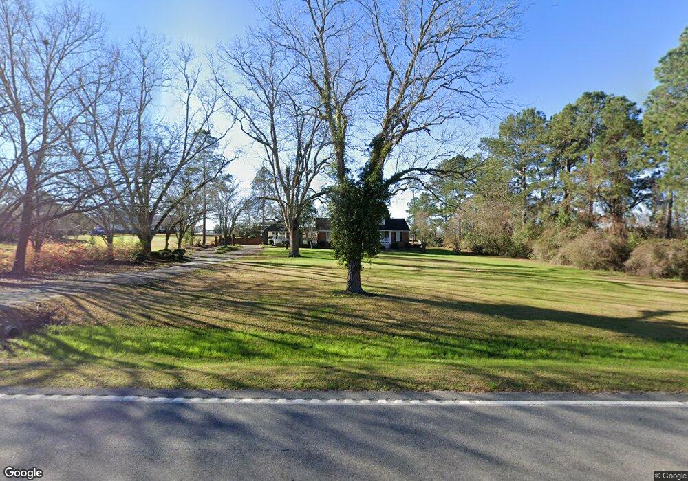
5391 Ga Highway 37 W Hartsfield, GA 31756
Estimated Value: $254,091 - $433,000
--
Bed
2
Baths
2,396
Sq Ft
$137/Sq Ft
Est. Value
About This Home
This home is located at 5391 Ga Highway 37 W, Hartsfield, GA 31756 and is currently estimated at $327,773, approximately $136 per square foot. 5391 Ga Highway 37 W is a home located in Colquitt County with nearby schools including Funston Elementary School, C.A. Gray Junior High School, and Willie J. Williams Middle School.
Ownership History
Date
Name
Owned For
Owner Type
Purchase Details
Closed on
Feb 27, 2015
Sold by
Demott Richard E
Bought by
Demott Brenda K
Current Estimated Value
Purchase Details
Closed on
Jun 30, 1993
Bought by
Demott Brenda K
Create a Home Valuation Report for This Property
The Home Valuation Report is an in-depth analysis detailing your home's value as well as a comparison with similar homes in the area
Home Values in the Area
Average Home Value in this Area
Purchase History
| Date | Buyer | Sale Price | Title Company |
|---|---|---|---|
| Demott Brenda K | -- | -- | |
| Demott Brenda K | -- | -- |
Source: Public Records
Tax History Compared to Growth
Tax History
| Year | Tax Paid | Tax Assessment Tax Assessment Total Assessment is a certain percentage of the fair market value that is determined by local assessors to be the total taxable value of land and additions on the property. | Land | Improvement |
|---|---|---|---|---|
| 2024 | $1,956 | $95,187 | $2,291 | $92,896 |
| 2023 | $2,007 | $70,144 | $2,291 | $67,853 |
| 2022 | $1,488 | $62,512 | $2,036 | $60,476 |
| 2021 | $1,378 | $56,746 | $2,036 | $54,710 |
| 2020 | $1,402 | $56,746 | $2,036 | $54,710 |
| 2019 | $1,321 | $50,039 | $2,036 | $48,003 |
| 2018 | $1,280 | $50,039 | $2,036 | $48,003 |
| 2017 | $1,339 | $51,211 | $3,208 | $48,003 |
| 2016 | $1,493 | $56,136 | $3,208 | $52,928 |
| 2015 | $1,507 | $56,136 | $3,208 | $52,928 |
| 2014 | $1,479 | $56,136 | $3,208 | $52,928 |
| 2013 | -- | $56,136 | $3,207 | $52,928 |
Source: Public Records
Map
Nearby Homes
- 1485 Bay Rd
- Lot 45 Fox Trot Dr
- LOT 52 Fox Trot Dr
- LOT 58 Fox Trot Dr
- LOT 56 Fox Trot Dr
- LOT 54 Fox Trot Dr
- 0 Fox Trot Dr
- LOT 53 Fox Trot Dr
- LOT 55 Fox Trot Dr
- 0 Kendallwood Dr Unit 1652301
- LOT 29 Merganser Ln
- LOT 32 Merganser Ln
- LOT 28 Merganser Ln
- LOT 26 Merganser Ln
- LOT 30 Merganser Ln
- LOT 39 Westwoods Dr
- LOT 1 Westwoods Dr
- LOT 23 Westwoods Dr
- LOT 35 Westwoods Dr
- LOT 36 Westwoods Dr
- 5367 Ga Highway 37 W
- 5451 Ga Highway 37 W
- 5382 Ga Highway 37 W
- 124 Bay Rockyford Rd
- 5482 Ga Highway 37 W
- 5362 Ga Highway 37 W
- 5345 Ga Highway 37 W
- 5348 Ga Highway 37 W
- 5348 Georgia 37
- 5426 Ga Highway 37 W
- 127 Bay Rd
- 150 Bay Rockyford Rd
- 5438 Ga Highway 37 W
- 5448 Ga Highway 37 W
- 163 Bay Rd
- 131 Bay Rockyford Rd
- 5491 Ga Highway 37 W
- 5502 Ga Highway 37 W
- 212 Bay Rd
- 280 Bay Rockyford Rd