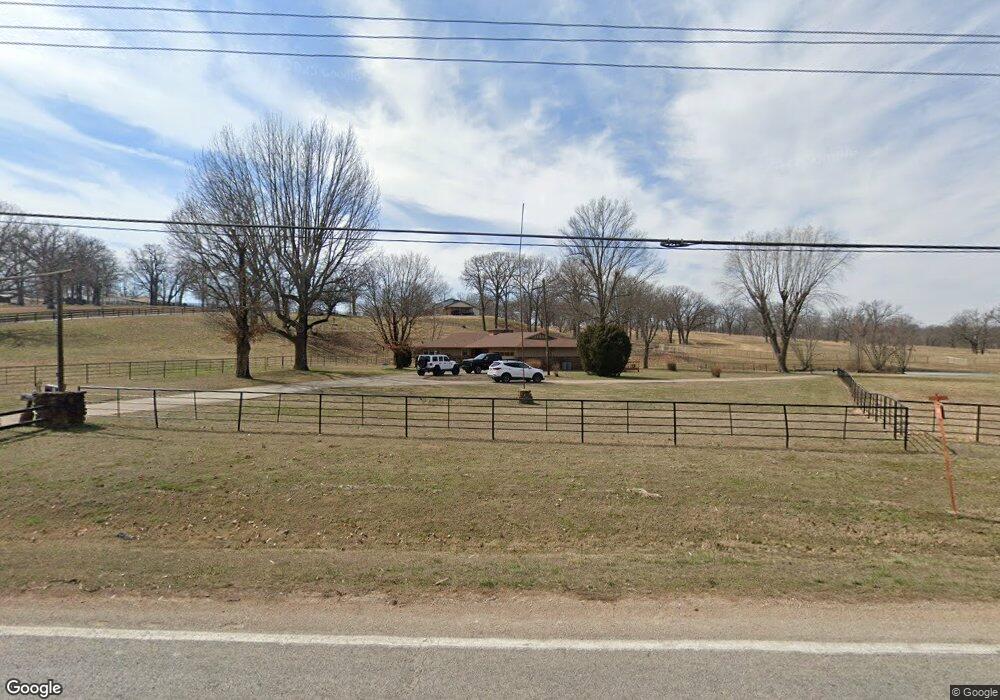
5392 Highway 112 Springdale, AR 72762
Estimated Value: $566,000 - $850,037
Studio
3
Baths
2,770
Sq Ft
$244/Sq Ft
Est. Value
About This Home
This home is located at 5392 Highway 112, Springdale, AR 72762 and is currently estimated at $674,509, approximately $243 per square foot. 5392 Highway 112 is a home located in Benton County with nearby schools including Evening Star Elementary School, Bright Field Middle School, and Fulbright Junior High School.
Ownership History
Date
Name
Owned For
Owner Type
Purchase Details
Closed on
Feb 21, 2022
Sold by
Jim G Cash And Betty L Cash Joint Trust and Cash Jim G
Bought by
James G Cash Jr And Kimberly S Cash Family Li and Cash
Current Estimated Value
Purchase Details
Closed on
Jan 7, 2005
Sold by
Cash Jim G and Cash Betty L
Bought by
Cash Jim G and Cash Betty L
Purchase Details
Closed on
Jan 23, 1974
Bought by
Hawkins
Create a Home Valuation Report for This Property
The Home Valuation Report is an in-depth analysis detailing your home's value as well as a comparison with similar homes in the area
Purchase History
| Date | Buyer | Sale Price | Title Company |
|---|---|---|---|
| James G Cash Jr And Kimberly S Cash Family Li | -- | None Listed On Document | |
| Cash Jim G | -- | None Available | |
| Hawkins | $4,000 | -- |
Source: Public Records
Tax History
| Year | Tax Paid | Tax Assessment Tax Assessment Total Assessment is a certain percentage of the fair market value that is determined by local assessors to be the total taxable value of land and additions on the property. | Land | Improvement |
|---|---|---|---|---|
| 2025 | $2,493 | $96,314 | $18,438 | $77,876 |
| 2024 | $2,280 | $96,399 | $18,523 | $77,876 |
| 2023 | $2,072 | $64,214 | $10,833 | $53,381 |
| 2022 | $1,748 | $64,214 | $10,833 | $53,381 |
| 2021 | $1,750 | $64,370 | $10,990 | $53,380 |
| 2020 | $1,761 | $45,510 | $7,980 | $37,530 |
| 2019 | $1,761 | $45,510 | $7,980 | $37,530 |
| 2018 | $1,786 | $45,510 | $7,980 | $37,530 |
| 2017 | $1,720 | $45,540 | $8,010 | $37,530 |
| 2016 | $1,720 | $45,540 | $8,010 | $37,530 |
| 2015 | $2,062 | $40,620 | $4,850 | $35,770 |
| 2014 | $1,712 | $40,620 | $4,850 | $35,770 |
Source: Public Records
Map
Nearby Homes
- 4.18 Acres Kelly Rd
- TBD 3.83 AC Kelly Rd
- 13481 Kelly Rd
- 0 Kelley Rd
- TBD Fair Ln
- 1359 Duffers Ct
- 4022 Als Dr
- 206 Doral Dr
- 7915 Teton Trail Ave
- 208 Doral Dr
- 4860 Cowboy St
- 4814 Cowboy St
- 304 Doral Dr
- 7872 Teton Trail Ave
- 4790 Cowboy St
- 1067 Torrey Pines Ln
- 206 Deere Run Dr
- 4749 Cowboy St
- 0 Pintail Ln Unit 1335973
- 5009 Farmhouse St
- 0 Miller & Hwy 112
- 13740 W Miller Rd
- 9037 Springridge Dr
- 13063 Hickory Ct
- 0 Springridge Dr Unit 548394
- 13062 Hickory Ct
- 8985 Crest Ln
- 8949 Crest Ln
- 8961 Crest Ln
- 9013 Springridge Dr
- 9013 Spring Ridge Dr
- 13199 Rusty Blackhaw Ct
- 5190 Highway 112
- 8925 Crest Ln
- 8925 E Crest Ln
- 8913 Crest Ln
- 4.1Ac Hickory Flats
- 13198 Rusty Blackhaw Ct
- 5193 Highway 112
- 8984 Crest Ln
Your Personal Tour Guide
Ask me questions while you tour the home.