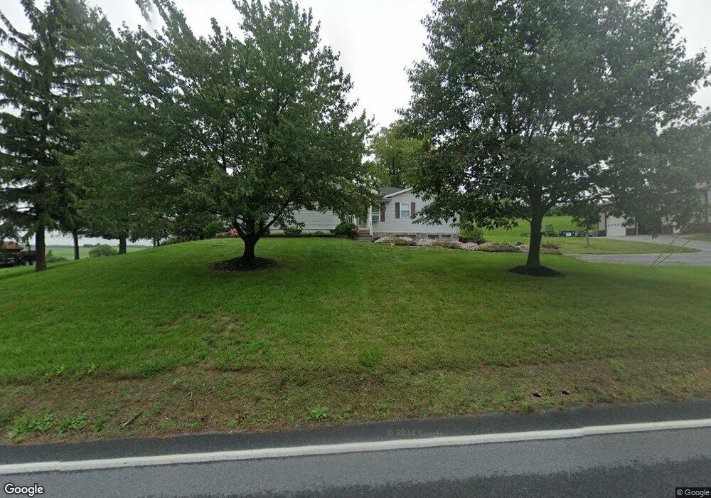
5393 Manheim Rd Waynesboro, PA 17268
Estimated Value: $397,000 - $458,000
--
Bed
--
Bath
2,516
Sq Ft
$170/Sq Ft
Est. Value
About This Home
This home is located at 5393 Manheim Rd, Waynesboro, PA 17268 and is currently estimated at $427,858, approximately $170 per square foot. 5393 Manheim Rd is a home located in Franklin County with nearby schools including Waynesboro Area Senior High School, Providence School - Pigeon Hill Building, and Providence School - Oak Hill Building.
Ownership History
Date
Name
Owned For
Owner Type
Purchase Details
Closed on
Jun 6, 2025
Sold by
Horst Roderick L and Horst Heather M
Bought by
Rudolph Lamar V and Rudolph Edna F
Current Estimated Value
Home Financials for this Owner
Home Financials are based on the most recent Mortgage that was taken out on this home.
Original Mortgage
$375,000
Outstanding Balance
$374,037
Interest Rate
6.81%
Mortgage Type
New Conventional
Estimated Equity
$53,821
Purchase Details
Closed on
Oct 24, 2017
Sold by
Horst Roderick L and Horst Heather M
Bought by
Horst Roderick L and Horst Heather M
Home Financials for this Owner
Home Financials are based on the most recent Mortgage that was taken out on this home.
Original Mortgage
$195,472
Interest Rate
3.78%
Mortgage Type
New Conventional
Create a Home Valuation Report for This Property
The Home Valuation Report is an in-depth analysis detailing your home's value as well as a comparison with similar homes in the area
Home Values in the Area
Average Home Value in this Area
Purchase History
| Date | Buyer | Sale Price | Title Company |
|---|---|---|---|
| Rudolph Lamar V | $525,000 | None Listed On Document | |
| Horst Roderick L | -- | None Available |
Source: Public Records
Mortgage History
| Date | Status | Borrower | Loan Amount |
|---|---|---|---|
| Open | Rudolph Lamar V | $375,000 | |
| Previous Owner | Horst Roderick L | $195,472 |
Source: Public Records
Tax History Compared to Growth
Tax History
| Year | Tax Paid | Tax Assessment Tax Assessment Total Assessment is a certain percentage of the fair market value that is determined by local assessors to be the total taxable value of land and additions on the property. | Land | Improvement |
|---|---|---|---|---|
| 2025 | $4,542 | $31,130 | $2,750 | $28,380 |
| 2024 | $4,402 | $31,130 | $2,750 | $28,380 |
| 2023 | $4,281 | $31,130 | $2,750 | $28,380 |
| 2022 | $4,156 | $31,130 | $2,750 | $28,380 |
| 2021 | $4,032 | $31,130 | $2,750 | $28,380 |
| 2020 | $4,032 | $31,130 | $2,750 | $28,380 |
| 2019 | $3,939 | $31,130 | $2,750 | $28,380 |
| 2018 | $3,806 | $31,130 | $2,750 | $28,380 |
| 2017 | $3,721 | $31,130 | $2,750 | $28,380 |
| 2016 | $747 | $26,090 | $2,750 | $23,340 |
| 2015 | $697 | $26,090 | $2,750 | $23,340 |
| 2014 | $697 | $26,090 | $2,750 | $23,340 |
Source: Public Records
Map
Nearby Homes
- 5434 Manheim Rd
- 7468 Anthony Hwy
- 6456 Wayne Hwy
- 6159 Orphanage Rd
- 8655 Wayne Hwy
- 286 Verdier St
- 6 S Main St
- 207 University Dr
- 111 Poplar St
- 8620 Monns Gap Rd
- 8652 Mormon Church Rd
- 5118 Burkholder Rd
- 6158 Merion Dr
- 7205 Fairway Dr S
- 6337 Medina Ridge Dr
- 3891 Alfalfa Ln
- 3881 Farmstead Dr
- 6396 Saucon Valley Dr
- 5490 Honey Rock Ct
- 6352 Penn National Dr
- 5393 Manheim Rd
- 5456 Manheim Rd
- 5368 Manheim Rd
- 5484 Manheim Rd
- 5352 Manheim Rd
- 5516 Manheim Rd
- 5290 Manheim Rd
- 5617 Manheim Rd
- 5260 Manheim Rd
- 5232 Manheim Rd
- 5204 Manheim Rd
- 5659 Manheim Rd
- 5401 Manheim Rd
- 5166 Manheim Rd
- 5725 Manheim Rd
- 5140 Manheim Rd
- 5719 Manheim Rd
- 5116 Manheim Rd
- 5741 Manheim Rd
- 5751 Manheim Rd