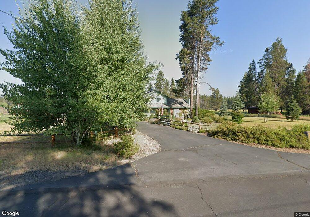
53939 Pine Grove Rd La Pine, OR 97739
Estimated Value: $731,619 - $940,000
4
Beds
3
Baths
2,420
Sq Ft
$345/Sq Ft
Est. Value
About This Home
This home is located at 53939 Pine Grove Rd, La Pine, OR 97739 and is currently estimated at $834,655, approximately $344 per square foot. 53939 Pine Grove Rd is a home located in Deschutes County with nearby schools including Rosland Elementary School, La Pine Middle School, and La Pine Senior High School.
Ownership History
Date
Name
Owned For
Owner Type
Purchase Details
Closed on
Jun 17, 2020
Sold by
Neary J Michale J and Neary Sandra A
Bought by
Neary John Michael and Neary Sandra Anne
Current Estimated Value
Purchase Details
Closed on
May 26, 2005
Sold by
Boerckel Paul R and Boerckel Sharon D
Bought by
Neary J Michael and Neary Sandra A
Home Financials for this Owner
Home Financials are based on the most recent Mortgage that was taken out on this home.
Original Mortgage
$263,200
Outstanding Balance
$131,121
Interest Rate
5.25%
Mortgage Type
Fannie Mae Freddie Mac
Estimated Equity
$703,534
Create a Home Valuation Report for This Property
The Home Valuation Report is an in-depth analysis detailing your home's value as well as a comparison with similar homes in the area
Home Values in the Area
Average Home Value in this Area
Purchase History
We collect this data history from publicly available records. To have your information removed, we recommend requesting removal directly through your county’s website.
| Date | Buyer | Sale Price | Title Company |
|---|---|---|---|
| Neary John Michael | -- | None Available | |
| Neary J Michael | $329,000 | Western Title & Escrow Co |
Source: Public Records
Mortgage History
We collect this data history from publicly available records. To have your information removed, we recommend requesting removal directly through your county’s website.
| Date | Status | Borrower | Loan Amount |
|---|---|---|---|
| Open | Neary J Michael | $263,200 | |
| Closed | Neary J Michael | $65,800 |
Source: Public Records
Tax History
| Year | Tax Paid | Tax Assessment Tax Assessment Total Assessment is a certain percentage of the fair market value that is determined by local assessors to be the total taxable value of land and additions on the property. | Land | Improvement |
|---|---|---|---|---|
| 2025 | $4,519 | $275,180 | -- | -- |
| 2024 | $4,329 | $267,170 | -- | -- |
| 2023 | $4,231 | $259,390 | $0 | $0 |
| 2022 | $3,755 | $244,510 | $0 | $0 |
| 2021 | $3,776 | $237,390 | $0 | $0 |
| 2020 | $3,574 | $237,390 | $0 | $0 |
| 2019 | $3,539 | $230,480 | $0 | $0 |
| 2018 | $3,438 | $223,770 | $0 | $0 |
| 2017 | $3,348 | $217,260 | $0 | $0 |
| 2016 | $3,191 | $210,940 | $0 | $0 |
Source: Public Records
Map
Nearby Homes
- 53709 Riverview Dr
- 16523 Sprague Loop
- 16506 Sprague Loop
- 53666 Central Way
- 53606 Bridge Dr
- 156358 Sherrie Way
- 16356 Park Dr
- 16732 Contorta Place
- 16337 Lava Dr
- 16261 Twin Dr
- 16245 Sparks Dr
- 16631 Serpentine Dr
- 53625 Woodchuck Dr
- 0 Tl 211107b000108 Tl 211106c00 Unit 220214691
- 53623 Woodchuck Dr
- 53605 Bobwhite Ct
- 16140 Sparks Dr
- 16122 Lava Dr
- 0 No Situs Unit 220218135
- 16111 Lava Dr
- 53925 Pine Grove Rd
- 53951 Pine Grove Rd
- 53924 Pine Grove Rd
- 16776 Shadow Ct
- 53905 Pine Grove Rd
- 53965 Pine Grove Rd
- 16817 Shadow Ct
- 53970 Pine Grove Rd
- 53902 Pine Grove Rd
- 16810 Shadow Ct
- 53981 Pine Grove Rd
- 53885 Pine Grove Rd
- 53885 Pine Grove
- 53989 Pine Grove Rd
- 53990 Pine Grove Rd
- 53910 Pine Grove Rd
- 53871 Pine Grove Rd
- 53855 Pine Grove Rd
- 53872 Pine Grove Rd
- 53880 Pine Grove Rd
Your Personal Tour Guide
Ask me questions while you tour the home.