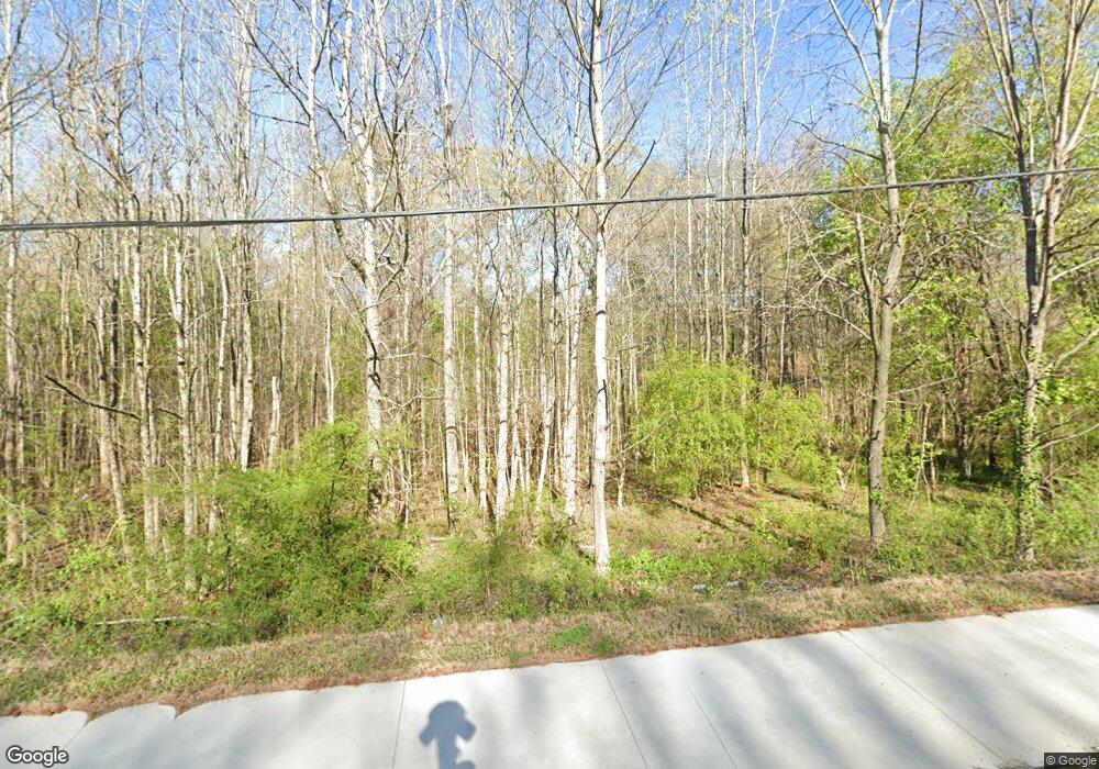
5394 Austell Rd Austell, GA 30106
Estimated Value: $81,832 - $321,000
--
Bed
--
Bath
--
Sq Ft
0.9
Acres
About This Home
This home is located at 5394 Austell Rd, Austell, GA 30106 and is currently estimated at $210,944. 5394 Austell Rd is a home located in Cobb County with nearby schools including Deerwood Elementary School, Austell Elementary School, and Garrett Middle School.
Ownership History
Date
Name
Owned For
Owner Type
Purchase Details
Closed on
Apr 30, 2012
Sold by
Branch Banking And Trust C
Bought by
Hybrass Properties Llc
Current Estimated Value
Purchase Details
Closed on
Feb 2, 2010
Sold by
Leach Lloyd and Leach Navlette
Bought by
Branch Banking & Trust
Purchase Details
Closed on
Mar 8, 2005
Sold by
Brock L M
Bought by
Leach Lloyd G and Leach Navlette
Home Financials for this Owner
Home Financials are based on the most recent Mortgage that was taken out on this home.
Original Mortgage
$100,000
Interest Rate
5.6%
Create a Home Valuation Report for This Property
The Home Valuation Report is an in-depth analysis detailing your home's value as well as a comparison with similar homes in the area
Home Values in the Area
Average Home Value in this Area
Purchase History
| Date | Buyer | Sale Price | Title Company |
|---|---|---|---|
| Hybrass Properties Llc | $4,070 | -- | |
| Branch Banking & Trust | $32,000 | -- | |
| Leach Lloyd G | $125,000 | -- |
Source: Public Records
Mortgage History
| Date | Status | Borrower | Loan Amount |
|---|---|---|---|
| Previous Owner | Leach Lloyd G | $100,000 |
Source: Public Records
Tax History Compared to Growth
Tax History
| Year | Tax Paid | Tax Assessment Tax Assessment Total Assessment is a certain percentage of the fair market value that is determined by local assessors to be the total taxable value of land and additions on the property. | Land | Improvement |
|---|---|---|---|---|
| 2025 | $824 | $30,328 | $30,328 | -- |
| 2024 | $824 | $30,328 | $30,328 | -- |
| 2023 | $824 | $30,328 | $30,328 | $0 |
| 2022 | $515 | $18,816 | $18,816 | $0 |
| 2021 | $448 | $16,308 | $16,308 | $0 |
| 2020 | $345 | $12,544 | $12,544 | $0 |
| 2019 | $345 | $12,544 | $12,544 | $0 |
| 2018 | $198 | $7,212 | $7,212 | $0 |
| 2017 | $121 | $4,704 | $4,704 | $0 |
| 2016 | $121 | $4,704 | $4,704 | $0 |
| 2015 | $83 | $3,136 | $3,136 | $0 |
| 2014 | $84 | $3,136 | $0 | $0 |
Source: Public Records
Map
Nearby Homes
- 5025 Bishops Row SW
- 2136 Perkerson Mill Rd SW
- 2070 Ravencliff Dr
- 1803 Gherry Dr
- 1971 Annette Ln
- 1 Perkerson Mill Rd SW
- 2335 Ravencliff Dr
- 2335 Ravencliff Dr Unit 91
- 2425 Ravencliff Dr Unit 88
- 2425 Ravencliff Dr
- 2060 Sanders Dr
- 1943 Arnold Dr
- The Norwood II Plan at Sanders Park
- The Greenbrier II Plan at Sanders Park
- The Ellison II Plan at Sanders Park
- The Buford II Plan at Sanders Park
- The Maddux II Plan at Sanders Park
- The Braselton II Plan at Sanders Park
- 2420 Ravencliff Dr
- 2420 Ravencliff Dr Unit 143
- 5451 Austell Rd
- 5010 Bishops Row
- 5461 Austell Rd
- 5471 Austell Rd
- 5390 Austell Rd
- 5441 Austell Rd
- 2219 Sweetwater Ln
- 5005 Bishops Row
- 5020 Bishops Row
- 5481 Austell Rd
- 2180 Sweetwater Ln
- 5405 Austell Rd
- 5501 Austell Rd
- 5015 Bishops Row
- 5030 Bishops Row
- 2194 Sweetwater Ln
- 5491 Austell Rd
- 5388 Austell Rd
- 4010 Castile Square
- 2200 Sweetwater Ln