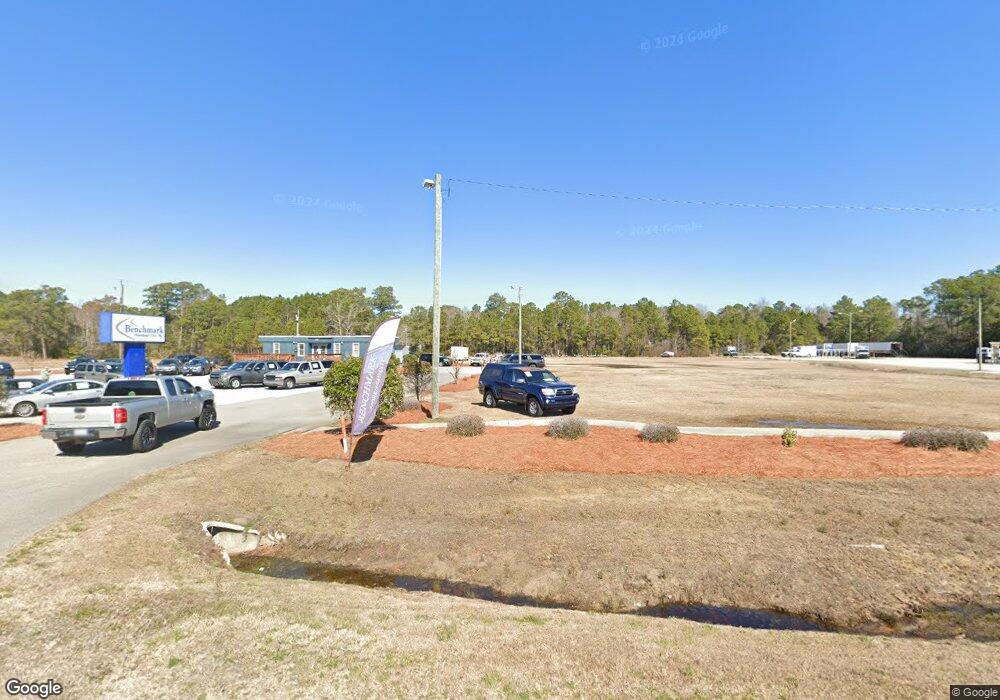
5394 Highway 70 W Morehead City, NC 28557
Estimated Value: $191,000 - $880,000
--
Bed
1
Bath
369,824
Sq Ft
$1/Sq Ft
Est. Value
About This Home
This home is located at 5394 Highway 70 W, Morehead City, NC 28557 and is currently estimated at $535,500, approximately $1 per square foot. 5394 Highway 70 W is a home located in Carteret County with nearby schools including Morehead City Primary School, Morehead Elementary School at Camp Glenn, and Newport Middle School.
Ownership History
Date
Name
Owned For
Owner Type
Purchase Details
Closed on
Jul 8, 2016
Sold by
Eastern Coastal Carolina Holdings Llc
Bought by
Segrave Property Holdings Llc
Current Estimated Value
Home Financials for this Owner
Home Financials are based on the most recent Mortgage that was taken out on this home.
Original Mortgage
$762,512
Outstanding Balance
$606,745
Interest Rate
3.48%
Mortgage Type
Commercial
Estimated Equity
-$71,245
Purchase Details
Closed on
Nov 23, 1999
Create a Home Valuation Report for This Property
The Home Valuation Report is an in-depth analysis detailing your home's value as well as a comparison with similar homes in the area
Home Values in the Area
Average Home Value in this Area
Purchase History
| Date | Buyer | Sale Price | Title Company |
|---|---|---|---|
| Segrave Property Holdings Llc | $762,500 | Attorney | |
| -- | $500,000 | -- |
Source: Public Records
Mortgage History
| Date | Status | Borrower | Loan Amount |
|---|---|---|---|
| Open | Segrave Property Holdings Llc | $762,512 |
Source: Public Records
Tax History Compared to Growth
Tax History
| Year | Tax Paid | Tax Assessment Tax Assessment Total Assessment is a certain percentage of the fair market value that is determined by local assessors to be the total taxable value of land and additions on the property. | Land | Improvement |
|---|---|---|---|---|
| 2025 | $4,113 | $707,474 | $631,813 | $75,661 |
| 2024 | $8,417 | $1,109,225 | $1,043,211 | $66,014 |
| 2023 | $3,786 | $1,109,225 | $1,043,211 | $66,014 |
| 2022 | $3,675 | $1,109,225 | $1,043,211 | $66,014 |
| 2021 | $3,676 | $1,109,245 | $1,043,231 | $66,014 |
| 2020 | $3,676 | $1,109,245 | $1,043,231 | $66,014 |
| 2019 | $2,650 | $849,878 | $776,221 | $73,657 |
| 2017 | $2,650 | $849,878 | $776,221 | $73,657 |
| 2016 | $2,820 | $909,750 | $909,750 | $0 |
| 2015 | $2,729 | $909,750 | $909,750 | $0 |
| 2014 | $3,807 | $1,269,030 | $1,269,030 | $0 |
Source: Public Records
Map
Nearby Homes
- 6650 Highway 70 W
- 904 Lord Granville Dr
- 5320 Highway 70 W
- 806 Lord Granville Dr
- 206 Lazy Ln
- 304 Lord Granville Dr
- 404 Hillcrest Dr
- 415 Hillcrest Dr
- 302 Lord Granville Dr
- 212 Lord Granville Dr
- 105 Fairway Dr W
- 311 Lord Granville Dr
- 137 Zacchaeus Ave
- 113 Fairway Dr W
- 476 Highway 24 - B
- 341 Mccabe Rd
- 357 Mccabe Rd
- 200 Tree Fern Dr
- 215 Oak Dr
- 476 Highway 24 - A
- 147 Gladys Teasly Ln
- 157 Gladys Teasly Ln
- 5420 U S 70
- 5380 Highway 70 W Unit D
- 5380 Highway 70 W Unit H
- 5380 Highway 70 W Unit K
- 5514 Highway 70 W
- 5448 Highway 70 W
- 5454 Highway 70 W Unit 1
- 5502 Highway 70 W
- 6919 Highway 70 W Unit C
- 8169 Highway 70 W
- 6741 Highway 70 W
- 6919 Highway 70 W Unit A
- 5370 Highway 70 W
- 140 Oak Trail
- 5621 Highway 70 W
- 920 Lord Granville Dr
- 142 Oak Trail
- 919 Lord Granville Dr