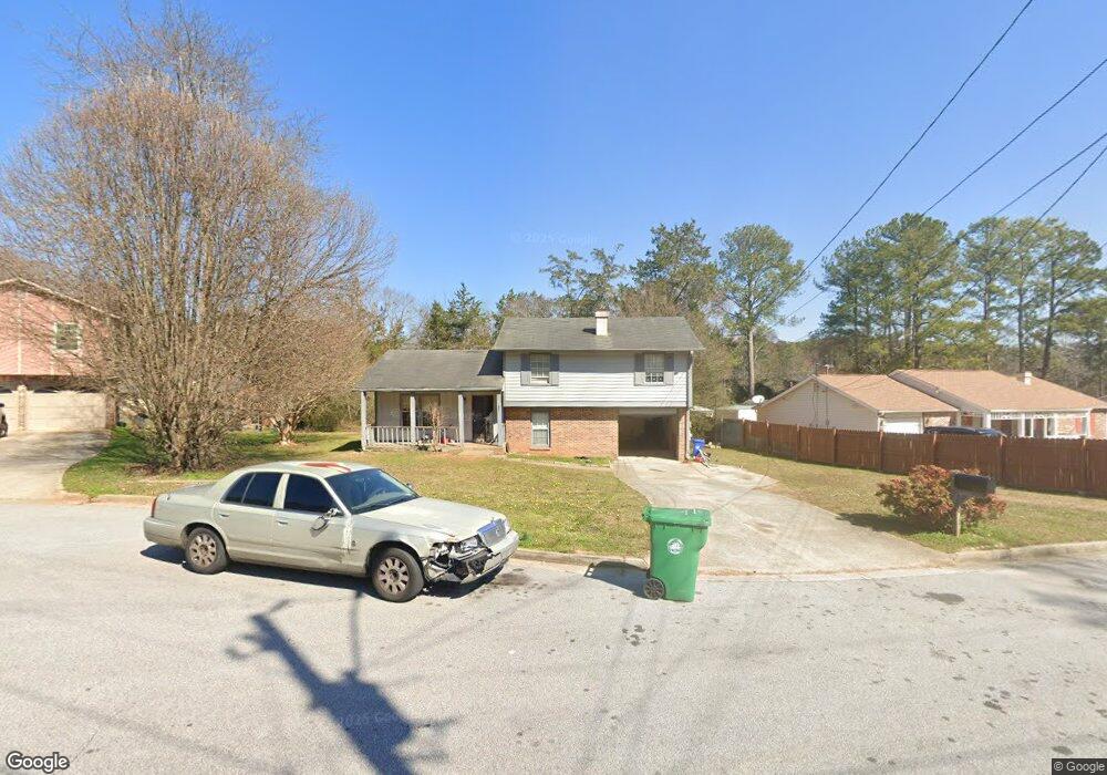
5394 Radford Ln Unit 1 Lithonia, GA 30038
Estimated Value: $217,000 - $235,000
3
Beds
3
Baths
1,592
Sq Ft
$143/Sq Ft
Est. Value
About This Home
This home is located at 5394 Radford Ln Unit 1, Lithonia, GA 30038 and is currently estimated at $227,135, approximately $142 per square foot. 5394 Radford Ln Unit 1 is a home located in DeKalb County with nearby schools including Flat Rock Elementary School, Salem Middle School, and Martin Luther King- Jr. High School.
Ownership History
Date
Name
Owned For
Owner Type
Purchase Details
Closed on
Apr 7, 2016
Sold by
Secretary Of Housing And Urban Developme
Bought by
Fayokun Folarin
Current Estimated Value
Purchase Details
Closed on
Apr 9, 2015
Sold by
Wells Fargo Bank Na
Bought by
Secretary Of Housing And Urban Developme
Purchase Details
Closed on
Apr 7, 2015
Sold by
Ferrell Neva D
Bought by
Wells Fargo Bank Na
Purchase Details
Closed on
Feb 28, 1995
Sold by
Duhart Anthony L Ireta
Bought by
Ferrell Neva D
Create a Home Valuation Report for This Property
The Home Valuation Report is an in-depth analysis detailing your home's value as well as a comparison with similar homes in the area
Home Values in the Area
Average Home Value in this Area
Purchase History
| Date | Buyer | Sale Price | Title Company |
|---|---|---|---|
| Fayokun Folarin | $57,000 | -- | |
| Secretary Of Housing And Urban Developme | -- | -- | |
| Wells Fargo Bank Na | $56,210 | -- | |
| Ferrell Neva D | $75,000 | -- |
Source: Public Records
Mortgage History
| Date | Status | Borrower | Loan Amount |
|---|---|---|---|
| Closed | Ferrell Neva D | $0 |
Source: Public Records
Tax History Compared to Growth
Tax History
| Year | Tax Paid | Tax Assessment Tax Assessment Total Assessment is a certain percentage of the fair market value that is determined by local assessors to be the total taxable value of land and additions on the property. | Land | Improvement |
|---|---|---|---|---|
| 2025 | $4,482 | $89,880 | $12,000 | $77,880 |
| 2024 | $4,492 | $90,800 | $12,000 | $78,800 |
| 2023 | $4,492 | $74,800 | $6,600 | $68,200 |
| 2022 | $3,430 | $70,040 | $6,600 | $63,440 |
| 2021 | $2,640 | $51,280 | $6,600 | $44,680 |
| 2020 | $2,388 | $46,080 | $6,600 | $39,480 |
| 2019 | $2,330 | $45,080 | $6,600 | $38,480 |
| 2018 | $1,654 | $42,280 | $6,600 | $35,680 |
| 2017 | $1,933 | $35,880 | $6,600 | $29,280 |
| 2016 | $1,914 | $35,360 | $6,600 | $28,760 |
| 2014 | $923 | $28,040 | $6,600 | $21,440 |
Source: Public Records
Map
Nearby Homes
- 5394 Radford Ln
- 5402 Radford Ln
- 5390 Radford Ln
- 5395 Robertson Path
- 5391 Robertson Path Unit 1
- 5401 Robertson Path
- 5386 Radford Ln
- 5386 Radford Ln Unit 15
- 5410 Radford Ln
- 5397 Radford Ln
- 5409 Robertson Path
- 5391 Radford Ln
- 5385 Robertson Path
- 5405 Radford Ln
- 5385 Radford Ln
- 5418 Radford Ln
- 0 Robertson Path Unit 3036784
- 0 Robertson Path Unit 7036130
- 0 Robertson Path
- 0 Radford Ln Unit 8280902