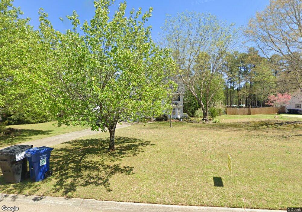
5395 Forest Falls Dr Unit 1 Loganville, GA 30052
Estimated Value: $343,097 - $407,000
--
Bed
--
Bath
2,128
Sq Ft
$175/Sq Ft
Est. Value
About This Home
This home is located at 5395 Forest Falls Dr Unit 1, Loganville, GA 30052 and is currently estimated at $371,524, approximately $174 per square foot. 5395 Forest Falls Dr Unit 1 is a home located in Walton County with nearby schools including Loganville Elementary School, Loganville Middle School, and Loganville High School.
Ownership History
Date
Name
Owned For
Owner Type
Purchase Details
Closed on
Jan 9, 2008
Sold by
Forest Ridge H/Os Assn Inc
Bought by
Forest Ridge Estates H/Os Assn
Current Estimated Value
Purchase Details
Closed on
Dec 30, 1993
Sold by
Jco Homes Inc
Bought by
Phillips Daniel J and Phillips Sharon J
Home Financials for this Owner
Home Financials are based on the most recent Mortgage that was taken out on this home.
Original Mortgage
$97,283
Interest Rate
7.19%
Mortgage Type
FHA
Create a Home Valuation Report for This Property
The Home Valuation Report is an in-depth analysis detailing your home's value as well as a comparison with similar homes in the area
Home Values in the Area
Average Home Value in this Area
Purchase History
| Date | Buyer | Sale Price | Title Company |
|---|---|---|---|
| Forest Ridge Estates H/Os Assn | -- | -- | |
| Phillips Daniel J | $98,900 | -- |
Source: Public Records
Mortgage History
| Date | Status | Borrower | Loan Amount |
|---|---|---|---|
| Previous Owner | Phillips Daniel J | $97,283 |
Source: Public Records
Tax History Compared to Growth
Tax History
| Year | Tax Paid | Tax Assessment Tax Assessment Total Assessment is a certain percentage of the fair market value that is determined by local assessors to be the total taxable value of land and additions on the property. | Land | Improvement |
|---|---|---|---|---|
| 2024 | $2,592 | $113,156 | $22,000 | $91,156 |
| 2023 | $2,163 | $110,236 | $22,000 | $88,236 |
| 2022 | $2,565 | $97,396 | $19,200 | $78,196 |
| 2021 | $2,357 | $82,996 | $17,200 | $65,796 |
| 2020 | $2,221 | $73,876 | $13,200 | $60,676 |
| 2019 | $2,142 | $69,596 | $13,200 | $56,396 |
| 2018 | $2,118 | $69,596 | $13,200 | $56,396 |
| 2017 | $2,198 | $63,796 | $12,800 | $50,996 |
| 2016 | $1,865 | $56,184 | $10,400 | $45,784 |
| 2015 | $1,559 | $46,224 | $9,600 | $36,624 |
| 2014 | $1,466 | $42,528 | $0 | $0 |
Source: Public Records
Map
Nearby Homes
- 5457 Highway 81
- 5357 Highway 81
- 5497 Highway 81
- 5317 Highway 81
- 5474 Forest Dr Unit 4
- 4569 Tiffany Ln
- 4539 Tiffany Ln
- 5363 Forest Dr
- 2681 Round Ridge Rd
- 2665 High Point Ct
- 4885 Watson Mill Ct
- 1803 Brookeshade Ct
- 903 Creek Bottom Rd
- 932 Creek Bottom Rd Unit 1
- 3834 Hawk Tail Dr
- 3971 Dean Grove Way
- 619 Landing Way
- 5385 Forest Falls Dr
- 5375 Forest Falls Dr
- 5417 Highway 81
- 5386 Forest Falls Dr
- 5396 Forest Falls Dr Unit 1
- 5406 Forest Falls Dr
- 5376 Forest Falls Dr
- 2923 Forest Falls
- 2923 Forest Falls Dr
- 2923 Forest Falls
- 5365 Forest Falls Dr Unit 1
- 5366 Forest Falls Dr
- 5437 Highway 81
- 5407 Highway 81
- 5403 Highway 81
- 5425 Forest Falls Dr Unit 2
- 5416 Forest Falls Dr Unit 2
- 5355 Forest Falls Dr
- 5393 Forest Ridge Dr
- 5383 Forest Ridge Dr