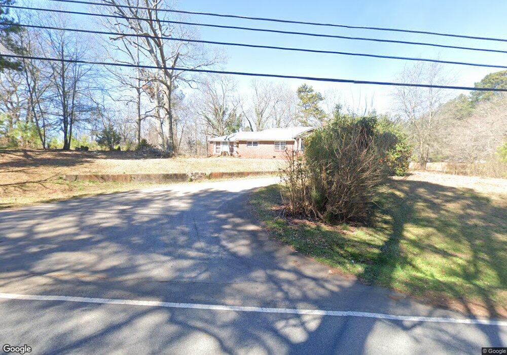
5395 Koweta Rd Atlanta, GA 30349
Estimated Value: $233,000 - $328,000
3
Beds
2
Baths
2,367
Sq Ft
$123/Sq Ft
Est. Value
About This Home
This home is located at 5395 Koweta Rd, Atlanta, GA 30349 and is currently estimated at $290,627, approximately $122 per square foot. 5395 Koweta Rd is a home located in Fulton County with nearby schools including Liberty Point Elementary School, Renaissance Middle School, and Langston Hughes High School.
Ownership History
Date
Name
Owned For
Owner Type
Purchase Details
Closed on
Jul 8, 2011
Sold by
Household Rlty
Bought by
Jennings Claye
Current Estimated Value
Home Financials for this Owner
Home Financials are based on the most recent Mortgage that was taken out on this home.
Original Mortgage
$18,000
Interest Rate
4.53%
Mortgage Type
Trade
Purchase Details
Closed on
Nov 2, 2010
Sold by
Nestlehutt Cathy P and Nestlehutt Ronald C
Bought by
Household Rlty
Purchase Details
Closed on
Jan 17, 2002
Sold by
Nestlehutt Ronald C
Bought by
Nestlehutt Ronald C and Nestlehutt Cathy P
Home Financials for this Owner
Home Financials are based on the most recent Mortgage that was taken out on this home.
Original Mortgage
$42,500
Interest Rate
7.08%
Mortgage Type
New Conventional
Create a Home Valuation Report for This Property
The Home Valuation Report is an in-depth analysis detailing your home's value as well as a comparison with similar homes in the area
Home Values in the Area
Average Home Value in this Area
Purchase History
| Date | Buyer | Sale Price | Title Company |
|---|---|---|---|
| Jennings Claye | $18,000 | -- | |
| Household Rlty | $34,000 | -- | |
| Nestlehutt Ronald C | -- | -- |
Source: Public Records
Mortgage History
| Date | Status | Borrower | Loan Amount |
|---|---|---|---|
| Closed | Jennings Claye | $18,000 | |
| Previous Owner | Nestlehutt Ronald C | $42,500 |
Source: Public Records
Tax History Compared to Growth
Tax History
| Year | Tax Paid | Tax Assessment Tax Assessment Total Assessment is a certain percentage of the fair market value that is determined by local assessors to be the total taxable value of land and additions on the property. | Land | Improvement |
|---|---|---|---|---|
| 2025 | $4,448 | $85,360 | $16,800 | $68,560 |
| 2023 | $2,672 | $94,680 | $24,120 | $70,560 |
| 2022 | $2,213 | $56,440 | $10,960 | $45,480 |
| 2021 | $2,194 | $54,800 | $10,640 | $44,160 |
| 2020 | $2,000 | $49,160 | $5,960 | $43,200 |
| 2019 | $1,908 | $48,320 | $5,880 | $42,440 |
| 2018 | $1,877 | $47,160 | $5,720 | $41,440 |
| 2017 | $1,439 | $35,320 | $12,920 | $22,400 |
| 2016 | $1,440 | $35,320 | $12,920 | $22,400 |
| 2015 | $1,444 | $35,320 | $12,920 | $22,400 |
| 2014 | $310 | $7,200 | $2,880 | $4,320 |
Source: Public Records
Map
Nearby Homes
- 8273 Eastshore Dr
- 8273 Eastshore Dr Unit 2
- 4820 Station Dr Unit 6
- 4824 Station Dr Unit 8
- 4815 Station Dr Unit 33
- 4835 Station Dr Unit 27
- 4816 Station Dr Unit 4
- 4812 Station Dr Unit 2
- 4811 Station Dr Unit 35
- 9515 Lakeview Rd
- 4838 Station Lane-Lot 15
- 3320 Stonewall Ln
- 3318 Stonewall Ln
- 5730 Koweta Rd
- 9899 Vista Cir
- Nelson Plan at The Enclave at Stonewall Station
- Cecil Plan at The Enclave at Stonewall Station
- 4209 Reeshemah St
- 4031 Robin Cir
- 5150 Amberland Square
- 5375 Koweta Rd
- 5390 Koweta Rd
- 5435 Koweta Rd
- 5370 Koweta Rd
- 5410 Koweta Rd
- 5355 Koweta Rd
- 5356 Koweta Rd
- 5356 Koweta Rd Unit 99
- 5420 Koweta Rd
- 5455 Koweta Rd
- 5345 Koweta Rd
- 5440 Koweta Rd
- 5465 Koweta Rd
- 5295 Koweta Rd
- 8942 Crestview Cir
- 5460 Koweta Rd
- 0 Crestview Cir Unit 7437993
- 0 Crestview Cir Unit 7387741
- 0 Crestview Cir Unit 7270191