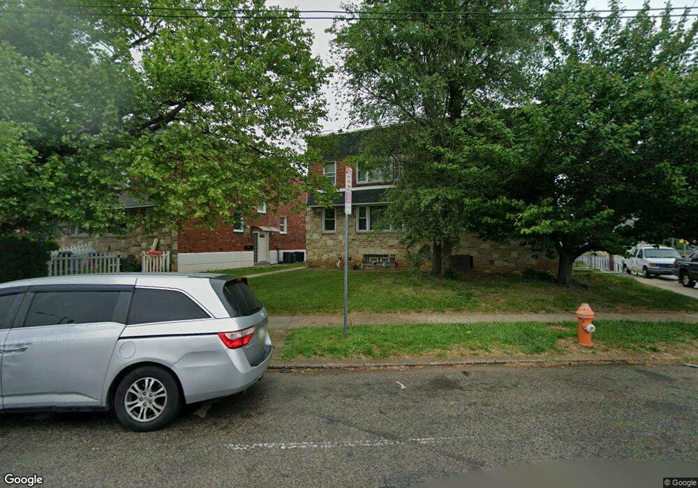
5396 Oxford Ave Philadelphia, PA 19124
Frankford NeighborhoodEstimated Value: $256,000 - $298,224
--
Bed
--
Bath
1,800
Sq Ft
$155/Sq Ft
Est. Value
About This Home
This home is located at 5396 Oxford Ave, Philadelphia, PA 19124 and is currently estimated at $279,075, approximately $155 per square foot. 5396 Oxford Ave is a home located in Philadelphia County with nearby schools including Frankford High School, The Philadelphia Charter School for the Arts & Sciences, and Northwood Academy Charter School.
Ownership History
Date
Name
Owned For
Owner Type
Purchase Details
Closed on
Dec 30, 2021
Sold by
Esther Bushey
Bought by
Rodriguez Prebistera
Current Estimated Value
Purchase Details
Closed on
Jan 10, 2017
Sold by
Bushey Esther and Estate Of Donna Ruth Bushey
Bought by
Bushey Esther
Purchase Details
Closed on
Jan 8, 1996
Sold by
Hall Brian and Hall Rosemary
Bought by
Bushey Donna Ruth
Create a Home Valuation Report for This Property
The Home Valuation Report is an in-depth analysis detailing your home's value as well as a comparison with similar homes in the area
Home Values in the Area
Average Home Value in this Area
Purchase History
| Date | Buyer | Sale Price | Title Company |
|---|---|---|---|
| Rodriguez Prebistera | -- | None Listed On Document | |
| Bushey Esther | -- | None Available | |
| Bushey Donna Ruth | $74,900 | -- |
Source: Public Records
Tax History Compared to Growth
Tax History
| Year | Tax Paid | Tax Assessment Tax Assessment Total Assessment is a certain percentage of the fair market value that is determined by local assessors to be the total taxable value of land and additions on the property. | Land | Improvement |
|---|---|---|---|---|
| 2026 | $2,545 | $252,800 | $50,560 | $202,240 |
| 2025 | $2,545 | $252,800 | $50,560 | $202,240 |
| 2024 | $2,545 | $252,800 | $50,560 | $202,240 |
| 2023 | $2,545 | $181,800 | $36,300 | $145,500 |
| 2022 | $2,545 | $181,800 | $36,300 | $145,500 |
| 2021 | $1,872 | $0 | $0 | $0 |
| 2020 | $1,872 | $0 | $0 | $0 |
| 2019 | $1,796 | $0 | $0 | $0 |
| 2018 | $1,709 | $0 | $0 | $0 |
| 2017 | $1,709 | $0 | $0 | $0 |
| 2016 | $1,499 | $0 | $0 | $0 |
| 2015 | -- | $0 | $0 | $0 |
| 2014 | -- | $122,100 | $47,080 | $75,020 |
| 2012 | -- | $26,528 | $3,228 | $23,300 |
Source: Public Records
Map
Nearby Homes
- 1048 Bridge St
- 1137 Bridge St
- 5661 Miriam Rd
- 5659 Miriam Rd
- 1431 Rosalie St
- 5640 Miriam Rd
- 5347 Sylvester St
- 996 Anchor St
- 1244 E Sanger St
- 991 Carver St
- 5902 E Roosevelt Blvd
- 1204 Pratt St
- 1218 Pratt St
- 1220 Pratt St
- 1225 E Cheltenham Ave
- 972 Bridge St
- 5900 Loretto Ave
- 1211 E Cheltenham Ave
- 7753 E Roosevelt Blvd
- 5451 Oakland St
- 5394 Oxford Ave
- 5392 Oxford Ave
- 5398 Oxford Ave
- 5390 Oxford Ave
- 5388 Oxford Ave Unit 1ST FLOOR
- 5331 Castor Ave
- 5329 Castor Ave
- 5333 Castor Ave
- 5327 Castor Ave
- 5386 Oxford Ave
- 5335 Castor Ave
- 5325 Castor Ave
- 5384 Oxford Ave
- 5323 Castor Ave
- 5321 Castor Ave
- 5318 Rutland St
- 5319 Castor Ave
- 5316 Rutland St
- 5359 Oxford Ave
- 5498 Oxford Ave