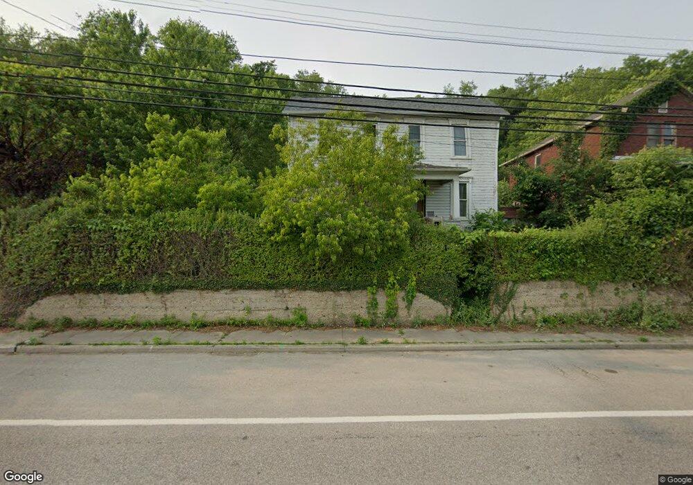
53981 National Rd Bridgeport, OH 43912
Estimated Value: $107,000 - $146,000
3
Beds
1
Bath
1,378
Sq Ft
$92/Sq Ft
Est. Value
About This Home
This home is located at 53981 National Rd, Bridgeport, OH 43912 and is currently estimated at $127,333, approximately $92 per square foot. 53981 National Rd is a home located in Belmont County with nearby schools including Bridgeport Elementary School, Bridgeport Middle School, and Bridgeport High School.
Ownership History
Date
Name
Owned For
Owner Type
Purchase Details
Closed on
Jan 10, 2013
Sold by
Wojick Lucy
Bought by
Polomik Brian
Current Estimated Value
Purchase Details
Closed on
Nov 16, 1999
Sold by
Wojick Lawrence L and Wojick Lucy
Bought by
Wojick Lawrence L and Wojick Lucy
Purchase Details
Closed on
Jan 1, 1986
Sold by
Wojick John E and Wojick Emma
Bought by
Wojick John E and Wojick Emma
Create a Home Valuation Report for This Property
The Home Valuation Report is an in-depth analysis detailing your home's value as well as a comparison with similar homes in the area
Home Values in the Area
Average Home Value in this Area
Purchase History
| Date | Buyer | Sale Price | Title Company |
|---|---|---|---|
| Polomik Brian | -- | Attorney | |
| Wojick Lawrence L | -- | -- | |
| Wojick John E | -- | -- |
Source: Public Records
Tax History Compared to Growth
Tax History
| Year | Tax Paid | Tax Assessment Tax Assessment Total Assessment is a certain percentage of the fair market value that is determined by local assessors to be the total taxable value of land and additions on the property. | Land | Improvement |
|---|---|---|---|---|
| 2024 | $382 | $9,510 | $3,620 | $5,890 |
| 2023 | $761 | $19,730 | $3,620 | $16,110 |
| 2022 | $761 | $19,729 | $3,615 | $16,114 |
| 2021 | $758 | $19,732 | $3,615 | $16,117 |
| 2020 | $675 | $16,440 | $3,010 | $13,430 |
| 2019 | $677 | $16,440 | $3,010 | $13,430 |
| 2018 | $693 | $16,440 | $3,010 | $13,430 |
| 2017 | $588 | $12,910 | $2,870 | $10,040 |
| 2016 | $593 | $12,910 | $2,870 | $10,040 |
| 2015 | $590 | $12,910 | $2,870 | $10,040 |
| 2014 | $571 | $12,650 | $2,610 | $10,040 |
| 2013 | $164 | $12,650 | $2,610 | $10,040 |
Source: Public Records
Map
Nearby Homes
- 67867 Crosley Rd
- 53679 Quimby Ave
- 0 Poplar Dr Unit 4491238
- 68960 Pine Terrace Rd
- 0 Maple Dr Unit T9516724
- 54980 Maple Ave
- 68000 Walnut St
- 68511 Liston Ave
- 55480 National Rd
- 55490 National Rd
- 55273 Poplar Ave
- 55500 National Rd
- 55560 Poplar Ave
- 69657 Chermont Rd
- 65893 McGregor Hill Rd
- 67330 Ebbert Rd S Unit 9
- 51945 William Ln
- 56316 National Rd
- 56559 Boyd Ave
- 56624 Boyd Ave
- 53991 National Rd
- 53997 National Rd
- 53971 National Rd
- 67860 Grade Ave Unit Grade Avenue
- 53988 National Rd
- 54001 National Rd
- 53967 National Rd
- 53994 National Rd
- 53978 National Rd
- 54000 National Rd
- 53961 National Rd
- 54013 National Rd
- 53964 National Rd
- 54018 National Rd
- 53951 National Rd
- 54019 National Rd
- 53960 National Rd
- 53950 National Rd
- 54020 National Rd
- 53945 National Rd