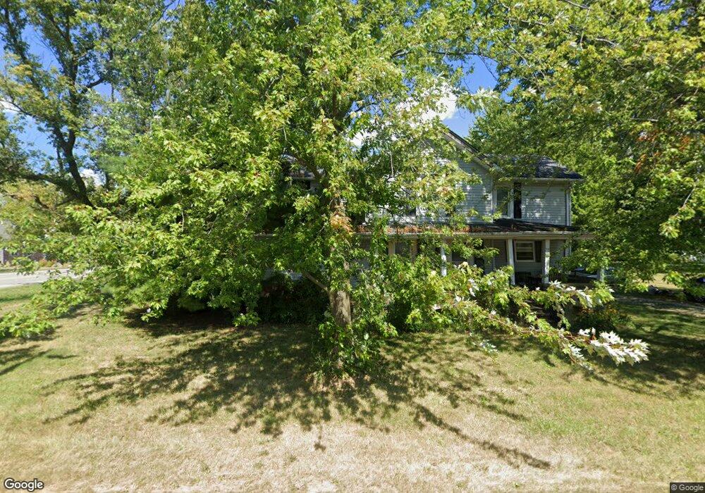
54 Abbott St Wakeman, OH 44889
Estimated Value: $176,362 - $245,000
3
Beds
1
Bath
1,784
Sq Ft
$120/Sq Ft
Est. Value
About This Home
This home is located at 54 Abbott St, Wakeman, OH 44889 and is currently estimated at $213,591, approximately $119 per square foot. 54 Abbott St is a home located in Huron County with nearby schools including Western Reserve Elementary School, Western Reserve Middle School, and Western Reserve High School.
Ownership History
Date
Name
Owned For
Owner Type
Purchase Details
Closed on
Oct 2, 2024
Sold by
Linn Jeffrey A and Linn Sharon A
Bought by
Keown Geraldine
Current Estimated Value
Purchase Details
Closed on
Feb 5, 2009
Bought by
Linn Jeffrey A and Linn Sharon A
Purchase Details
Closed on
Nov 13, 2008
Bought by
Federal National Mortgage Assoc
Purchase Details
Closed on
Sep 30, 2005
Bought by
Scholl Drew T
Purchase Details
Closed on
Jan 7, 1986
Bought by
Dayton Charles E
Create a Home Valuation Report for This Property
The Home Valuation Report is an in-depth analysis detailing your home's value as well as a comparison with similar homes in the area
Purchase History
| Date | Buyer | Sale Price | Title Company |
|---|---|---|---|
| Keown Geraldine | -- | Nationwide Title | |
| Linn Jeffrey A | $68,500 | -- | |
| Federal National Mortgage Assoc | $63,300 | -- | |
| Scholl Drew T | $109,000 | -- | |
| Dayton Charles E | $23,500 | -- |
Source: Public Records
Tax History
| Year | Tax Paid | Tax Assessment Tax Assessment Total Assessment is a certain percentage of the fair market value that is determined by local assessors to be the total taxable value of land and additions on the property. | Land | Improvement |
|---|---|---|---|---|
| 2024 | $2,172 | $55,620 | $5,780 | $49,840 |
| 2023 | $2,164 | $45,850 | $4,090 | $41,760 |
| 2022 | $1,791 | $45,850 | $4,090 | $41,760 |
| 2021 | $1,844 | $45,850 | $4,090 | $41,760 |
| 2020 | $1,429 | $34,610 | $4,090 | $30,520 |
| 2019 | $1,424 | $34,610 | $4,090 | $30,520 |
| 2018 | $1,410 | $34,610 | $4,090 | $30,520 |
| 2017 | $1,305 | $32,330 | $4,090 | $28,240 |
| 2016 | $1,283 | $32,330 | $4,090 | $28,240 |
| 2015 | $1,271 | $32,340 | $4,090 | $28,250 |
| 2014 | $1,107 | $28,290 | $4,100 | $24,190 |
| 2013 | $1,072 | $28,290 | $4,100 | $24,190 |
Source: Public Records
Map
Nearby Homes
- 6175 U S 20
- 23 Stony Brook Ln
- 27 Deer Run Dr
- 42 Stony Brook Ln
- 22 E Main St
- 5 Foxwood Cir
- 22 Foxwood Cir
- 34 Cherdon Cir
- 4883 W River Rd
- 5810 U S 20 Unit 47
- 5810 U S 20 Unit 52
- 5951 Ohio 303
- 5226 State Route 60
- 13701 Andress Rd
- 3876 Townsend Angling Rd
- 1910 Wenz Rd
- 4512 Wenz Rd
- 3257 Hartland Center Rd
- 11909 Joppa Rd
- 1491 Vesta Rd
Your Personal Tour Guide
Ask me questions while you tour the home.