Estimated Value: $424,229 - $479,000
2
Beds
2
Baths
1,180
Sq Ft
$375/Sq Ft
Est. Value
About This Home
This home is located at 54 Black Smith Rd Unit 12, Wells, ME 04090 and is currently estimated at $442,057, approximately $374 per square foot. 54 Black Smith Rd Unit 12 is a home located in York County with nearby schools including Wells Junior High School, Wells Elementary School, and Wells High School.
Ownership History
Date
Name
Owned For
Owner Type
Purchase Details
Closed on
Jul 3, 2019
Sold by
Frydel Helen I Est and Snyder
Bought by
Wefers Barbara E and Wefers Heinz W
Current Estimated Value
Home Financials for this Owner
Home Financials are based on the most recent Mortgage that was taken out on this home.
Original Mortgage
$158,000
Outstanding Balance
$138,347
Interest Rate
4%
Mortgage Type
New Conventional
Estimated Equity
$303,710
Create a Home Valuation Report for This Property
The Home Valuation Report is an in-depth analysis detailing your home's value as well as a comparison with similar homes in the area
Home Values in the Area
Average Home Value in this Area
Purchase History
| Date | Buyer | Sale Price | Title Company |
|---|---|---|---|
| Wefers Barbara E | -- | -- | |
| Wefers Barbara E | -- | -- | |
| Wefers Barbara E | -- | -- |
Source: Public Records
Mortgage History
| Date | Status | Borrower | Loan Amount |
|---|---|---|---|
| Open | Wefers Barbara E | $158,000 | |
| Closed | Wefers Barbara E | $158,000 |
Source: Public Records
Tax History Compared to Growth
Tax History
| Year | Tax Paid | Tax Assessment Tax Assessment Total Assessment is a certain percentage of the fair market value that is determined by local assessors to be the total taxable value of land and additions on the property. | Land | Improvement |
|---|---|---|---|---|
| 2024 | $2,292 | $377,010 | $178,630 | $198,380 |
| 2023 | $2,232 | $374,560 | $178,630 | $195,930 |
| 2022 | $2,010 | $192,160 | $80,990 | $111,170 |
| 2021 | $2,001 | $190,180 | $80,990 | $109,190 |
| 2020 | $1,993 | $190,180 | $80,990 | $109,190 |
| 2019 | $1,982 | $190,180 | $80,990 | $109,190 |
| 2018 | $1,775 | $190,180 | $80,990 | $109,190 |
| 2017 | $1,932 | $190,180 | $80,990 | $109,190 |
| 2016 | $1,913 | $190,180 | $80,990 | $109,190 |
| 2015 | $1,892 | $190,180 | $80,990 | $109,190 |
| 2013 | $1,734 | $190,180 | $80,990 | $109,190 |
Source: Public Records
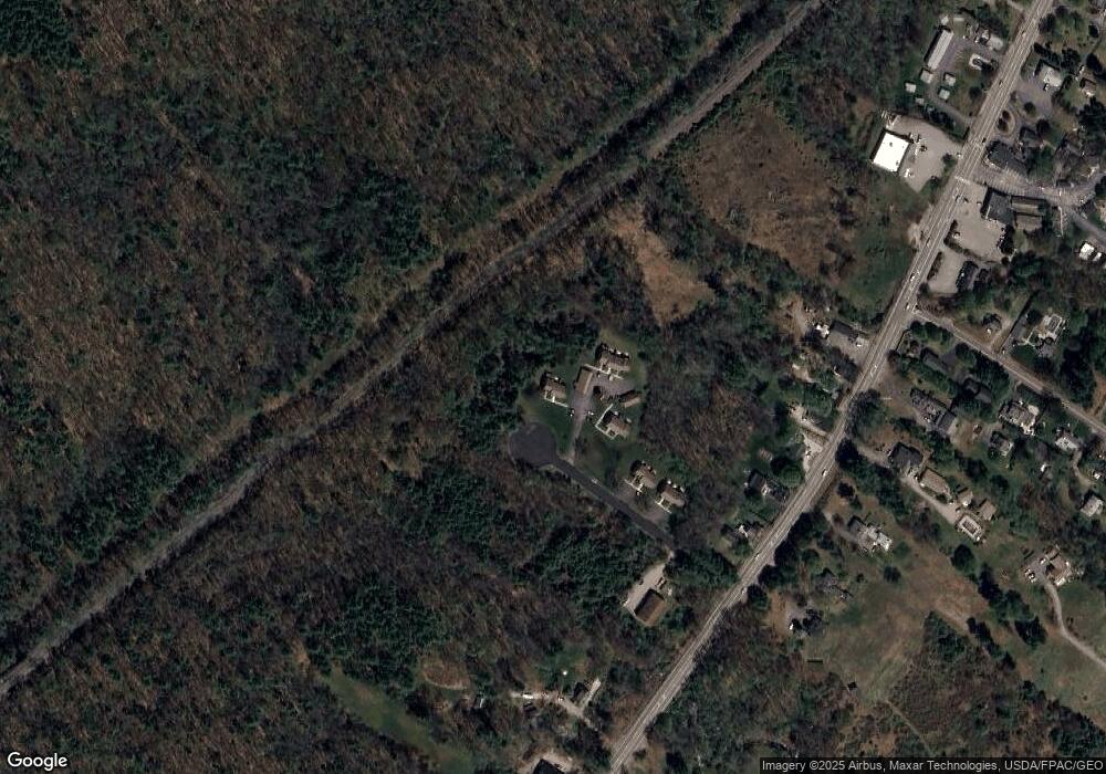
Map
Nearby Homes
- 2073 Post Rd Unit 5
- 2090 Post Rd Unit 4B
- 66 Nicholas Dr
- 43 Sylvan Way Unit 10
- 1830 Post Rd
- 50 Coles Hill Rd
- 1801 Post Rd Unit 174
- 1801 Post Rd Unit 190
- 1762 Post Rd Unit 206
- 1762 Post Rd Unit 233
- 238 Laudholm Farm Rd
- 105 Harbor Rd
- 99 Harbor Rd Unit Lot 52
- 99 Harbor Rd Unit Lot 54
- 47 Whistle Stop Cir
- 89 Skyline Cir
- 21 Whistle Stop Cir
- 102 Heron Landing Dr Unit 22
- 500 Atlantic Ave Unit 2
- 53 Hidden Brook Dr Unit 13
- 54 Black Smith Rd Unit 11
- 54 Black Smith Rd Unit 10
- 54 Blacksmith Rd Unit 13D
- 54 Blacksmith Rd Unit 12
- 52 Black Smith Rd Unit 16
- 52 Black Smith Rd Unit 15
- 52 Black Smith Rd Unit 14
- 49 Black Smith Rd Unit 9
- 49 Black Smith Rd Unit 8
- 49 Black Smith Rd Unit 7
- 27 Black Smith Rd Unit 6
- 27 Black Smith Rd Unit 5
- 27 Black Smith Rd Unit 4
- 27 Blacksmith Rd Unit 5B
- 27 Blacksmith Rd Unit 6B
- 27 Blacksmith Brook Rd Unit 6B
- 21 Black Smith Rd Unit 3
- 21 Black Smith Rd Unit 2
- 21 Black Smith Rd Unit 1
- 21 Blacksmith Rd Unit 3A